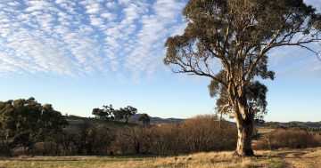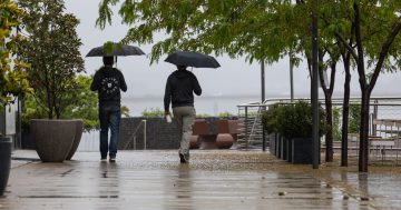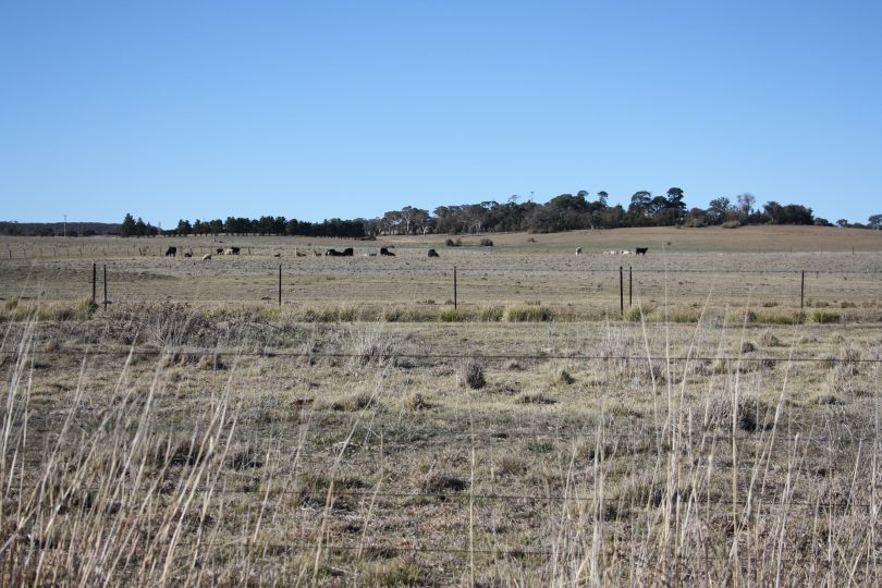
File photo: dry paddocks around Goulburn
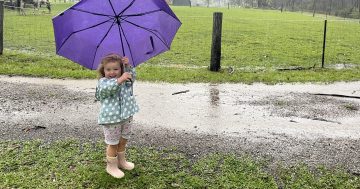
If you believe that the ritual of hanging out your washing or washing your car will bring rain, then you probably need to do those chores now! Just to make sure the forecast rain this weekend really does arrive.
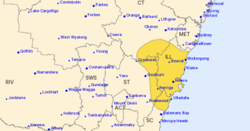
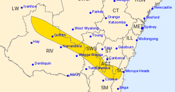
A large band of rain is sweeping through much of the southern half of Australia, with the Canberra and South East NSW expected to see falls in excess of 20 mm from late Saturday and into Sunday and Monday.
The forecast for Canberra is for the chance of showers and a thunderstorm in the afternoon and evening on Saturday. The majority of the rain will fall as showers and possible thunderstorms on Sunday morning. Rain could continue during the day and also into Monday.
The South East will see a similar pattern of rainfall; however, the rain there is expected to continue into Monday before clearing on Tuesday.
Between 20 and 30 mm is expected in the gauges, which will provide a much-needed drink for our parched landscape.
Retired meteorologist Clem Davis told Region Media we generally need about 5 mm of rain before it starts to soak into the soil.
“If we get 20-30 mm of rain, it’s going to be good, but the issue is that we need follow-up rain, and lots of it,” he says.
“If we don’t get the follow-up rain, the grass will go green, but unfortunately, there’s no depth to it, and you get what’s known as a ‘green drought’.
“The issue is that the temperatures are getting hotter, it’s almost summer, and it will dry off very quickly.”
Mr Davis said it is likely that we may see some follow-up rain from Thursday next week, but it was difficult to say if there would be any substance to it.

The Bureau of Meteorology’s forecast for rainfall on Sunday. Photo: BOM.
The Bureau of Meteorology issued its climate outlook this week which said that rainfall is likely to be below average across most of the country for November.
The Bureau said there is a pattern of drier air in NSW which is consistent with a negative SAM (Southern Annular Mode) pattern persisting for most of November. A negative SAM event is one where a belt of strong westerly winds expands towards the equator.
“The drier outlook continues into December for most of Australia, although the chance of drier conditions is lower compared to November. The summer December to February outlook is far more neutral, although most of eastern Australia remains likely to be drier than average,” a Bureau of Meteorology spokesperson says.
“While outlooks for drier than average conditions may ease for some areas in the coming months, it should be noted that several months of above-average rainfall would be needed to see a recovery from current long-term rainfall deficiencies.”
The band of rain forecast for this weekend is moving through from South Australia and into NSW. It also extends as far north as southern Queensland.
Mr Davis says rainfall totals will vary and that there could be some heavier falls where thunderstorms are present. There may also be a little bit of moisture from the Northern Territory where they have seen the first significant falls of the wet season this week.
Failing that, we can always do a little rain dance and maybe wash our cars.
“Washing cars always seems to help,” Mr Davis says
Original Article published by Michael Weaver on the RiotACT.


