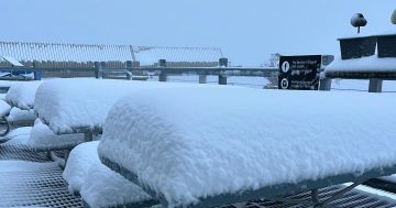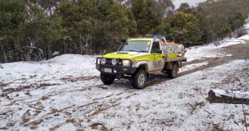
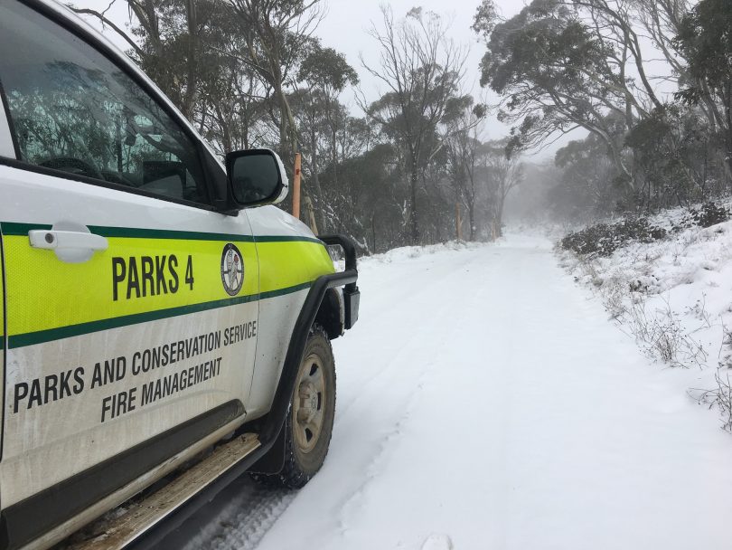
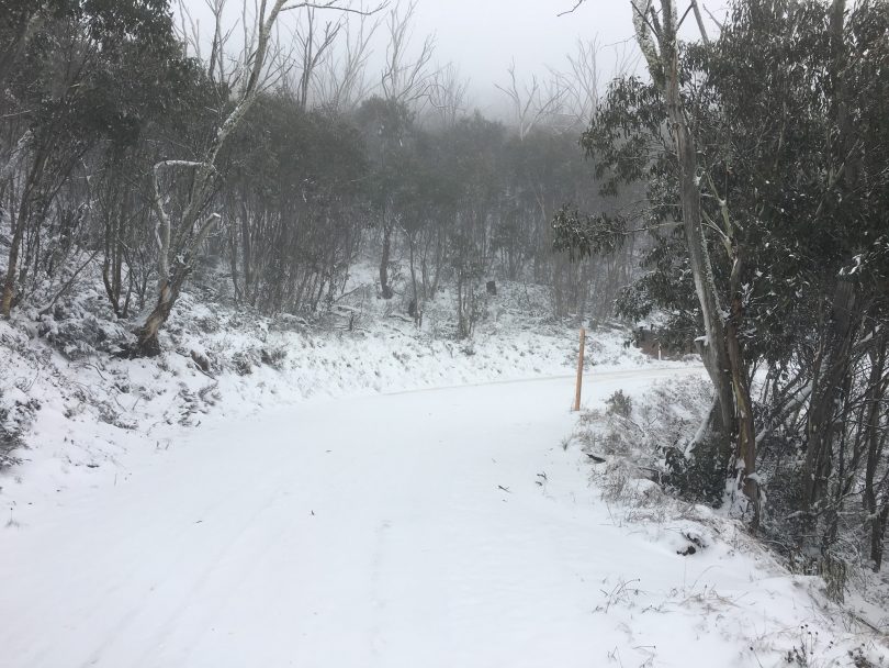
A winter wonderland in Namadji National Park. Photos: ACT Parks and Conservation.
The ACT is in the grip of a cold snap that has brought snow to higher areas, and given the Territory its coldest May day since 2000 on Monday when the mercury could only reach 9.1 degrees Celcius.
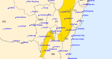
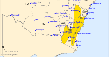
The polar blast is set to continue all week with a succession of cold fronts. The Weather Bureau is warning of damaging winds averaging 60 km/h with peak gusts of 90 km/h about the Southern Tablelands, Southern Highlands (Illawarra) and parts of the Snowy Mountains district.
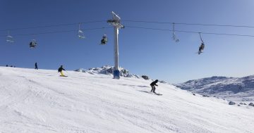
The winds will be even stronger in the Alpine areas, averaging 80 to 90 km/h with peak gusts in excess of 125 km/h, with blizzard conditions. That’s great for the Snowy Mountains resorts, gearing up for the start of the ski season next month.
ACT Parks and Conservation posted these very cool pictures of the snow in our neck of the woods on its Facebook page.
“Game of Thrones is finished but winter is only just beginning in the bush capital! Keep an eye out for white walkers if you’re out in the Namadgi highlands and be aware Mt Franklin Road is closed at Bendora Arboretum gate. Please take care and drive to the conditions,” it says.
Today it only reached 9.5 degrees in the capital and relief will not arrive until Friday. Showers, and more snow up high, will continue on Wednesday with a top of 10, while the Thursday will have more sun but only reach 12.
Friday is expected to be 16 but it will be a frosty start at -3.

Original Article published by Ian Bushnell on The RiotACT.


