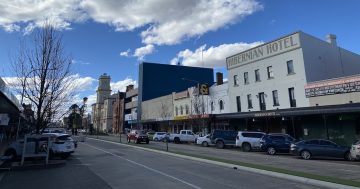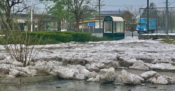
Shore Street, Moruya near Bowling Club. Photo: Alex Rea.
UPDATE 7:45 pm, August 9: Sandbags are being laid in Ford and Vulcan Street businesses in Moruya as the Moruya River rises to an expected peak of 2.9 metres by around 8:00 pm tonight.
Moruya CBD business owners have been told by the SES that they will no longer be able to access any business that is situated to the east of Vulcan Street.
Sandbags are being placed at the entrance to shops and the SES is expecting the floodwaters to peak shortly. Anyone still in the area east of Vulcan Street has been asked to leave.
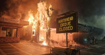
The SES has closed North Head Drive, access to Riverside Park and the Moruya Wharf. Observers say that water is beginning to bubble up from the CBD’s drainage system as the river nears its anticipated peak.
UPDATE 6:30 pm, August 9: Moruya CBD residents have been advised to evacuate the area as soon as possible and make for higher grounds as the Moruya River continues to rise on the back of heavy rains throughout the catchment.
Substantial volumes of water are coming down the Deua River from the Araluen catchment where heavy rains have continued after more than 150 mm was recorded until 9:00 am.
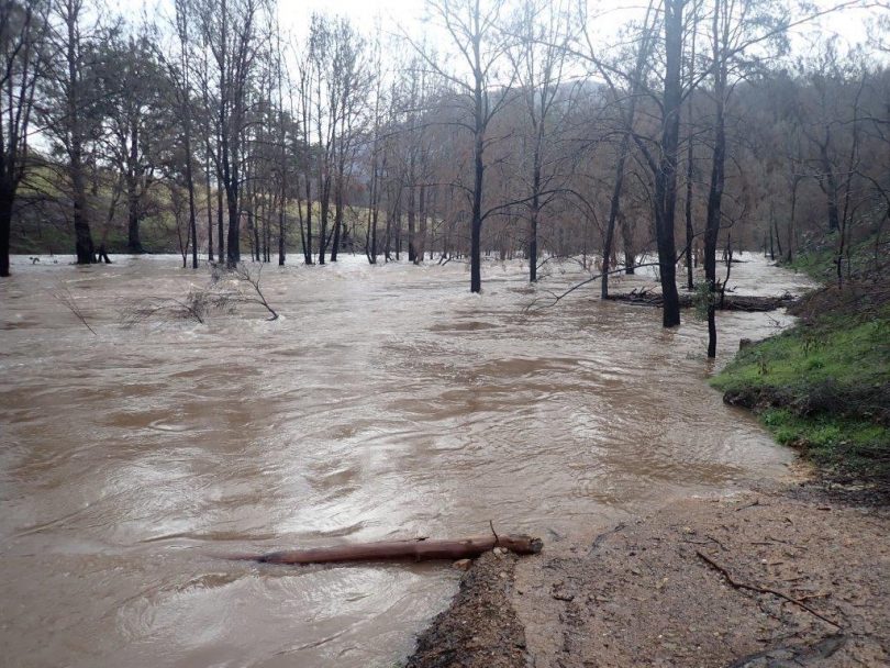
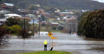
The flood-swollen Deua River at Woola. Photo: Peter Smith.
The NSW SES is now directing people to leave high danger areas within the centre of town and move out of the area to shelter with family and friends where possible.
The advice is to leave as early as possible to avoid restricted road access out of Moruya CBD.
If you can’t go to family or friends, residents can head for the North West corner of the underground carpark in the Village Centre, Perry Street, Batemans Bay where WELFACS staff will be available to register for emergency accommodation. The area will be signposted.
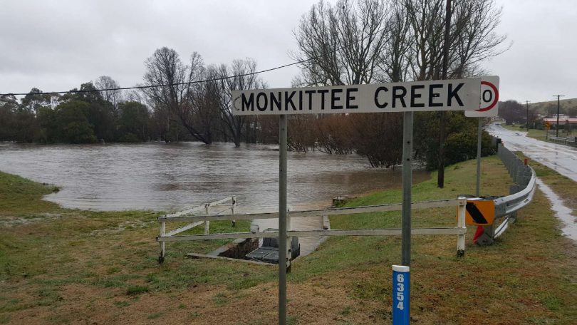
The Monkittee Creek at Braidwood feeds into the top of the Deua catchment. Photo: Robert Aernout.
Locations within the Moruya CBD that may be affected are East of Vulcan Street (Princes Highway). They are:
- Shore Street
- Church Street
- Queen Street
- Ford Street
- Campbell Street
- East of Murray Street towards to Princes Highway
- John Street.
Once floodwater enters Moruya CBD, road access, sewerage lines and power to the area may be lost. The SES is warning that if you remain in the area you will be trapped and it may be too dangerous for NSW SES to rescue you.
You should not attempt to cross flooded creeks, waterways or causeways.
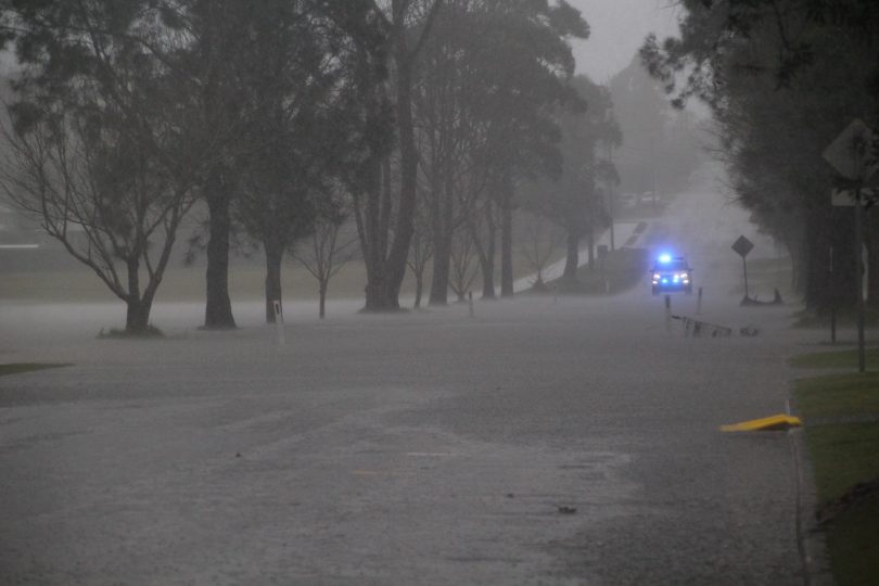
Nerriga Bridge, Araluen. Photo: Carrie Reeves.
If you are in mandatory self-isolation due to COVID-19 please call the Public Health Information line on 1300 066 055 for advice.
Before leaving the SES advises that you can:
- Protect personal possessions and important items by placing them on tables, beds and benches. Put electrical items on top. You may be able to place lightweight items in the roof space.
- Take pets, essential items, warm clothes, medicines, insurance documents and valuables with you.
- Share this information with family, friends and neighbours and help others where possible.
For more information:
- Follow the SES on Facebook or on their website at www.ses.nsw.gov.au
- Latest Weather, Warnings, Rainfall and River heights: www.bom.gov.au/nsw/
- Road Closures: www.livetraffic.com.au or 131 701
For emergency help in floods and storms, call the NSW State Emergency Service on 132 500. In life-threatening situations call triple zero (000) immediately.