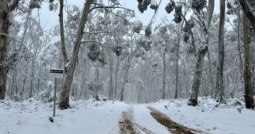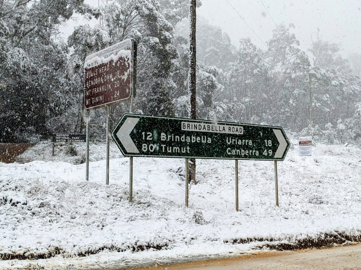
More than 10 cm of snowfall was recorded in the Brindabellas on Sunday. Photo: ACT Weather Watch Twitter.
A cold front brought snow and hail to some parts of the ACT and NSW over the weekend, with temperatures dropping to single digits across the region over the weekend.
Several areas recorded their lowest maximum temperatures for 2023 so far on 7 May, including Bega (at 11.3 degrees Celcius), Goulburn (10 degrees) and Bombala (4 degrees). It was a particularly crisp day in Cooma, where temperatures fell from a high of 12.3 on Saturday down to 2.7 degrees on Sunday.
Across NSW, temperatures were between 2 and 5 degrees below average, and some locations in the Snowy/Monaro countries also saw their coldest May day on record on Sunday, according to BOM, including Bombala and Cooma.
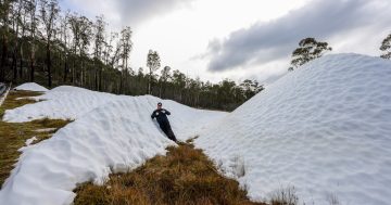
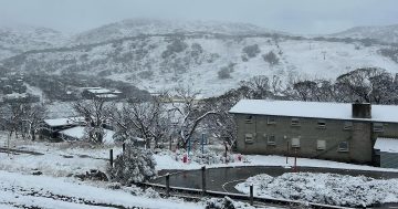
Snow was reported across the region, including 10-15 cm in the Brindabellas, Bungendore and the hills of the ACT; more than 10 cm in the Alps, including Perisher and Thredbo; Cooma, Nimmitabel, and flurries around Bombala; and a dusting of snow in Goulburn, Bowral, Oberon, Orange and Blackheath.
“Interestingly, the eastern side of the ranges, including Robertson and Macquarie Pass, also had decent snow with the low on the eastern side. Snow level was lower than usual with this setup,” the BOM spokesperson noted.
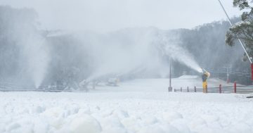
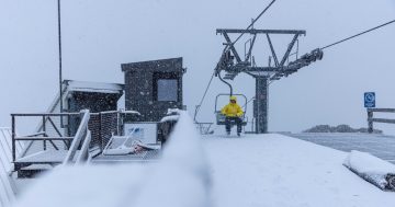
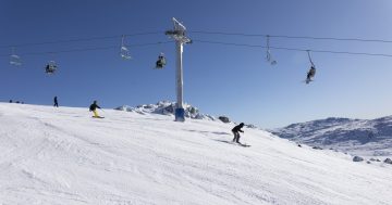
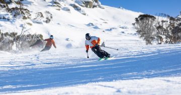
Perisher and Thredbo ski resorts also welcomed the snowfall.
“Blizzard conditions throughout the weekend brought lots more early season snowfall and the temperature on Saturday night was cold enough to kick start our snowmaking operations for this winter,” Thredbo ski resort posted on Monday morning.
“The snow kept falling all the way down to the village on Sunday and there are no signs of this cold front going anywhere yet. There are more snow and snowmaking conditions in the forecast for the coming days with temperatures set to drop as low as minus seven today.”
Temperatures are expected to return to average from tomorrow (9 May), with cold and frosty mornings set to remain as a reminder we are well and truly entering winter.
BOM forecasts widespread frost in eastern NSW on Tuesday morning before a dry, sunny day, while morning frost is forecast for much of the week in Canberra and surroundings.
The Bureau forecasts mostly dry and sunny conditions in the capital this week, with low to no chance of rain between Monday and Friday.
For those wondering if we should be expecting a snowy winter, BOM says: “For the coming winter, the Bureau is forecasting drier and warmer conditions. Although drier conditions mean less likelihood of natural snow, there will also be less likelihood of snow being washed away by rain and more chance of long-lived snow on the ground under clear skies.”
Original Article published by Lizzie Waymouth on Riotact.