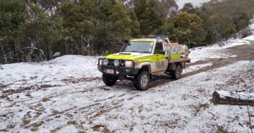
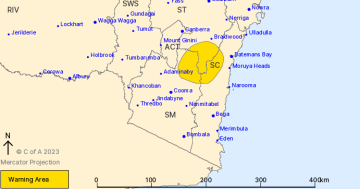
Damaging winds were expected for parts of southeast NSW throughout Monday (31 October). Photo: BoM.
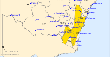
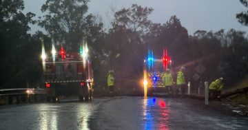
A damaging wind warning’s been issued for large parts of southeast NSW, as a strong cold front moves across the state today (31 October).
Northwesterly winds will strengthen ahead of the front, with conditions expected to ease during Tuesday morning as it heads away into the Tasman Sea.
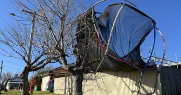
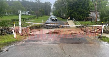
Saturated soils throughout the region bring an increased risk of the strong winds toppling trees and powerlines.
Strong to damaging winds averaging 40 to 65km/h are expected throughout today, with peak gusts in excess of 90 km/h in the Snowy Mountains.
Locations that may be impacted include Bowral, Braidwood, Cooma and Bombala.
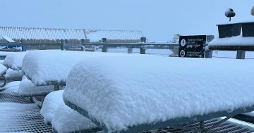
Winds averaging 80 to 90 km/h, with peak gusts in excess of 125 km/h, are possible for Alpine areas above 1900 metres.
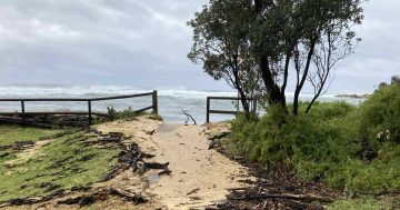
Looking at the South Coast, gale winds warnings are current for the Illawarra, Batemans Bay and Eden coastlines.
The Bombala area is still under Advice status from the NSW State Emergency Service (SES), despite the Bombala River having peaked on Thursday (27 October).
A minor to major flood warning is still current for the Murrumbidgee River, with the flood peak approaching Beremed Weir and likely to reach Narrandera this afternoon.
As this passes the town, the Bureau of Meteorology advises this could renew rises at Darlington Point later this week, with a minor flood peak possible on Friday.
“Minor flooding continues at Balranald, with moderate flooding possible around the second week of November,” the BoM said.
“Further moderate rainfall and thunderstorms are forecast over the Murrumbidgee River catchment during Monday and Tuesday which may cause additional river level rises and areas of renewed flooding, particularly in the upper part of the catchment and tributaries.”
Minor flood watches are also in place for the Snowy, Molonglo and Queanbeyan rivers.
The SES advises during severe weather people should:
- Move vehicles under cover or away from trees
- Secure or put away loose items around your house, yard and balcony
- Keep at least 8 metres away from fallen power lines or objects that may be energised, such as fences
- Trees that have been damaged by fire are likely to be more unstable and more likely to fall
- Report fallen power lines to either Ausgrid (131 388), Endeavour Energy (131 003), Essential Energy (132 080) or Evoenergy (131 093) as shown on your power bill
- Stay vigilant and monitor conditions. Note that the landscape may have changed following bushfires.
For emergency help in floods and storms, ring your local SES Unit on 132 500.