A heatwave is to hit south-east Australia in the coming days. Photo: Sally Hopman.
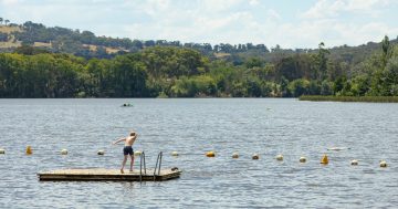
Many are set to swelter through hot conditions in the coming days, so break out the sunscreen (and maybe the swimmers) this week.
Weatherzone meteorologist James Rout said warmer conditions were on the way for much of south-east Australia.
“Those temperatures will continue throughout the weekend and into early next week,” he said.
“There’s high pressure [systems] over the mainland and the cold fronts are staying well south, just impacting Tasmania at this point.”
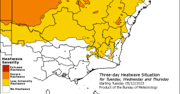
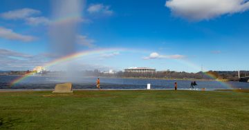
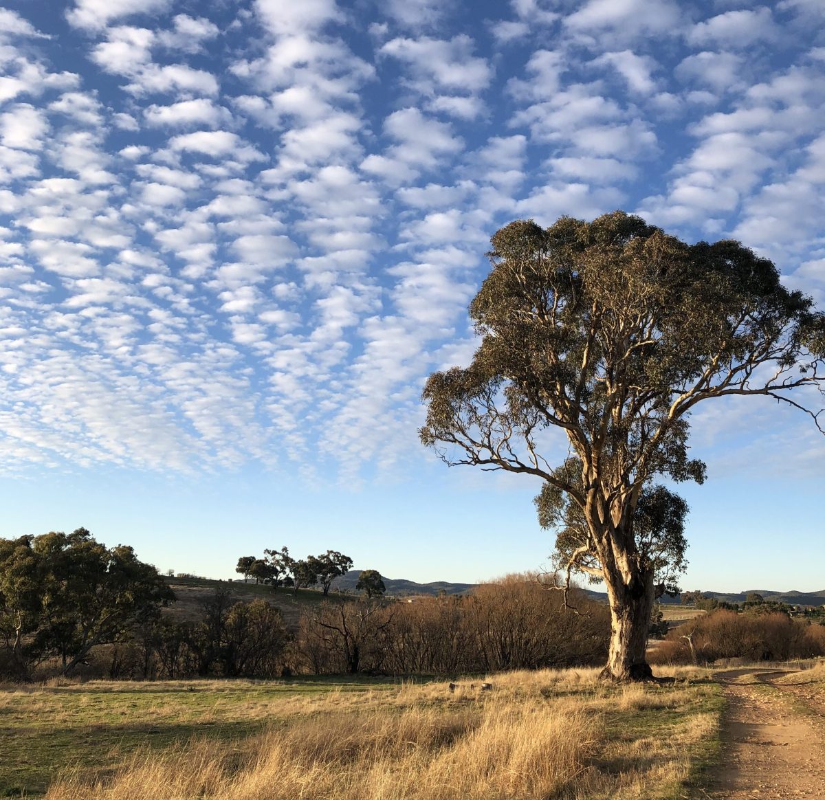
This combination means that southeast areas of New South Wales, and the Australian Capital Territory, will see almost summer-like temperatures for several days.
According to the Bureau of Meteorology, Bega residents will swelter through 35 degrees Celsius on Tuesday (19 September), while Canberra’s forecast of the mid-20s tops out at 27 C on Monday and Tuesday.
Other areas will have temperatures in the mid-to-high 20s, though a few will be near or even pass 30C.
Mr Rout said the heatwave was due to a combination of factors.
“The cold air is not able to come up and replace that warm air, so the hot air is staying in place due to the high pressure,” he said.
“You’ve got high pressure, and the sunshine is also maintaining the warmth in the air.”
Relief from the warmer temperatures was predicted from the middle of next week, Mr Rout said, as the next cold front arrived.
“By Wednesday, a cold front will come with a cooler change,” he said.
This cooler weather would affect Victoria on Wednesday and arrive in NSW the following day, he said.
The forecast temperatures come after several sites in the Australian Alps recorded temperatures of up to or more than 10C above average on Thursday (14 September).
Perisher Valley’s recorded temperature of 18C shortly before 11:30 am meant it had its highest September temperature on record.
“What was driving those warm temperatures in the Australian Alps, and also across south-east Australia more generally, was a cold front drawing down a hot-air mass from the interior of the country,” he said.
“The hot air builds up in Western Australia, across South Australia, and then those fronts drag that air down to south-east Australia.”
Some areas of Victoria – such as Mt Buller, Falls Creek and Mt Baw Baw – also recorded their warmest days.
Mr Rout said while these higher temperatures weren’t unprecedented at this time of year, they were coming earlier than expected.
“It’s not normal, but these conditions come as an El Nino is developing and with a positive Indian Ocean Dipole. It’s not something that is completely unexpected,” he said.
“With those two factors, it’s more expected than it would be with other phenomena.”