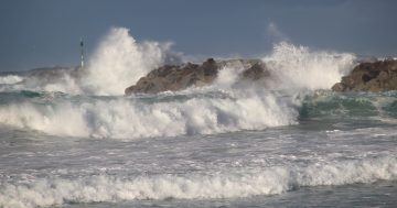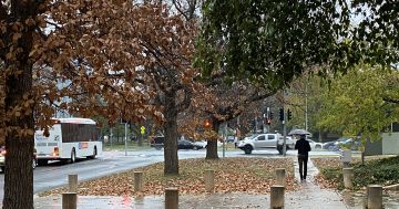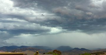
Heavy rain and thunderstorms are forecast this weekend. Photo: Michelle Kroll.
The ACT and the south-east region of NSW are set for another drenching this weekend from what at least one meteorologist is calling a “severe storm trifecta” during the coming days.
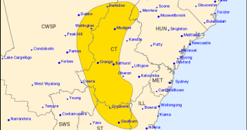
Storms, damaging winds and flash flooding are in the mix across the entire eastern seaboard of NSW and parts of Queensland. There’s also a chance of hail.
The Bureau of Meteorology forecast shows today (23 October) and Saturday as having the most instability from a low-pressure system and associated trough that are slowly moving east. These systems are also drawing high levels of humidity which will cause unsettled and stormy conditions. Thunderstorm activity is forecast to peak and become widespread today and tomorrow.
This will be followed closely by a cold front on Saturday that will bring significantly cooler conditions. Snow is forecast in the mountain ranges above 1700 metres.
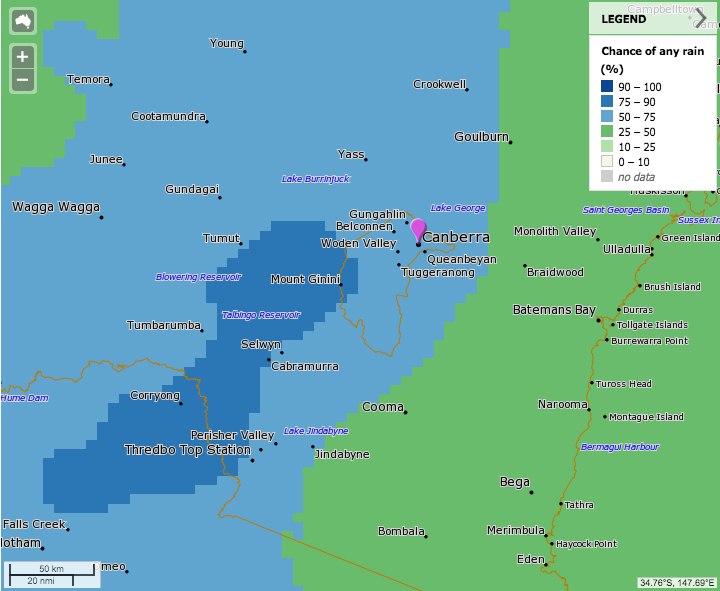
The BOM’s forecast for rainfall in the region on Saturday. Image: MetEye.
Bureau meteorologist Alex Majchrowski told Region Media there is a strong chance of flash-flooding from fast-moving thunderstorms.
“We’re looking at rainfall totals of between 40 and 70 mm in the ACT on Saturday, with higher falls in the ranges. We should also see up to 30 mm in the Snowy Mountains and 20 mm on the South Coast,” Mr Majchrowski said.
“It’s likely that we’ll issue warnings for the possibility of flash flooding, thunderstorms and damaging winds and we’ll also be monitoring the risk of hail.
“The thunderstorms should be fairly fast-moving and will deliver lots of rain in short periods.
“The heaviest rain will be on Saturday but we will also see light to moderate falls into Thursday and Friday next week,” he said.
The Queanbeyan unit of the State Emergency Service also said the rainfall and storms may cause localised flooding following a wet few weeks.
“There will be swelling to the Queanbeyan River, but at this time no flooding is predicted. Googong Dam is currently sitting at 87.79 per cent (as at 22 October).”
“Flash flooding may occur in parts of the Queanbeyan-Palerang area and we urge everyone to be vigilant and stay away from floodwater.”
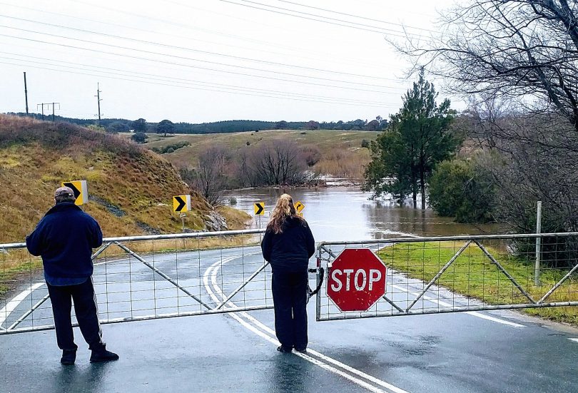
Onlookers check flooding on the Molonglo River at Oaks Estate on 9 August. Photo: Michael Weaver.
The ACT State Emergency Service is encouraging people to be prepared and ensure all gutters are clear and tarp any areas where water may leak, especially those with existing damage from previous storm events.
The La Niña weather pattern is also making its presence felt with moisture streaming in from the Coral Sea. This moisture collides with instability over central Australia, which is triggering the latest round of widespread thunderstorms over the entire eastern half of Australia.
Original Article published by Michael Weaver on The RiotACT.


