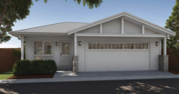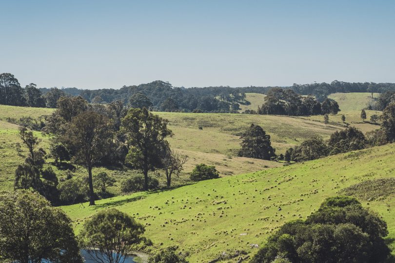
A large area of Eurobodalla’s farm land has been recently mapped as bushfire prone after the Rural Fire Service recently recognised the risk of grasslands. Photo: ESC.
More than 18,400 hectares of land have been added to the Eurobodalla’s bushfire prone land map as part of the latest review.
Every council in NSW is required by legislation to map bushfire prone land according to conditions set by the Rural Fire Service (RFS) in its Guide for Bush Fire Prone Land Mapping.
The map, reviewed and certified by the NSW RFS Commissioner, is used as a trigger to ensure new developments have adequate protection from bushfire.
Eurobodalla Shire Council says the new mapping is not a result of the Black Summer bushfires but a legislative requirement which was already being reviewed before they hit.
But the latest iteration is a sea of red for the Eurobodalla, highlighting the risks for residents in a shire where 70 per cent of the region is non-rateable Crown land held as national park and state forest.
Eurobodalla Council’s planning director Lindsay Usher said that land being mapped as bushfire prone did not prevent development from happening and existing buildings would not require retrospective modifications simply because they were now mapped.
“The new mapping will only affect you if you are planning a new development on your property such as building, renovating or starting a home-based business,” he said.
“It is, however, a timely reminder for all property owners to ensure they have a bushfire survival plan.”
Depending on the level of risk, mitigation, measures may need to be incorporated into developments ranging from things like metal flyscreens and gutter guards, to modifying the style, construction material or location of a building.
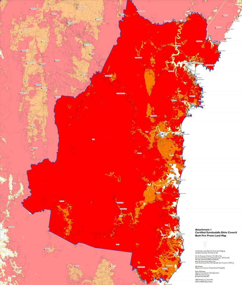
The Eurobodalla’s certified bushfire prone land map is a sea of red. Photo: ESC.
Most land in Eurobodalla is considered bushfire prone with pockets of urban land in and around Batemans Bay, Moruya and Narooma not considered at risk.
Mr Usher said the RFS had recently updated its guidelines since the last map to recognise the risk of grasslands resulting in a lot of Eurobodalla’s farmland being newly mapped.
“About an additional 18,400 hectares of land have now been designated as bushfire prone land in the new map,” Mr Usher said.
“The vast majority of these, 639 properties, are on rural RU1 land.”
You can view the map here. For more information, visit council’s website, contact council’s development helpdesk via email [email protected] or phone 4474 1231.