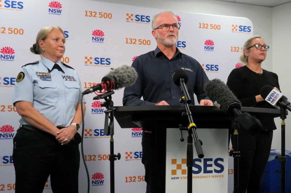
Bureau of Meteorology manager of hazard preparedness and response Steven Bernasconi and NSW SES Deputy Commissioner Debbie Platz have urged the community to be ready for damaging winds, intense rainfall and dangerous surf. Photo: Zoe Cartwright.
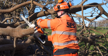
Hundreds of SES volunteers are ready to swing into action as an intense weather system builds off the coast.
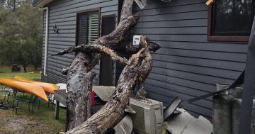
Wind gusts of more than 125 km/h and rainfall of up to 200 mm is possible from Tuesday, 1 July until Friday, 4 July.
Damaging surf presents a danger to people and property near the coastline and coastal erosion is likely. Thunderstorms are also possible.
Flash floods are another major risk, as rainfall will be “short and sharp”.
The danger area ranges from the Mid North Coast down to Batemans Bay.
NSW SES Deputy Commissioner Debbie Platz urged residents to heed warnings, prepare themselves and their homes and take cover.
“This is a dynamic and fast-moving weather system, very different to the long-lasting systems we have seen in recent times,” she said.
“Winds will be stronger than last week, and rainfall will be intense.
“We have deployed high clearance vehicles, helicopters and personnel into areas we think will be most heavily impacted, including Kiama, Albion Park and the South Coast.
“We are prepared, we need you to be prepared. Start now.”
Deputy Commissioner Platz said it was time to clean gutters, move large outdoor objects to a secure location or tie them down and move vehicles away from large trees before the storm hits.
She also called on everyone to download the Hazards Near Me app and get in touch with friends and family.
“Set your Hazards Near Me watch zone to your home, your work and anywhere you are likely to travel over the coming days,” she said.
“Monitor and communicate with your family, friends and neighbours. Keep each other safe.
“If you need help, call the SES; if lives are in danger, call 000.”
Bureau of Meteorology hazard preparedness and response manager Steven Bernasconi said conditions were likely to change fast through the week.
A coastal trough is deepening off the north coast and will likely evolve into multiple low-pressure systems.
“One of these will start to dominate and become a vigorous coastal low,” he said.
“They will all interact and combine with each other and that makes this even particularly complex.
“Pressure might drop quite quickly. Waves from five to seven metres are forecast, and waterspouts are possible.
“This will affect a large proportion of the NSW coastline.”
For emergency assistance from the NSW SES call 132 500. If it’s life-threatening call Triple Zero (000).
Original Article published by Zoe Cartwright on Region Illawarra.