A property at Little Bombay. Photo: Michael Weaver.
Update 7:40 pm, Sunday 1 December
The North Black Range Palerang fire has dropped back to advice level early this evening and the good news is that conditions are easing.
Darren Marks from the Lake George RFS, who has been the local spokesman throughout this emergency, says that a number of spot fires started around Jembaicumbene Creek on the eastern side of Cooma Rd throughout the day, but these have been controlled, and the blaze ios active on the western side of Cooma Rd only at this time.
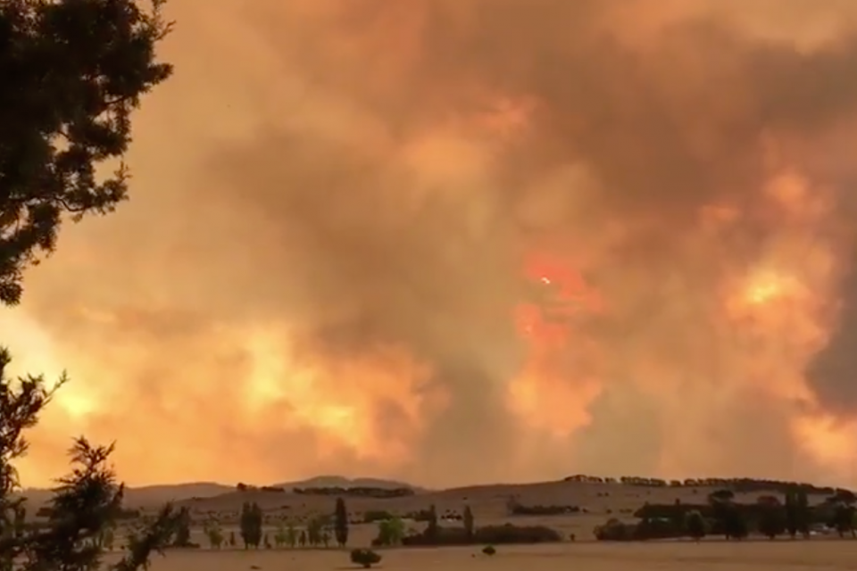
The fire continues to burn freely within the Tallaganda Forest area and although it’s not moving quickly, the nature of the terrain and the intensity of the blaze makes it all but impossible to contain, as resources are directed towards protecting properties.
There will be some relief tonight from strong winds, but residents in the Wallaces Gap and Reidsdale areas should have plans in place. Action probably won’t be required until tomorrow morning, but RFS is advising locals to maintain vigilance throughout the night.
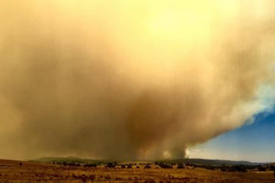
While conditions are cooler and that’s bringing respite to the fire grounds, there has been precious little rain and the Bureau of Meteorology says winds are likely to pick up again tomorrow. However, the drop in temperatures also means that running fires across grasslands are easier to control.
Mr Marks says that the fire as a whole remains uncontrolled, although strategies are in place to bring it to heel if the weather co-operates.
Students at Braidwood Central School, St Bede’s Braidwood, the Braidwood pre-school and Captains Flat are advised that schools have been closed tomorrow.
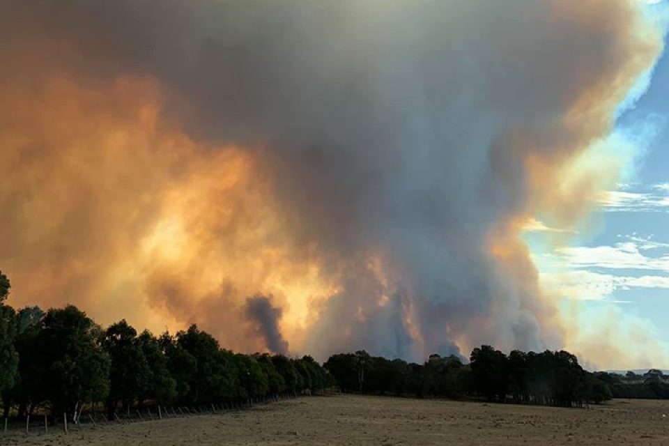
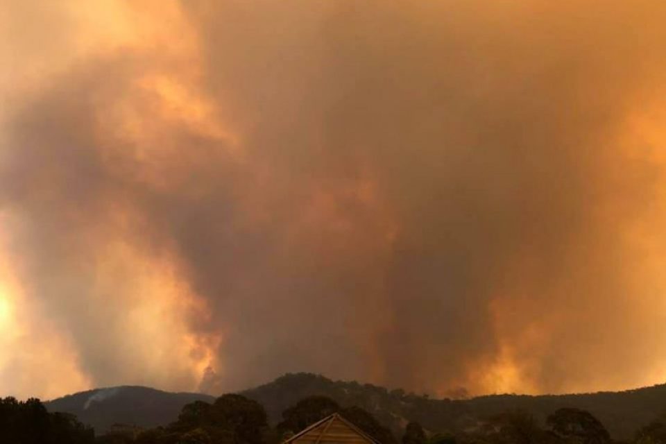
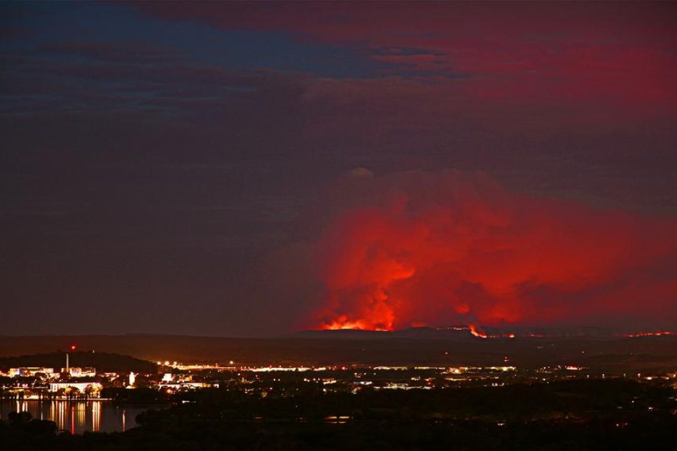
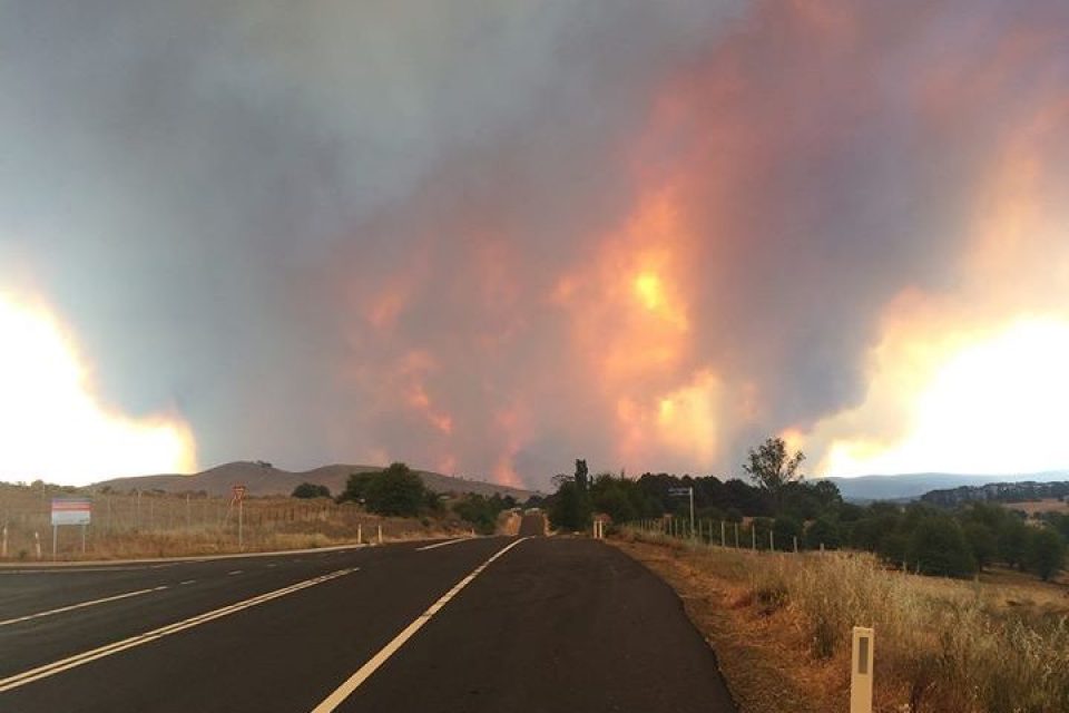
The Currowan State Forest fire has been upgraded to emergency level and people in the Mongarlowe area should be making plans about how they will respond. The blaze is spreading quickly spreading east and residents in Durras, Depot Beach, Pebbly Beach, Bawley Point areas should leave now and head towards Batemans Bay or Ulladulla.
Conditions have eased slightly in what remains a very worrying fire situation around Braidwood. Strong winds are expected again tomorrow and there's also a growing threat around the Currowan fire, which is becoming a real threat for people around Durras, Pebbly Beach, Depot Beach and Bawley Point.Latest updates: http://ow.ly/PSnu50xoznH
Posted by About Regional on Sunday, December 1, 2019
Update 4:50 pm, Sunday 1 December
The focus in the Palerang Black Range fire has turned to Majors Creek and residents who do not have a fire plan or are unprepared are being asked to leave.
The main areas of concern at this stage are Majors Creek, Jembaicumbene and Bendoura, where residents should be ready for potential impact. Region Media is receiving reports that the National Theatre in Braidwood is now filling with people who have taken the decision to leave the area.
An initial spot fire around Jembaicumbene Creek has been contained, but new ones are emerging east of Cooma Rd, just south of the Faringdon Rd intersection. The fire is now also impacting the Sandholes Rd and Jinglemoney.
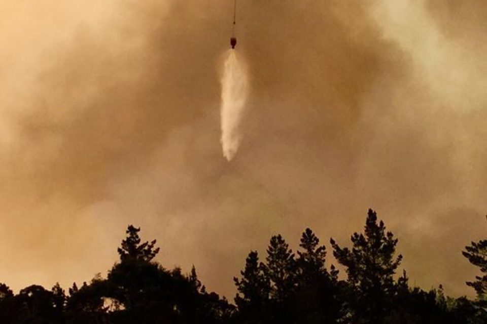
RFS has been using a DC10 loaded with fire retardant throughout the afternoon aimed at protecting communications assets.
Students at Braidwood Central School, St Bede’s Braidwood, the Braidwood pre-school and Captains Flat School are advised that schools have been closed tomorrow.
On the second fire front impacting the south-east, the Currowan State Forest fire has been upgraded to emergency level. People in the Mongarlowe area should be looking to their fire preparations and making plans about how they will respond.
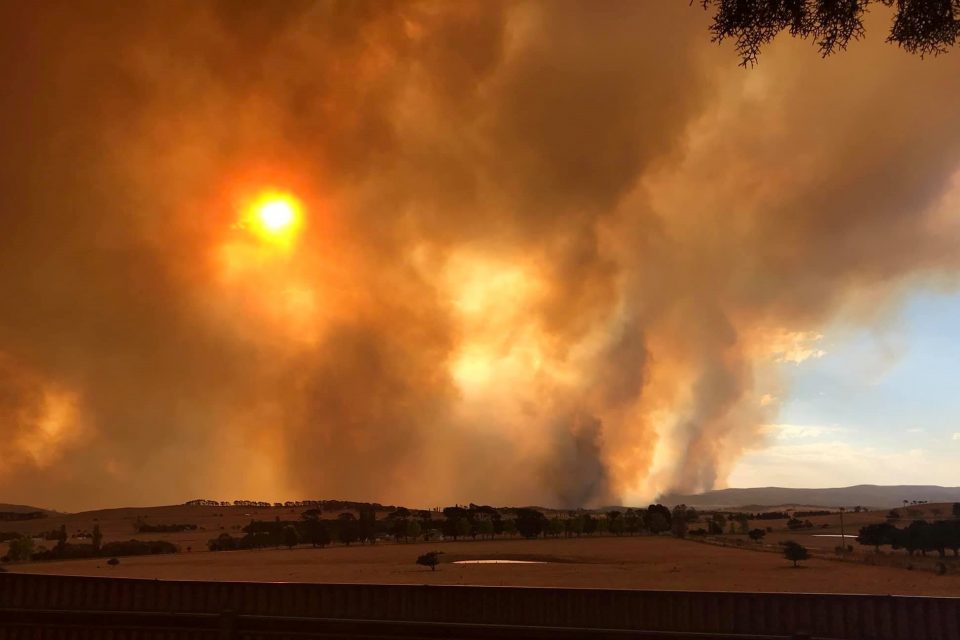
The fire has burnt more than 7000 hectares and is spreading quickly spreading east and covering the coast in smoke. Residents in Durras, Depot Beach, Pebbly Beach, Bawley Point areas should leave now and head towards Batemans Bay or Ulladulla.
The BOM says that at the moment westerly winds are around 30 to 40km per hour, gusting to 50 to 60kms. They are likely to continue into the early evening and stay quite strong overnight but will pick up again tomorrow at same strength.
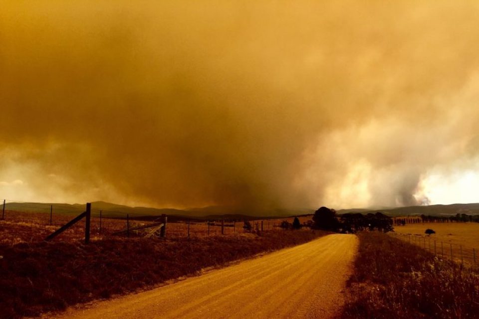
There has been no meaningful rain since 1 ml was measured at Moruya this morning, although the BOM says that the front moving through this evening may bring some chance of rain to the South East tomorrow morning.
Temperatures on the fire ground are at 15 to 16 degrees, and they’re expected to drop further behind the cool front tomorrow. While relative humidity is improving slightly, the BOM expects it to be very dry again by late tomorrow afternoon.
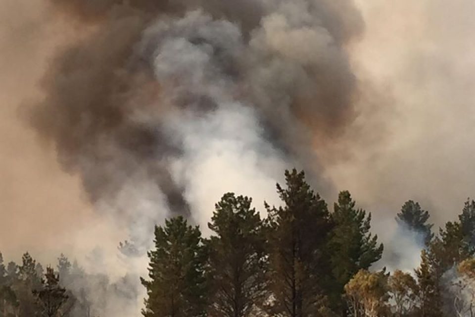
VLAT drop on Gillamatong around 3:45 pm today (Sunday, 1 December). Thank you to Neil White and Braidwood Bugle for sharing the video.
Posted by Breaking247 on Saturday, November 30, 2019
Update – 2:20 pm, Sunday 1 December
As wind picks up this afternoon, fire activity continues to cause concern across the Braidwood district. The information below on areas of concern remains current.
A bush fire is also burning in the Currowan State Forest, has burnt more than 6,900 hectares and is being controlled the RFS says. The fire is quickly spreading east and covering the coast in smoke.
Meanwhile in Canberra, a small grass fire was also extinguished in Deakin.
Update – 1:45 pm, Sunday 1 December
The North Black Range/Palerang fire west of Braidwood has returned to a ‘watch and act’ level after an increase in wind and fire activity.
Residents in Jembaicumbene, Bendoura and Majors Creek are being told to leave now if leaving is a part of their fire plan, or if they are unprepared. It is safe to head towards Araluen at this stage.
If you are in Bombay or Little Bombay, continue to monitor conditions.
There has also been an increase in fire activity around Cooma Road.
The fire also continues to burn around Butmaroo, Forbes Creek, Ralpine Valley, and Mount Palerang.
The Kings Highway remains open, and more information can be found at www.livetraffic.com
Update – 9:30 am, Sunday 1 December
The official start to summer has brought some good news for those affected by the North Black Range fire, however, that has been tainted by the loss of a house overnight at Carwoola, just east of Queanbeyan.
The house at 66 Walga Close reignited overnight after firefighters from Queanbeyan Fire and Rescue and the Carwoola Rural Fire Brigade had initially responded just after 5:30 pm on Saturday (30 November).
“At 12:30 am this morning (Sunday), the structure at 66 Walga Close suffered a reignition from the fire earlier this afternoon and is now a total loss,” the Carwoola Rural Fire Brigade said via Facebook.
“Our thanks once again to everyone from all agencies and neighbours who turned out this early in the morning for such a sad result.”

The house at Carwoola reignited from a fire earlier on Saturday afternoon and is now a total loss. Photo: Carwoola Rural Fire Brigade.
The NSW Rural Fire Service advised at 8:00 am on Sunday (1 December) that fire activity had decreased across the fire ground of the North Black Range fire.
However, NSW RFS spokesman James Morris said a wind change is forecast to cross the fire ground over the coming hours.
“This will see the fire move in a more westerly direction,” he said.
The BOM has also issued a severe weather warning for damaging winds, with a cold front bringing more gusty and windy conditions over the area during the day. Conditions are forecast to ease later this afternoon.
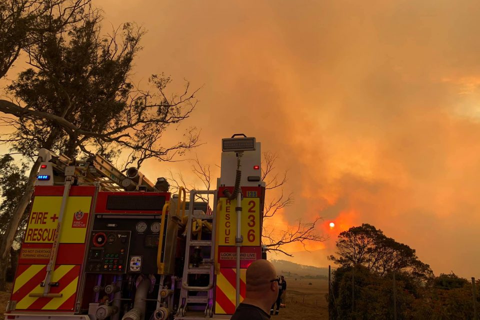
Overnight, firefighters took advantage of easing conditions to conduct backburning operations and strengthen containment lines.
“People may see an increase in fire activity and smoke while these operations are completed,” Mr Morris said.
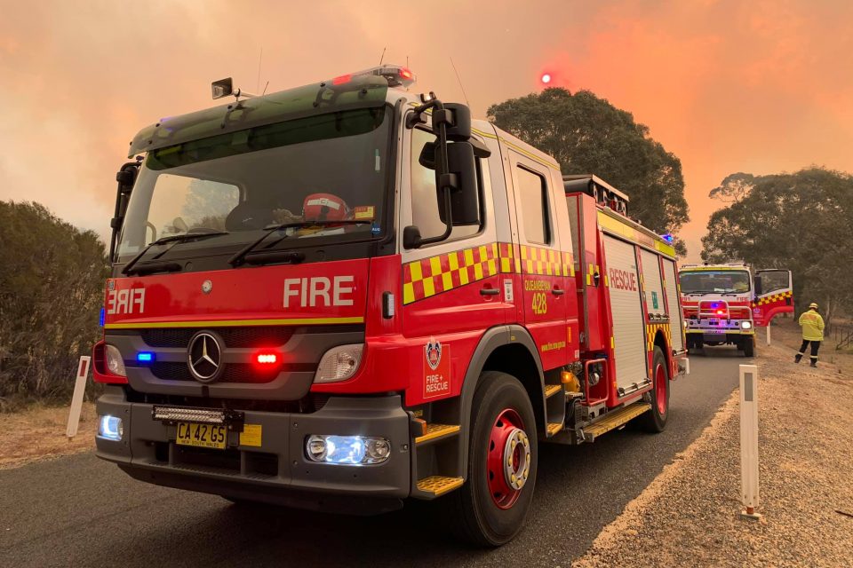
Firefighters, supported by aircraft through the day, will continue working to slow the spread of the fire and protect properties in the area.

The North Black Range fire is still burning in the Tallaganda National Park, and to the west and south-west of Braidwood.
To the south-east of the fire ground, fire activity increased earlier overnight around Burkes Crossing and Burkes Hill near the Shoalhaven River.
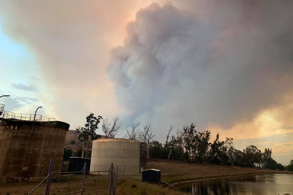
To the north-east of the fire ground, fire activity increased around Columbo Creek, while to the north, fire activity also increased around Tally Ho Road and Little Bombay.
The fire is also burning in the areas of the Butmaroo, Forbes Creek, Ralpine Valley, and Mount Palerang.
The Kings Highway remains open.
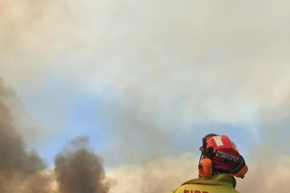
A number of ACT Rural Fire Service crews have deployed to the North Black Range fire.
An ACT Emergency Services spokesperson said the firefighters have been actively involved in fire suppression and property protection and will continue to support NSW Rural Fire Service as needed.
“Thank you to the 80 firefighters and additional Incident Management Officers who have been deployed over the past days and nights, along with teams from the ACT State Emergency Service, who have helped in the transporting of vehicles and crews,” the spokesperson said.
“We wish our crews safe travels and thank them for their ongoing support. Thank you also to the families of all our volunteers for supporting them to do this important work.”
The North Black Range fire is one of 15 separate fires burning in south-east NSW.
The Currowan fire continues to burn in the Bimberamala National Park to the west of the Clyde River.
Fire behaviour increased during the Saturday afternoon and the evening.
“The fire has broken containment at Clyde Ridge Road. Crews are actively working on containment, but it is possible that properties in this area may be impacted by fire within the next few days,” the NSW RFS says.
Update – 6:30 pm, Saturday 30 November
The North Black Range, Palerang fire remains at a ‘watch and act’ level, however there have been increases in fire activity around Burkes Crossing and Burkes Hill near the Shoalhaven River in the south-east.
North-east of the fireground, there is increased fire activity around Columbo Creek while Tally Ho Road, Little Bombay is also experiencing an increase in activity.
Conditions have eased slightly on the North Black Range Fire east of Canberra. An easterly wind change is expected across the fireground over coming hours. Crews will look to conduct back burns this evening with more favourable weather forecast. #NSWRFS pic.twitter.com/vxNWgS6HEe
— NSW RFS (@NSWRFS) November 30, 2019
People in Columbo Creek, Burkes Crossing, Burkes Hills, Little Bombay, and Gillamatong are being told to put their fire survival plan into action and continue to monitor conditions.
The fire is expected to move in a more westerly direction in the coming hours with a forecasted wind change.
Aircraft is supporting firefighters who are continuing their efforts to protect property and slow the spread of the fire, while the RFS is hoping to take advantage of easing conditions overnight to conduct backburning operations and strengthen containment lines.
Update – 5:30 pm, Saturday 30 November
While there has been an increase in fire activity of the North Black Range fire to the west and south-west of Braidwood, it remains at ‘watch and act’ level.
NSW Rural Fire Service spokesman James Morris said the fire is burning in a “convergence zone” where prevailing westerly winds are combining with easterly winds on the fire ground.
The fire has burned more than 15,600 hectares and is being controlled by firefighters who continue working to slow the spread of the fire and protect properties.
“Fire activity has increased on both the south-east and north-east edges of the fire ground,” Mr Morris said. “If you are in the areas of Columbo Creek, Burkes Crossing, Burkes Hills or Gillamatong, please continue to monitor conditions and take advice from firefighters.
“There is currently no threat to homes,” Mr Morris said. “We will continue to monitor the situation which is erratic and variable.”
“There has also been an increase in fire activity in Gillamatong near Sand Holes Road.
“The fire has crossed Cooma Road near Burkes Hill and is moving towards Jembaicumbene.
“Fire activity has increased as strong winds are impacting the fire ground,” he said.
The Kings Highway remains open. The only road that remains closed is Cooma Road between Araluen Road and the Farringdon Shed.
The Bureau of Meteorology also advises there is the chance of damaging winds, thunderstorms and squally showers for the Southern Tablelands and Snowy Mountains districts. Locations which may be affected include Braidwood, Goulburn, Taralga, Araluen and Nerriga.
Warnings remain in place for people in the areas of Jembaicumbene, Burkes Hills, Gillamatong, Braidwood, Bombay, Little Bombay, Bendoura, Butmaroo, Forbes Creek and Hoskinstown.
The NSW RFS advice is to monitor conditions and put your bush fire survival plan into action. Know what you will do if the fire threatens.
A second fire, the ‘Currowan fire’, is also burning in the Currowan State Forest. The fire has burnt more than 4,790 hectares and is being controlled.
The fire continues to burn in the remote area of the Currowan State Forest, Shallow Crossing State Forest and Bimberamala National Park to the west of the Clyde River.
Firefighters are taking advantage of more mild conditions to strengthen containment lines.
Residents in Mongarlowe, Northangera, Currowan and surrounding areas will continue to experience an increase in smoke haze due to prevailing winds.
Update – 3:00 pm, Saturday 30 November:
The fire has crossed Cooma Road near Burkes Hill and is moving towards Jembaicumbene as strong winds are impacting the fire ground and increasing fire activity, including in Gillamatong near Sand Holes Road.
Those who are in Jembaicumbene, Burkes Hills and Gillamatong are being urged to put their fire survival plan into action and monitor conditions.
The Kings Highway remains open.
Update – 1:30 pm, Saturday 30 November:
There has been an increase in fire activity near Sand Holes Road while the North Black Range, Palerang fire has been upgraded from Advice to Watch and Act.
According to the RFS, fires are also burning in Butmaroo, Forbes Creek, Ralpine Valley, and Mount Palerang as firefighters continue working to slow the spread of the fire and establish containment lines.
Those who are in the areas north of Cooma Road and South of Bombay Road should monitor conditions the RFS says, as should people in Braidwood, Bombay, Little Bombay, Bendoura, and Butmaroo.
The Kings Highway remains open.
The fire is now over 19,000 hectares in size and is being controlled.
Update – 12:30 pm, Saturday 30 November: The Kings Highway has reopened in both directions. NSW Rural Fire Service spokesman James Morris told Region Media the Highway reopened in the last 30 minutes.
“The Highway has reopened for the moment but we’ll continue to monitor the situation,” he said.
The only road that remains closed is Cooma Road between Araluen Road and the Farringdon Shed.
There have also been reports of light rain falling in the fire ground, however, Mr Morris said this is having little effect on the fire fighting efforts.
“Reports are that there is blue sky over the area now, so anything that may have fallen wouldn’t have made a scrap of difference.”
The NSW Rural Fire Service website is reporting that conditions continue to ease today.
Winds today are likely to be variable 10-30km/h.
Firefighters continue working to slow the spread of the fire and establish containment lines.
There are also reports of property losses and owners staying to protect animals and properties. We will update with a separate story on that as soon as possible.
Update – 10:30 am, Saturday 30 November: The North Black Range fire has been downgraded to ‘advice’ level.
The NSW Rural Fire Service website says conditions have eased this morning. Winds are likely to be variable between 10-30km/h.
Firefighters continue working to slow the spread of the fire and establish containment lines.
The Kings Highway remains closed between Mayfield Road and Batemans Bay.
The fire continues to burn in the Tallaganda National Park, Bombay and Little Bombay areas.
Update – 9:00 am, Saturday 30 November: The North Black Range Palerang fire continues to move in a northerly direction today (Saturday, 30 November) as fire crews from throughout the region battle to establish containment lines ahead of the fire front.
A southerly change overnight effectively saved the town of Braidwood from the approaching fire, which was reported as being close to the town outskirts late last night (Friday, 29 November).
Fire crews from the NSW Rural Fire Service are sending aircraft up to properly survey the North Black Range Palerang fire. A southerly change overnight has helped save the town of Braidwood, however the fire continues to move in a northerly direction towards the Kings Highway at Warri. The highway remains closed. Winds are likely to become westerly, which will again blow the fire back towards Braidwood, where fire crews have established containment lines.Follow rolling coverage: http://ow.ly/MTsk50xntsx
Posted by The RiotACT on Friday, November 29, 2019
“The latest is that we are sending aircraft up to give us a good idea of exactly where the fire is burning,” NSW Rural Fire Service spokesman James Morris told Region Media.
“Today will see strong and variable winds of about 30 km/h across the fire-ground, which may cause erratic fire behaviour.
“Firefighters will be supported by aircraft and heavy machinery to slow the spread of the fire and to construct and consolidate containment lines.”
The fire, which has now burnt more than 19,000 hectares, is moving in a more northerly direction towards the Kings Highway near Warri.
The Kings Highway remains closed between Mayfield Road near Warri to the west of Braidwood and Batemans Bay. The town of Braidwood is not accessible in any direction.
“The forecast is for some fairly strong westerly winds which could continue to push the fire in an easterly direction,” said Mr Morris.
“The main thing is that spot fires and embers are being blown well ahead of the fire similar to what we saw yesterday. The fire has a good chance of running again today, given the right conditions.”
Mr Morris also said property losses are minimal at this stage.
“We believe there has been a couple of sheds that may have been damaged or destroyed, but crews haven’t reported any homes as being damaged at this stage, but that will be something we continue to work on during the day,” he said.
The current situation from the NSW RFS is that the fire is being controlled and is still burning in the Tallaganda National Park, Bombay and Little Bombay areas.
The fire is also burning in the areas of the Butmaroo, Forbes Creek, Ralpine Valley, and Mount Palerang.
The fire burnt in an easterly direction through Friday afternoon towards Braidwood.