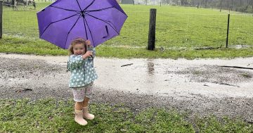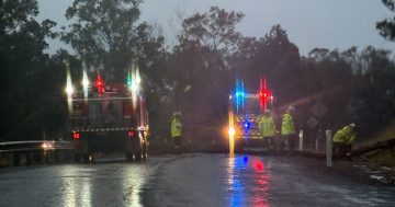
More rain is predicted for the South Coast. Photo: Kim Treasure.
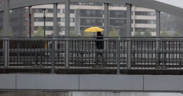
Just when we were thinking of packing the brolly away, it’s time to pull it out again.
Weatherzone meteorologist Maryam Al-Ansari said the South Coast and Illawarra regions were set to be hit by more rain and wind over the next 72 hours from Wednesday (5 June).
“The models are not showing it as severe as this past weekend, but it does look like it’s going to split into a low pressure system,” Ms Al-Ansari said.
“South of Sydney is going to have the brute force of this particular system.
“There’s going to be some areas which could receive really, really heavy rainfall in that overnight period between Wednesday and Thursday.”
Falls around 100 mm may be recorded near the Shoalhaven region and coastal areas further south.
“We have a trough which is currently over eastern South Australia and western NSW, and it is recycling the moisture that we had over the weekend.
“That system’s going to reach the coast late on Wednesday and going into Thursday,” she said.
“As it does, it’s going to fit into another low pressure system.”
According to Weatherzone, Wednesday will see rainfall focused on the Illawarra, South Coast and Southern Tablelands districts.
Widespread falls of 20 to 40 mm are forecast, while isolated areas of the South Coast could see up to 80 mm over Wednesday and Thursday.
Some models suggest isolated areas between Sydney and Mallacoota could receive between 80 and 150 mm on Thursday, according to Weatherzone.
However, there is uncertainty about where the surface low will develop and, as a result, where the heaviest rainfalls will land.
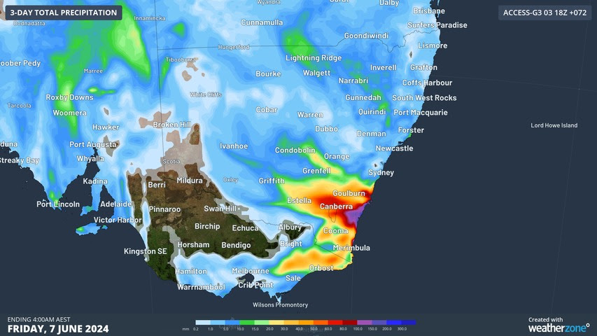
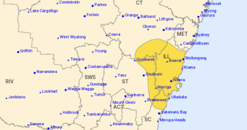
Gauges may record up to 100 mm on the coast over the coming days. Image: Weatherzone.
Ms Al-Ansari said “pretty good wind gusts” were also being forecast for Thursday and Friday.
“Most of the southern coast will receive some form of wind gusts at up to 60 km/h, particularly on that Friday,” she said.
“That is associated with the trough developing into a low pressure [system].
“Given the spin of the system is going to be pushing it off the coast, there will be less rain by Friday.”
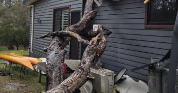
The new system follows recent rainfall that hit southeastern NSW and the ACT last week.
“It’s just we’ve had these two troughs which were very spatially and temporally close together,” Ms Al-Ansari said.
“Moisture from this weekend’s event hasn’t really left yet or been rained down. It’s still lingering in the air.
“This new system that’s coming through is recycling that moisture.
“That is why we have the potential to see two severe weather events occurring along the coastline, so close together.”
It’s not all bad news – Ms Al-Ansari said the forecast is expected to clear somewhat going into the long weekend.
“Unfortunately, there is a chance that it will stick around for the weekend, particularly on Saturday,” she said.
“We can’t give the all-clear at the moment.
“The models are showing it will be well off the coast by Sunday, however.”
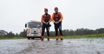
People can download the Hazards Near Me app to stay updated with the latest flood and storm warnings.
If you need assistance from the NSW SES, call 132 500; if the situation is life-threatening, call triple zero. Warnings will be issued by the Bureau of Meteorology as needed.