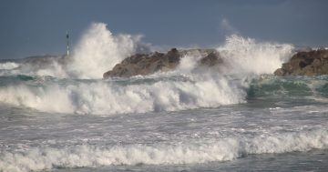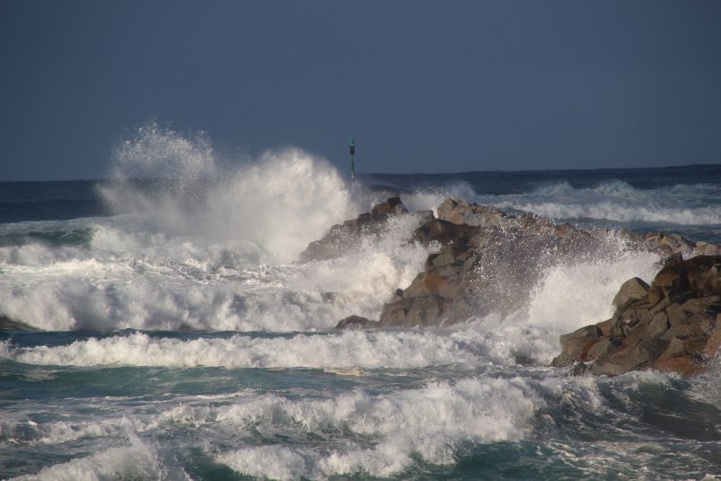
Wild seas at the Moruya River breakwater on 16 July. Photo: Alex Rea.
The recently battered east coast is bracing for more big swells ahead of another low-pressure system that will form over the weekend and into next week.
While meteorologists are definitely forecasting another significant weather system to develop, there are the usual variables associated with where the low-pressure system will form.
Bureau of Meteorology (BOM) meteorologist Alex Majchrowski told Region Media there is the potential for large and powerful waves and more erosion along the NSW coastline but there will be less rainfall than the previous system.
“Most of the impact from this system is expected on Sunday and Monday,” Mr Majchrowski said.
“The rainfall is looking heavier around the mid-north coast of NSW, but we still expect to see showers in the ACT region and along the South Coast.”
He said rainfall in Canberra should be less than 5 to 10 mm for each day on Saturday, Sunday and Monday.
“We will definitely have some kind of coastal trough system that will develop and deepen as a trough moves across the state on Friday and into Saturday. We’re just unsure of exactly where the low will develop at this stage.
“For the NSW South Coast, we are expecting the system to track south but it should be a fair way off the coastline by that stage.
“We won’t see rainfall compared to what we saw previously with 50 to 80 mm of rain totals on each day. It’s more in the 20 mm range and Sunday is looking like the most likely day for that,” he said.
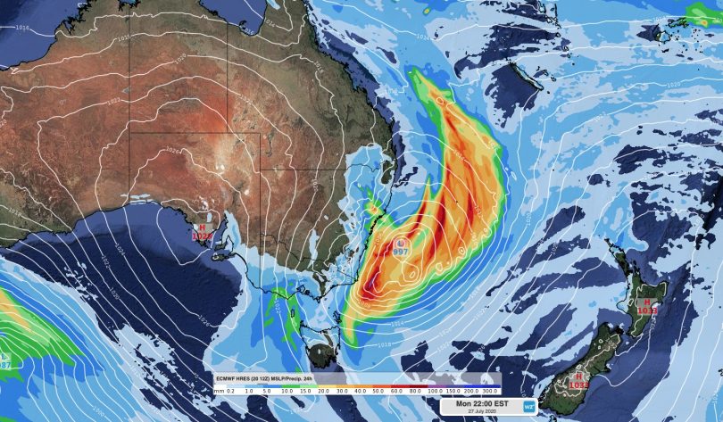
The forecast position of another low-pressure system for Monday 27 July. Image: Weatherzone.
Meteorologist at Weatherzone Ben Domensino said showers and storms will become more widespread during the weekend.
“Our models are struggling to figure out how intense this low will be, where it will form and where it will move, but the general consensus is that we should see the low forming somewhere near the northern NSW coast on Sunday before moving south on Monday and Tuesday.
“If this system becomes intense enough and stays close enough to the coast, we could see heavy rain, damaging winds and damaging surf along the NSW coastline,” Mr Domensino said.
This is less than two weeks after a similar system brought waves of up to 11 metres off the coast of Sydney and the NSW South Coast. The conditions also caused widespread erosion of many beaches, including the coastline between Batemans Bay and Eden.
Wave heights from this new system are estimated to be between 2.5 metres and as high as 6 metres.
The BOM said the current weather patterns are being influenced by warmer than usual ocean temperatures, with these systems developing in the tropical Coral Sea area and forming into low-pressure systems in the Tasman Sea where the water temperature has been cooler at the 14-15 degrees Celsius mark.
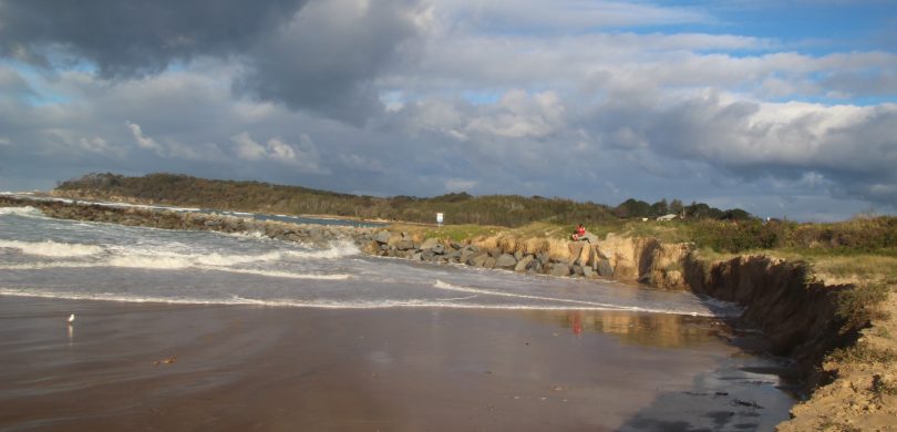
Sand erosion at the Moruya breakwater during the east-coast low less than two weeks ago. Photo: Alex Rea.
There are signs the low-pressure system could cause dangerous weather in eastern Australia at the end of this week and early next week, possibly bringing another round of damaging surf to the already-eroded NSW coast.
“If this low does spin up and produce damaging surf, it could become problematic for parts of the NSW coast that suffered from significant erosion during last week’s run of large swells,” said Mr Domensino.
Weather systems such as these can change regularly, so people should stay up to date with the latest forecasts and warnings for the most accurate information through the BOM or weatherzone.
Original Article published by Michael Weaver on The RiotACT.


