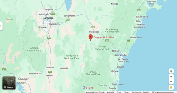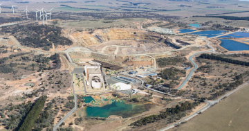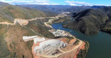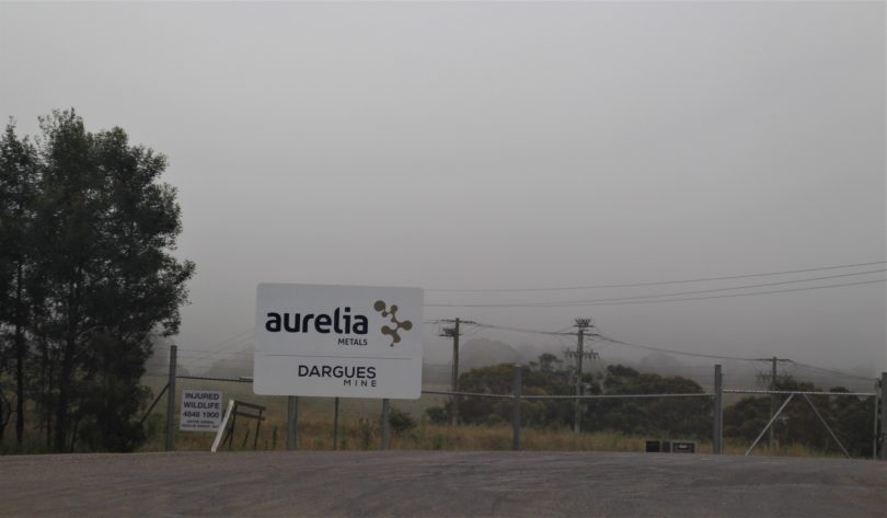
Entrance to the Dargues Gold Mine at Majors Creek. Photo: Alex Rea.
Dargues Gold Mine at Majors Creek has this week been forced to release sediment from the site as one sediment basin was spilling over and another was at capacity.
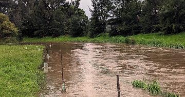
The mine site has recorded more than 250mm of rain in the past 10 days and more than 190mm in the past seven days.
Mine management alerted the community on Tuesday that the company had been working “tirelessly” to manage water during the extreme weather events of the last seven days.
The company advised that all contaminated water systems were performing as designed and the company was regularly inspecting them to ensure competency.
In a statement, Dargues said the company had acted in accordance with the approved Water Management Plan.
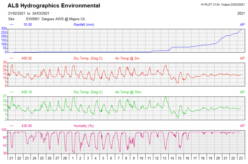
Dargues Mine Site Data to 23 March. Photo: ALS.
It said the 10-day design rainfall depth for sediment basins (110.4 mm) had been exceeded several days ago and, as a result, they were permitted to discharge via designated spillways should the need arise.
The company said that while any sediment basin was overflowing they would continue to operate in accordance with the Water Management Plan and implement the following:
- Continue pumping at full capacity to MWSD01 (if there is sufficient capacity) and to the irrigation fields; and
- Continue to undertake surface water monitoring at SW-1 to SW-6 and the relevant sediment basin.
“We will continue to manage surface water onsite and work to prevent any material downstream impacts during these challenging times,” the statement said.
The mine telephoned downstream residents at 9 pm on Monday to say the sediment dam was about to overflow, saying that the quality of water in it was better than that already flowing down Spring Creek.
Araluen resident Jackie French said she agreed that it wouldn’t make much difference this week, but pointed out they were still recovering from drought and fires and this amount of sediment was not normal.
“The mine site is supposed to be safe for a one in 100 year flood – this isn’t as high yet as January last year, nor anywhere near the floods of the 1970’s and 1980’s I measured here. If the design can’t cope with this, it can’t cope with normal variations, much less climate change,” Ms French said.

Sketch from the 1873 Araluen flood by George Lacy. Photo: Supplied.
“This isn’t a record flood, or not in this area – it’s a normal one, the kind that comes every few decades or more often. The only difference is the sediment level as there’s still so much bare ground,” she added.
“The flood equivalent of an arsonist is an engineer or planner or public servant who ignores history and geography and allows development that can’t cope with the weather events an area has already often experienced.”
An Environmental Protection Authority (EPA) spokesperson said they were aware the stormwater management system at Dargues Gold Mine had reached capacity and was likely to overflow towards Majors Creek, saying the current wet weather event exceeded the design capacity of the stormwater management system.
The EPA confirmed that Dargues Gold Mine advised both the EPA and the community about the imminent discharge.
“Areas where chemicals are stored or used are fully contained and no runoff is permitted,” the spokesperson said.
The EPA continues to monitor the current weather situation and will determine any necessary action.
According to weatherman Roger Hosking, Majors Creek recorded 511mm in March 1978 and 294mm in March 2012.
In nearby Braidwood (which is not as wet as Majors Creek), the highest March 7 day total rainfall in 100 years was 296mm in 1978.
Ms French said the question for council, the Department of Planning and the mine is “what infrastructure changes are they going to put in place now they have seen the current inadequacies?”.


