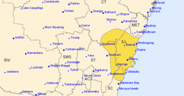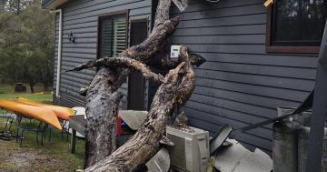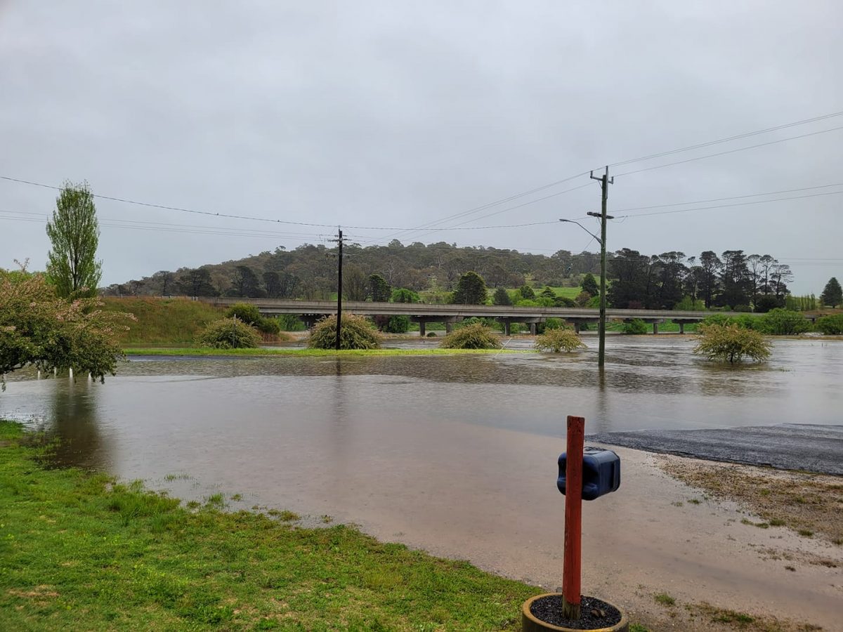
The entrance to Bibbenluke as water levels rise. Photo: Facebook, Melissa Dwire.
A ‘hybrid cyclone’, which has formed off the east coast of Victoria, is being blamed for the heavy rains and flooding that’s smashing southern NSW.
Weatherzone meteorologist Joel Pippard said such cyclones occurred when two low-pressure systems combined. In this case, a cold-core low which passed over southeastern Australia and a warm-core low sitting off the NSW coast.
“As the name suggests, a hybrid cyclone refers to a low-pressure system that has both warm and cold air in its core,” he said.
“This mix of air leads to a mix of energy sources, which can allow hybrid cyclones to intensify quite rapidly. These dynamic systems are well-known sources of severe weather and have caused large tornado outbreaks in the United States.”
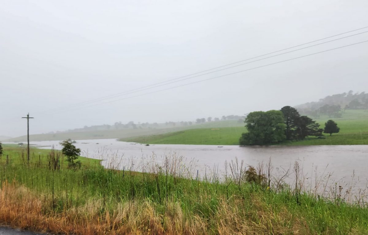
Coolumbooka at 7:30 this morning (25 October). Photo: Facebook, Wendy Rutherford.
He said hybrid cyclones were usually caused when one type of low-pressure system transitioned into another, such as warm to cold core. However, this one was different.
“It is being caused by two already-established systems combining,” Mr Pippard said.
“This will cause the cores to try to balance out each other’s core temperatures, resulting in an unstable and dynamically evolving system.”
The Bureau of Meteorology said some of today’s heaviest rainfall totals had been experienced along the South Coast, as well as Gippsland in Victoria and eastern Tasmania.
This included 113 mm at Moruya and 162 mm at Mount Darragh.
Showers were expected to continue for southern NSW on Wednesday.
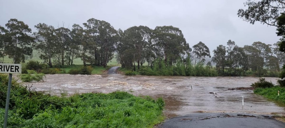
Flooding at Burragate Bridge on the Towamba River at 8:30 this morning. Photo: NSW SES Bega Valley Units Facebook.
Residents of the Bombala Caravan Park have been evacuated as river levels rise.
According to the Bureau of Meteorology, the Bombala River was sitting at 4.76 metres at 9 o’clock this morning and was expected to reach 5.5 metres by this afternoon.
The Snowy Monaro Regional Council said all guests had been relocated to higher ground earlier this morning.
The rest of the town has been placed under a Watch and Act warning, with everyone in the township urged to keep an eye on the conditions and keep out of floodwaters.
The following areas could be impacted:
- Overbank flow may be expected in the southern end of town near Mort Street
- Road closures and short-term isolation could occur for Creewah Road, potentially at several points between Bibbenluke and the Creewah locality
- Maybe Street.
Bombala Library has been closed due to the conditions, while Mahratta Street has been closed with water over the road.
Further north, residents of Wamban and the surrounds were under a Stay Informed classification, with widespread minor flooding expected on the Deua River.
It’s estimated to have peaked at 5.10 metres at about 8 am, but it was expected to stay at the minor flood level of 4.40 metres for the rest of Tuesday (25 October).
The Bega River catchment has been placed under the same warning, with the following areas expected to be impacted by dangerous floodwaters:
- Roads and low-lying areas in Angledale, North Bega and Bega, Jellat Jellat, Kalaru, Rocky Hall, Tarranganda, Tanja, Towamba, Wyndham and Yowrie
- Carp Street at Kisses Lagoon, Auckland Street, East Street and Buckajo Road in Bega.
Heading inland, a Watch and Act order was in place for Cooma after the main street was inundated by flash flooding. Sand bags were available for residents from the Cooma Council depot on Polo Flat Road.
Queanbeyan is also advised to Stay Informed.
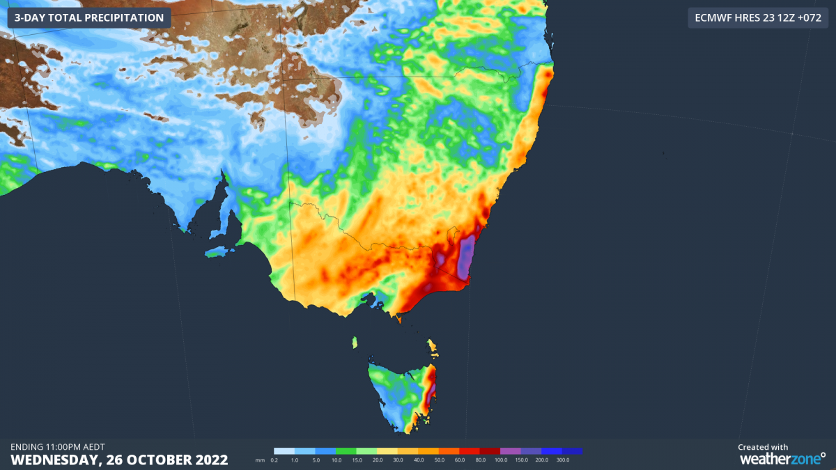
Forecast accumulated rain between Monday and Wednesday this week, according to the ECMWF-HRES model. Photo: Weatherzone.
In life-threatening emergencies, call 000 immediately.
If you require rescue, assistance to evacuate or other emergency help, ring NSW SES on 132 500.
General flood safety advice included:
- Avoid drowning. Stay out of rising water, seek refuge in the highest available place
- Prevent damage to your vehicle. Move it under cover, away from areas likely to flood
- Avoid being swept away. Stay out of fast-flowing creeks and storm drains
- Never drive, ride or walk through flood water. Flood water can be deceptive and dangerous.


