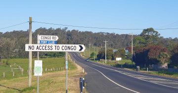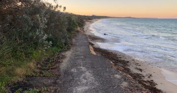
Eurobodalla Shire Council will vote on a potential solution to the Congo Road North closure. Photo: Region.
The end of the years-long closure of a key Eurobodalla road could be coming to an end next week, with shire councillors set to vote on a possible solution.
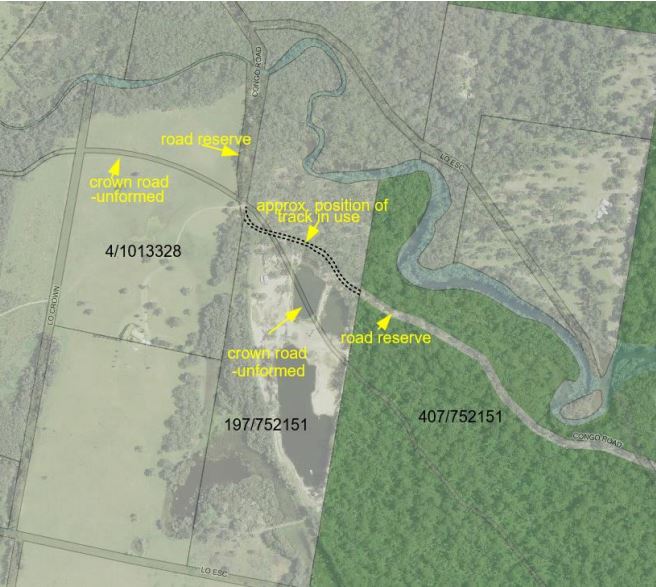
A part of Congo Road North ran through private property and was closed in November 2021 by the landowner, who cited the possibility of injuries to members of the public.
This left one road the public could use for entry and exit from Congo village: Congo Road South.
A proposed solution will be discussed at the next council meeting (Tuesday, 23 May), which involves ownership of a ”paper road” – a road that legally existed but had not been built yet – being transferred from Crown Lands to the council.
The paper road did run through the private property, but is owned by Crown Lands.
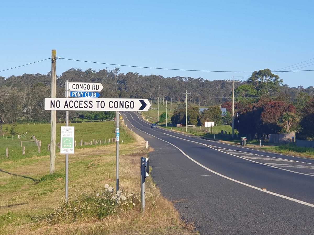
A proposed solution to the Congo Road North closure involves the council taking ownership. Photo: Eurobodalla Shire Council.
If successful, this would let the council eventually reopen the road, with the process expected to take at least six months.
In a statement, a shire spokesperson said the council had been working with Crown Lands since November 2022.
The proposal would see the council, at its next meeting, vote on redefining the boundaries of the paper road.
“Council has received legal advice that confirms it is open to council to use sections 18-21 of the Roads Act 1993 to identify the boundaries of the public road in accordance with the recommendations of Crown Lands,” the spokesperson said.
“Councillors have been briefed on the matter, and the private property owner has been advised directly of the plan.
“The council report notes this solution is the most cost-effective way to reopen a northern access, as well as having the least environmental impact.”
No compensation would be payable for loss or damage, according to the spokesperson.
If the vote is successful, Eurobodalla Shire Council will apply to Crown Lands for the undefined Crown Land to be transferred to the council and survey work carried out to identify the boundaries of the public road over the formed track in use.
The costs of the survey work will be shared between the council and Crown Lands.
There will then be a process of public consultation before the plans are lodged with NSW Land Registry Services for registration.
The road would then be graded and several trees removed before it would be opened for public use.
The move follows years of negotiation and community consultation, including a workshop that saw more than 70 people discuss a variety of potential options.
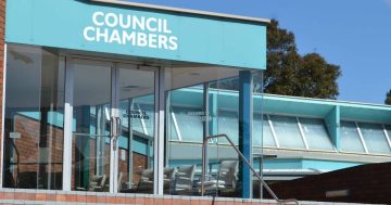
The council’s next meeting will be held on Tuesday from 12:30 pm in its Moruya chambers.
A recording will also be made available 24 to 48 hours after the meeting.
The meeting agenda, including information on the proposed road solution, is available via the council’s website.