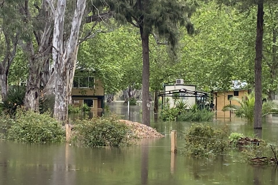
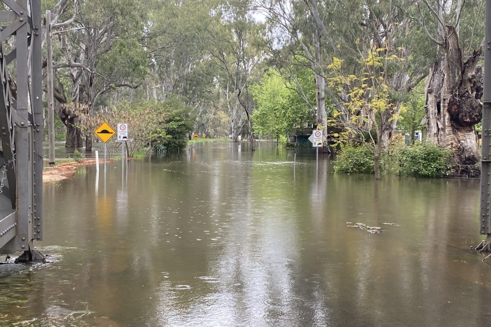
Darlington Point’s Riverside Caravan Park is underwater. Photo: Juanita Rodwell.
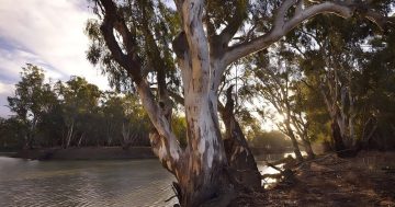
The village of Darlington Point is next in line as floodwaters make their way down the Murrumbidgee River after reaching a peak of eight metres at Narrandera yesterday.
The water remained well short of the predicted major flood level of 8.20 metres at Narrandera and no properties were seriously affected.
The SES is continuing to resupply a number of areas that remain isolated.
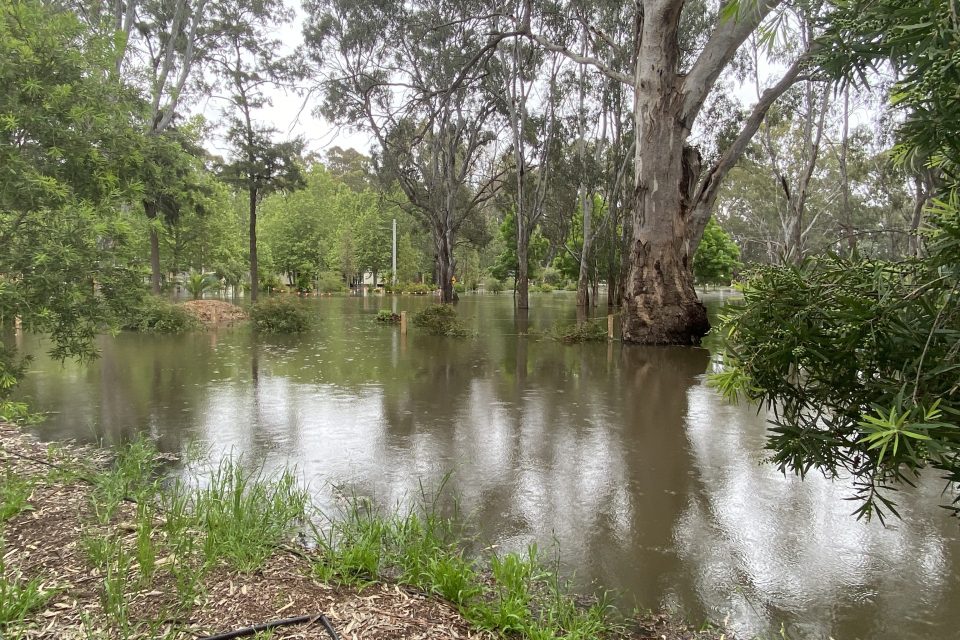
Downstream, Darlington Point is expecting a peak somewhere around the moderate flood level of seven metres on Friday.
The town’s Riverside Caravan Park sits outside the levee and operator Juanita Rodwell said residents had been moved out.
“We had seven workers on the site so they either found alternative accommodation or we’ve relocated them to the footy fields temporarily,” she said.
“About 90 per cent of the park is underwater I reckon.
“Our cabins are yet to be inundated, and based on the current predictions we’re not expecting them to be, but we’ll just have to wait and see what this rain does.”
Darlington Point’s private zoo, Altina Wildlife Park is located on the river to the east of the town and is home to dozens of exotic animals including bison, lions, wolves, giraffes and alligators.
They are no strangers to big rivers, having weathered major flooding in 2012.
Gloria Altin said they were keeping a close eye on the water levels.
“We’ve got our levees up so at the moment they’re holding and we’ve still got a fair way to go,” she said.
“We take a look every day and see what the impacts could be and then we put our preparations in place.
“Basically, we just go day to day.”
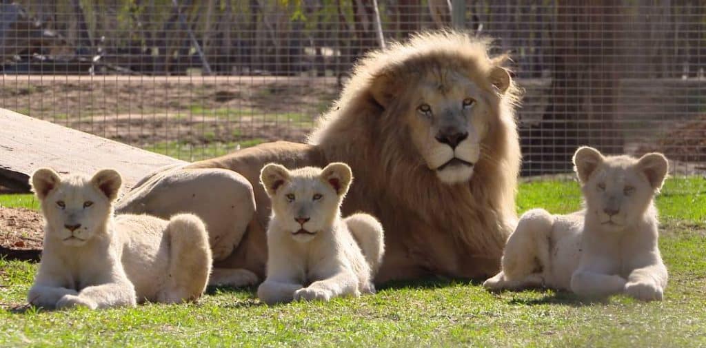
Altina Wildlife Park is home to dozens of exotic animals. Photo: Altina Wildlife Park.
Further downstream, moderate flooding is likely at Carrathool and major flooding is possible at Hay over the weekend as the Murrumbidgee and Lachlan rivers converge.
Water NSW is working with the Bureau of Meteorology, NSW SES and landholders to plan release strategies ahead of further forecasted rain.
Flood operations at Burrinjuck Dam are based on inflow and downstream tributary flow rates with the dam level sitting at 92.8 per cent.
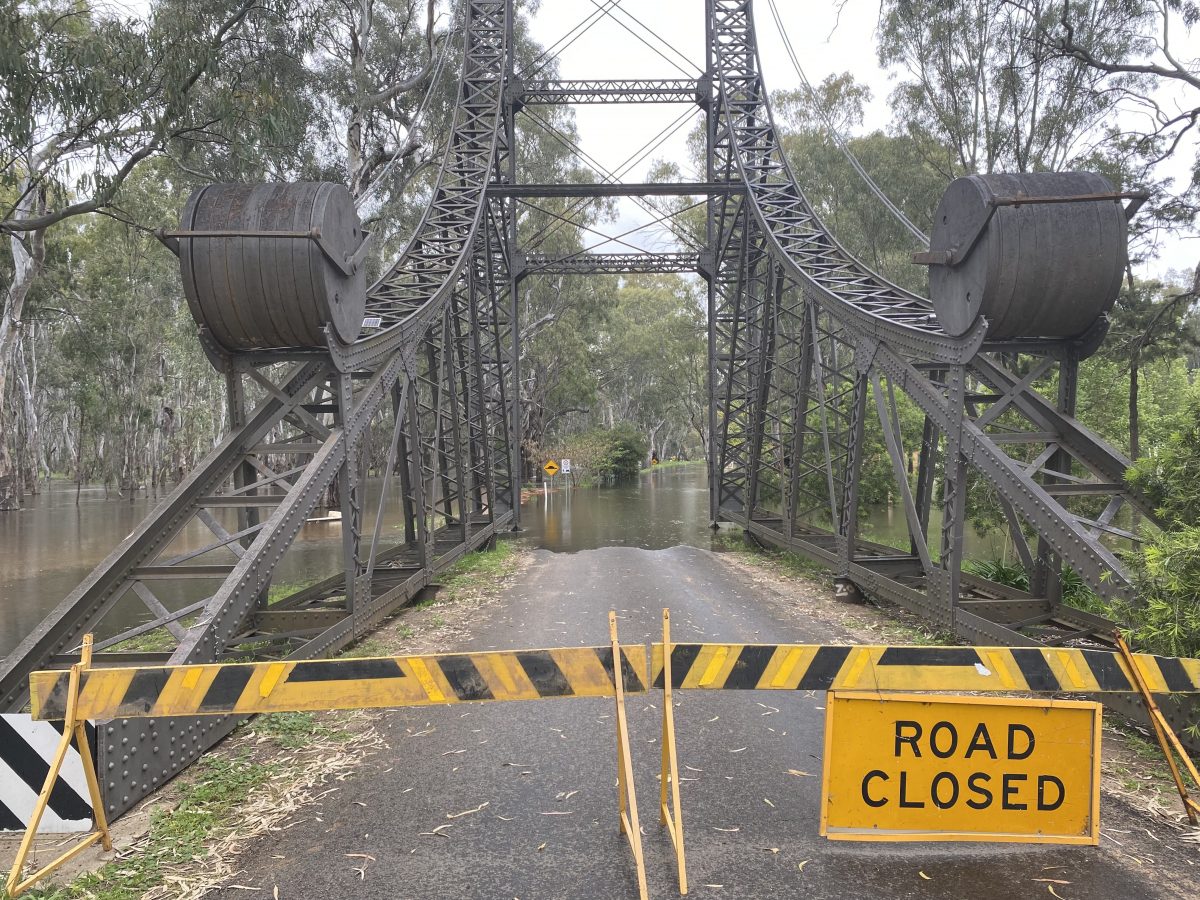
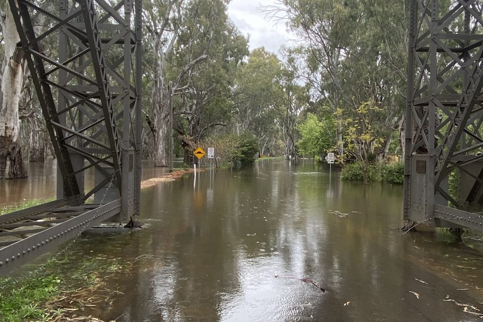
Major roads remain closed in the Riverina with the Sturt Highway closed from Collingullie to Darlington Point and the Newell Highway closed south to Jerilderie.
You can keep up to date with road closures here.
And monitor flood levels here.
For emergency help in floods and storms, call the NSW SES on 132 500.
In life-threatening situations, call triple zero (000) immediately.
Original Article published by Chris Roe on Region Riverina.