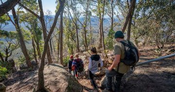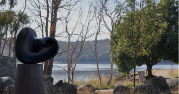
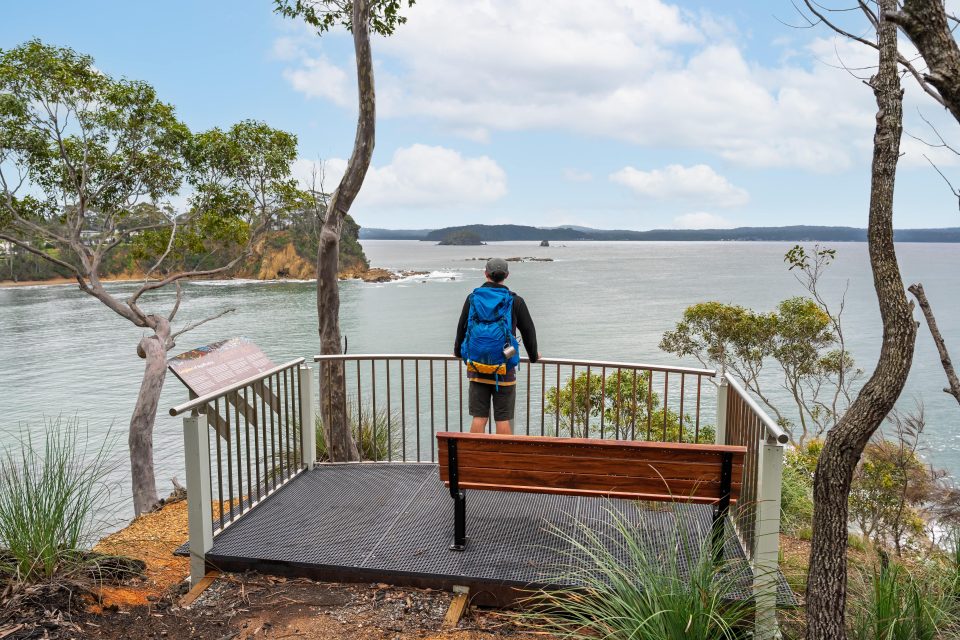
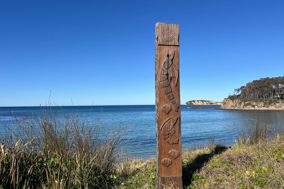
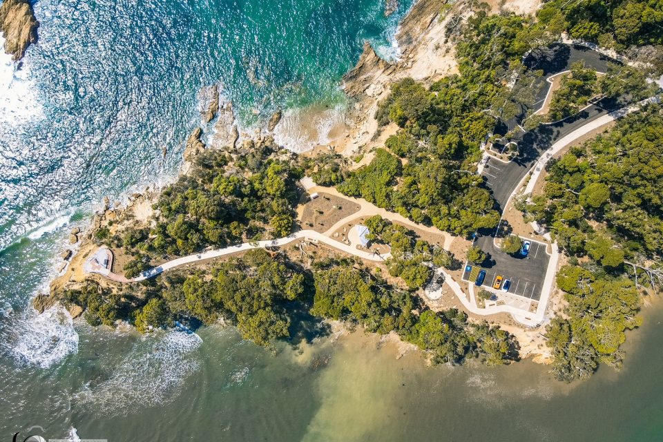
The Munjip Trail runs along a 15 km stretch of coastline. Photo: Jon Harris.
A new interactive map is taking hikers through a new walking track, proving the South Coast has some of the best views around.
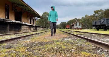
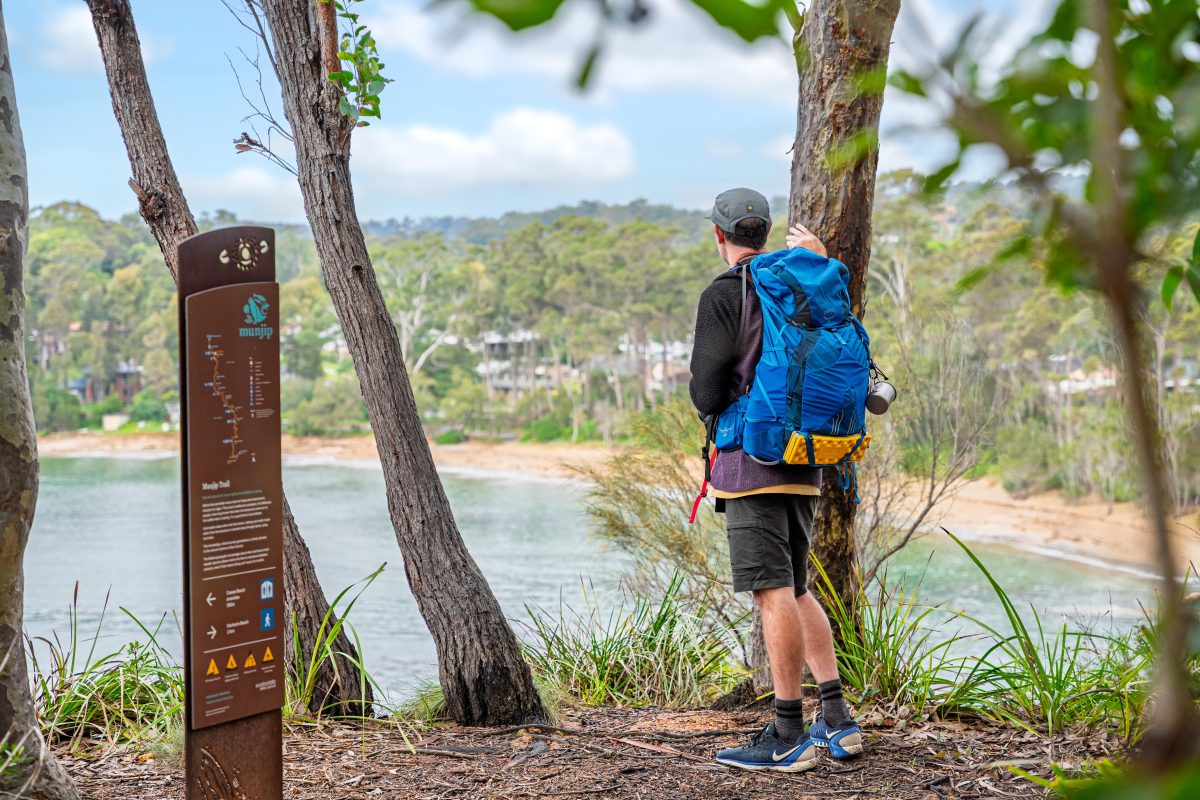
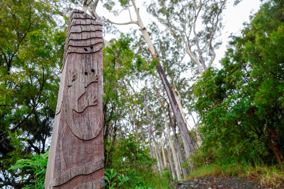
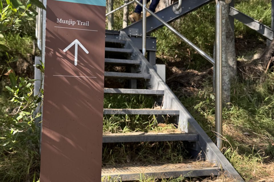
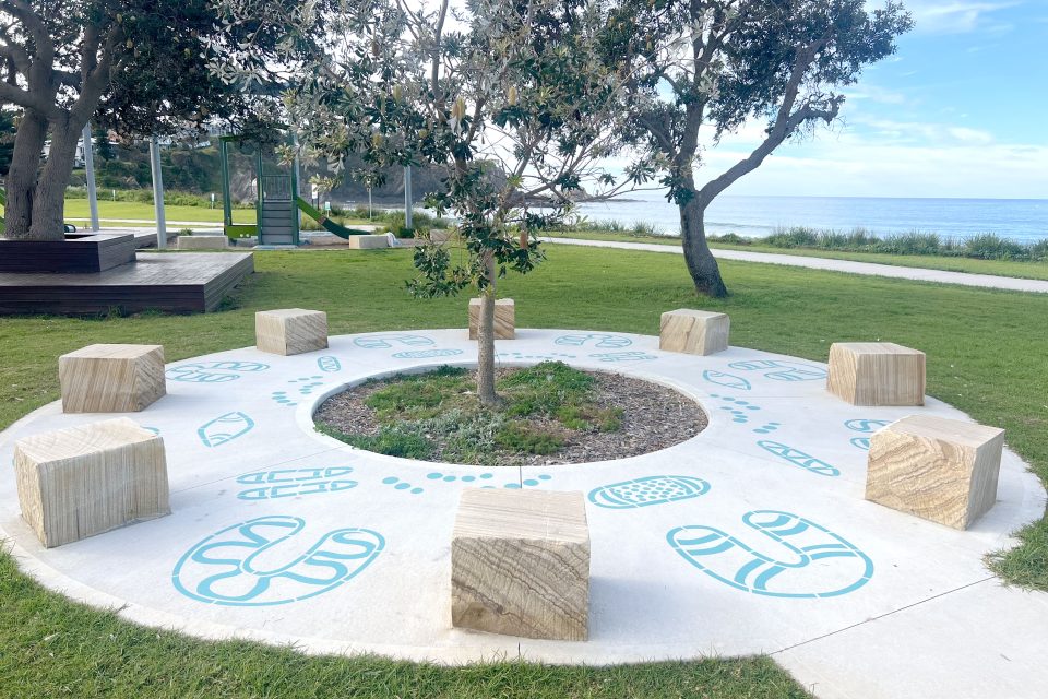
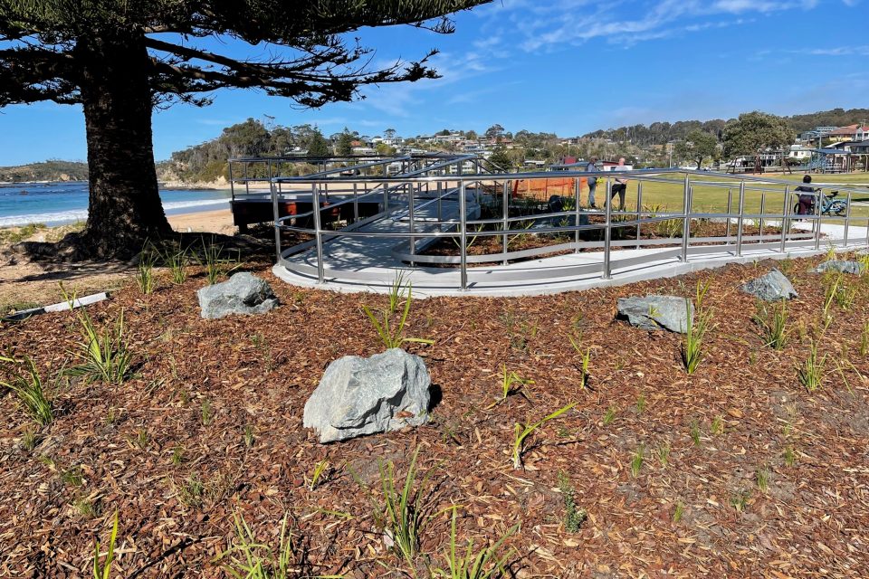
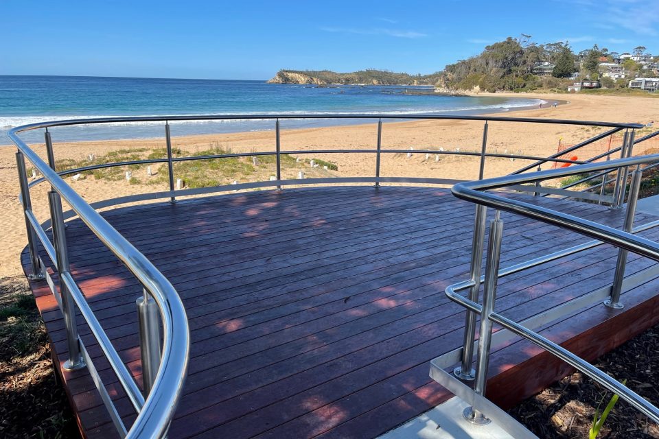
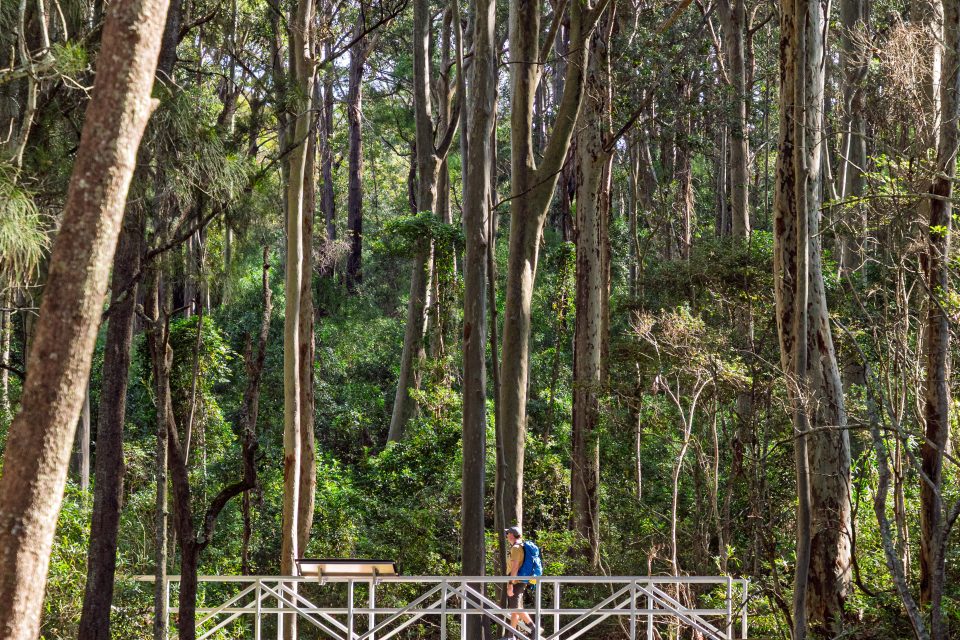
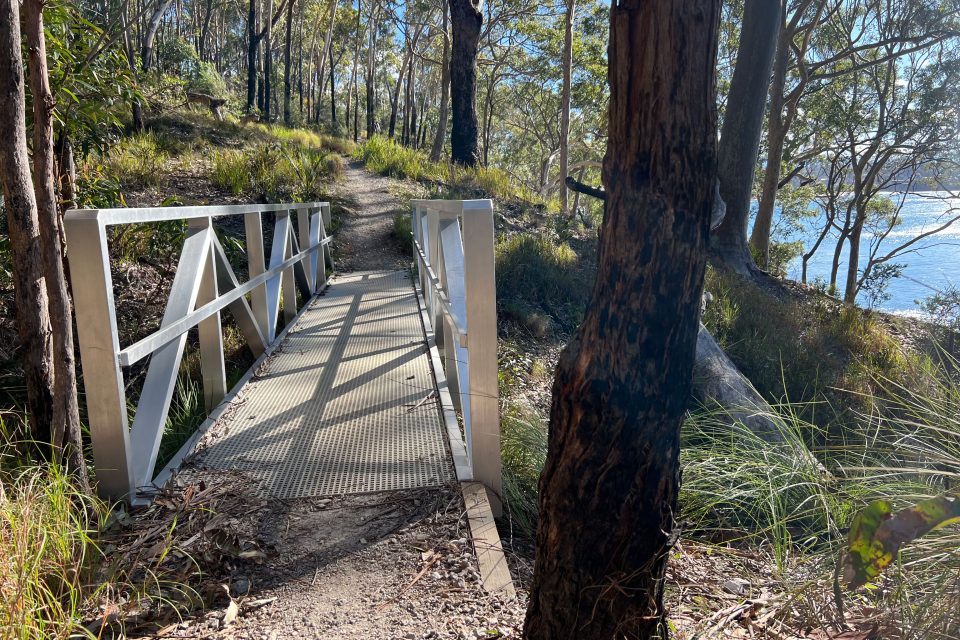
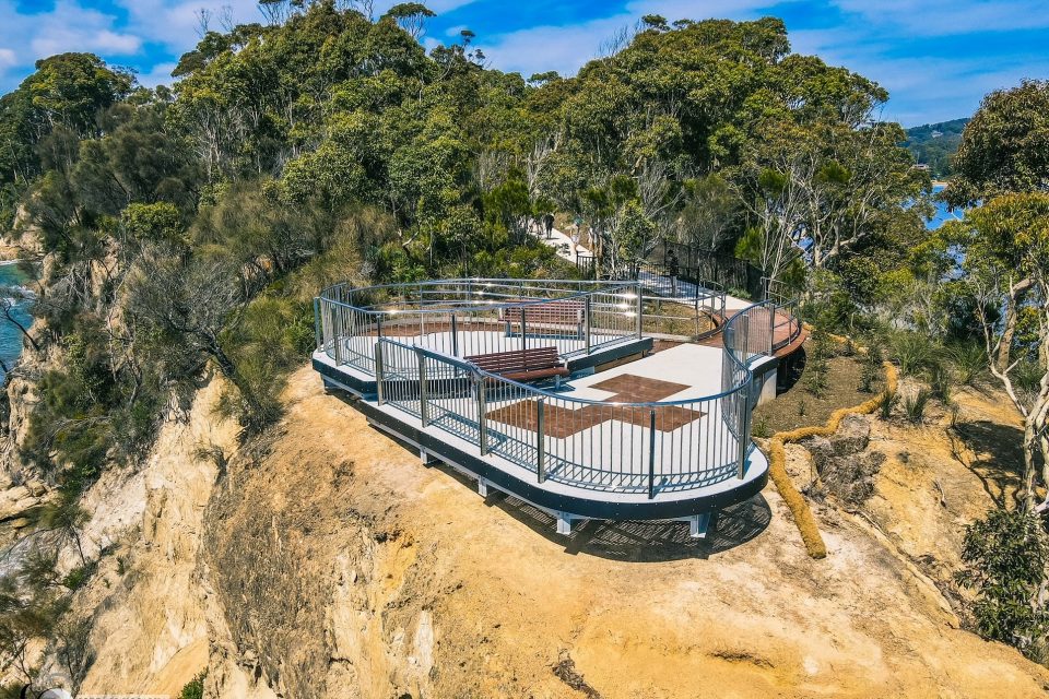
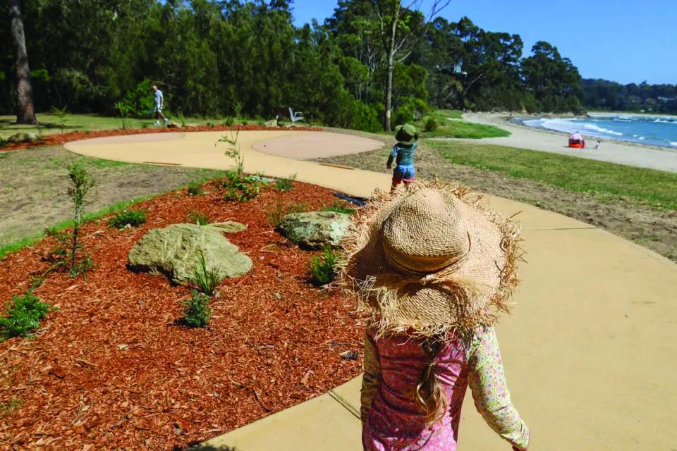
The Munjip Trail is a 15 km walking track that runs between Observation Point and McKenzies Beach on the NSW South Coast.
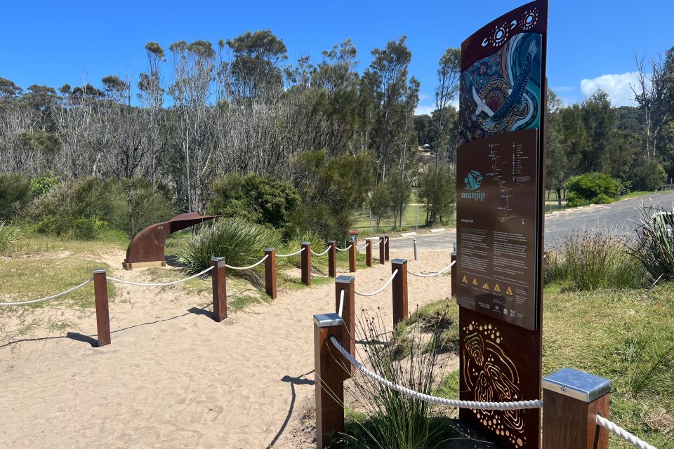
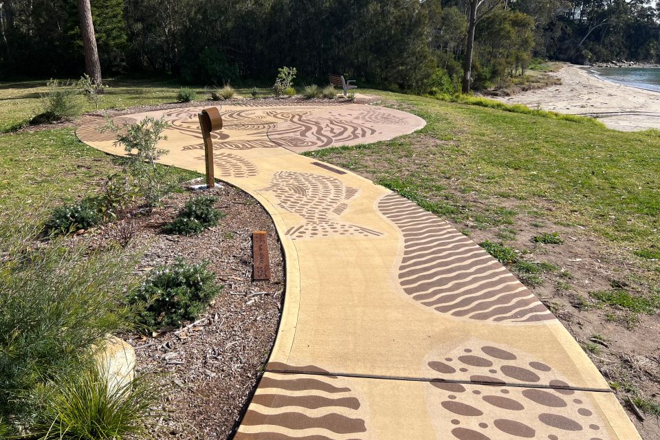
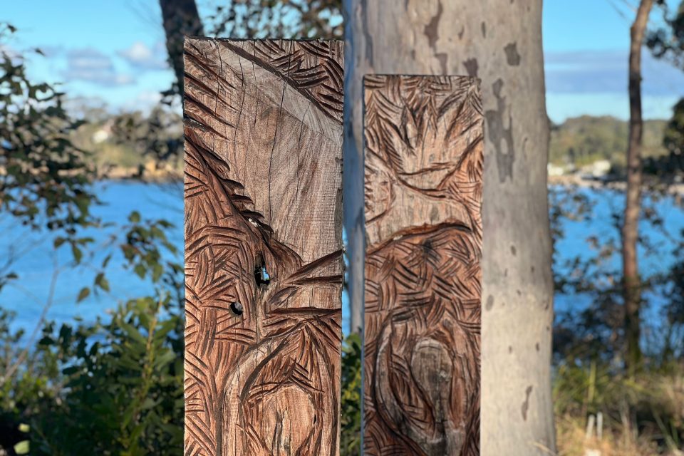
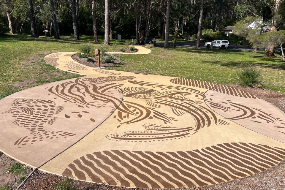
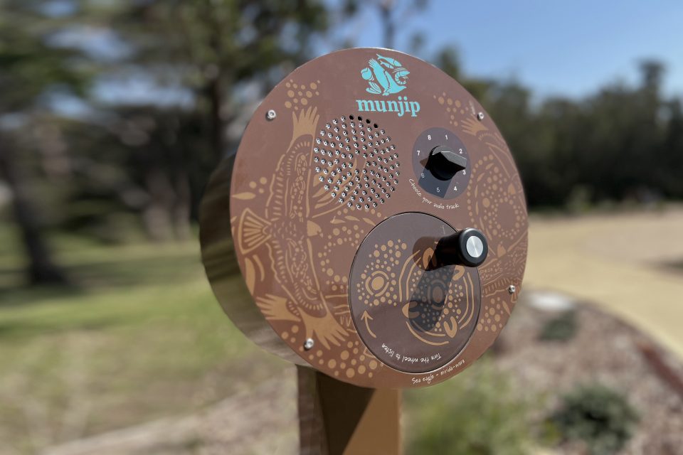
The trail opened earlier this year, and its route is highlighted in a new interactive map and webpage, packed with tips to make your walk even more fun (think suggestions on where you can park, hiking tips, introductions to the trail’s Indigenous art and cultural installations).
Eurobodalla Mayor Mathew Hatcher said the project added heart to the region’s tourism offering.
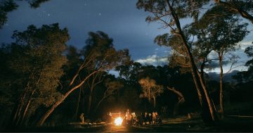
“The Munjip Trail is a cultural, artistic and environmental experience,” he said.
“We expect local businesses to really benefit, especially through the quieter winter months.”
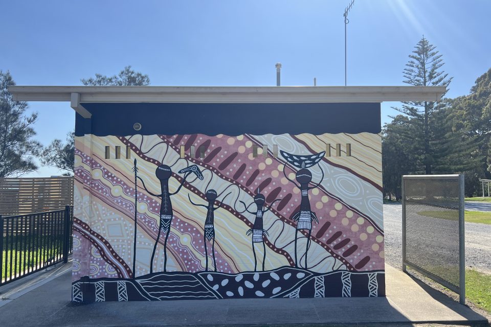
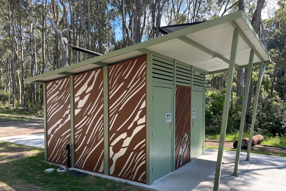
It features artwork, such as installations and stories of the Walbunja people and work by Batemans Bay High School students.
The walk opened in April, with $5.25 million in funding coming from the Australian and NSW governments’ Bushfire Local Economic Recovery Fund.
Federal Minister for Emergency Management Kristy McBain said the Munjip Trail was an example of how recovery funding could support communities to reconnect with Country, culture and each other after a crisis.
“Projects like this don’t just rebuild what was lost. They help shape stronger and more resilient regions where locals and visitors alike can walk together, learn from the landscape and reflect on the importance of connection, culture and community,” she said.
Federal Member for Gilmore Fiona Phillips said the Munjip Trail was a stunning addition to the South Coast’s already vibrant eco-tourism offerings.
She said it would benefit local businesses, tourism operators and accommodation providers and bring people to the region.
“This walking track is a fantastic way for visitors to experience our Indigenous culture, beautiful beaches and coastal bushland at any time of the year and, of course, provides another outdoor recreational activity for local families to enjoy.”
The Munjip Trail used to be known as the Batemans Bay Coastal Headlands Walking Trail, however Eurobodalla Shire Council worked with local elders to rename it.
While it has been open since April, visitors are asked to take extra care on a 2 km central section of Crown land (near Lilli Pilli), as it is still under construction.
An official opening will be held later this year, once work is finalised.
The website describes Munjip as a grade 3 trail, meaning it is suitable for most ages and fitness levels (though some bushwalking experience is recommended).
It also means the track may have short, steep and hilly sections, rough walking surfaces and many steps.
More information on the Munjip Trail is on its dedicated webpage, and more information on the trail’s development is available on the council’s website.