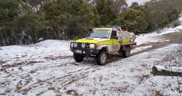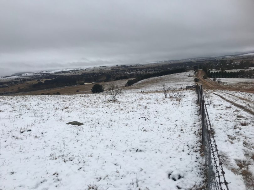
Flashback to the snow that fell around Braidwood in September last year. Photo: Alex Rea.
The Spring Equinox passed this week and the days are now longer than the nights, but a polar blast of snow-filled air that emerged over waters near Antarctica will make the days and nights feel a little longer.
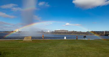
A strong cold front will hit the ACT and south-eastern NSW on Friday and Saturday (25 and 26 September), bringing heavy rain, hail, snow and a return to winter-like temperatures across the region.
Temperatures could be the coldest spring maximums in decades, with forecasts for the Canberra region struggling to reach double figures on Friday and Saturday.
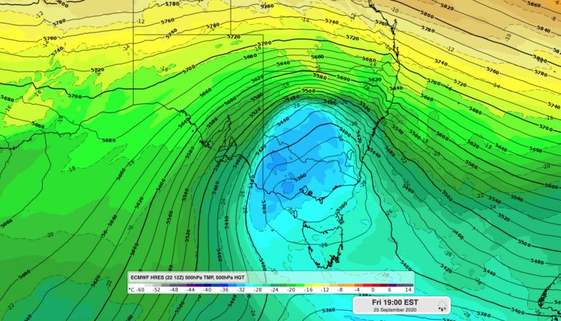
Forecast model showing cold air over south-eastern Australia on Friday. Image: ECMWF
Keen weather enthusiasts will note that the region was covered in a spring blast of snow on 17 September last year. Weatherzone meteorologist Ben Domensino said while it’s not uncommon for air this cold to reach the region during winter, it’s unusual for it to happen this late in spring.
“The combination of cold air, cloud and rain could see some places experience their coldest day this late in spring in a couple of decades,” Mr Domensino said.
“The front at the leading edge of the cold air mass will cross south-eastern Australia between Thursday and Saturday, causing showers, thunderstorms, and potentially damaging winds in parts of Tasmania, South Australia, Victoria, NSW and the ACT.
“As the cold air moves in behind the front, snow and hail will also fall in multiple states on Friday and Saturday. Temperatures could get low enough for snow to reach around 500-600 metres elevation in parts of Tasmania and Victoria, and 700-800 metres in southern and central NSW, including the ACT.”
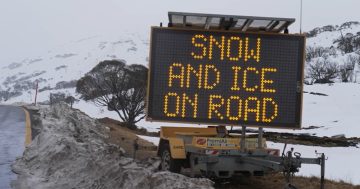
In the Snowy Mountains, there will be significant snowfalls that are also forecast to reach the Brindabella ranges.
The Bureau of Meteorology has issued a severe weather warning for damaging winds, averaging 80 to 90 km/h with peak gusts in excess of 120 km/h possible for alpine areas above 1900 metres from late Thursday night.
Winds are expected to ease on Friday morning following the passage of the cold front but will remain strong and gusty on Friday and Saturday.
The NSW National Parks and Wildlife Service recommends that back-country travel be postponed until conditions improve.
Sheep graziers are also warned that cold temperatures, showers and westerly winds are expected during Friday.
The Bureau’s senior climatologist, Dr Andrew Watkins, said the wintry blast comes just as school holidays begin.
“The impact could include snow down to low levels in the Central and Southern Tablelands, potential thunderstorms, blizzards and small hail and temperatures which feel colder than expected.
Original Article published by Michael Weaver on The RiotACT.