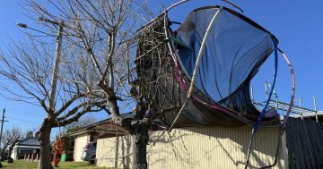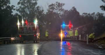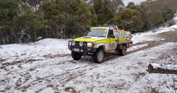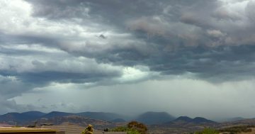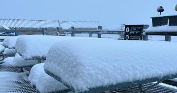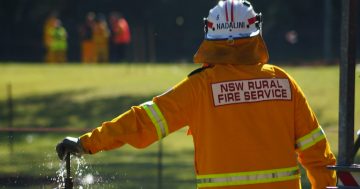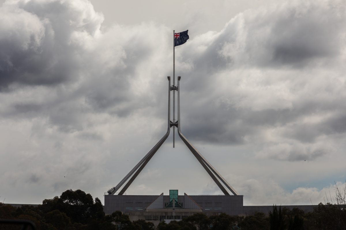
Expect the cold, wet and windy weather to continue over the weekend. Photo: Michelle Kroll.
Southeast NSW will be lashed with damaging winds today, as a “vigorous cold front” moves in across the state.
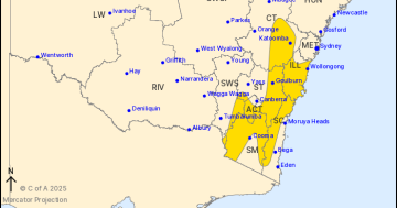
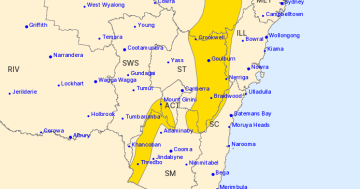
The Bureau of Meteorology (BOM) has issued a severe weather warning for the ACT, South Coast, Snowy Mountains, Southern Tablelands, and South West Slopes, and parts of the Illawarra.
Winds are expected to hit around 100 km/h in some places, while the possibility of snow drops down to 700 metres as temperatures also plummet.
BOM senior meteorologist Miriam Bradbury says “a vigorous cold front is moving across southeast Australia on Friday, bringing very cold and very windy conditions”.
“Those strong to locally damaging winds will extend across southern and southeast South Australia, possibly becoming destructive around those southern coastal areas.”
Overnight, showers and isolated thunderstorms drifted across the south, bringing 15 to 40 millimetres of rain to gauges in NSW, mainly on the southeast ranges.
Perisher received up to 42 mm alone, combined with wind gusts of up to 93 km/h. Closer to the coast, winds reached 100 km/h in Nowra and 101 km/h in Moss Vale.
Ms Bradbury says today will continue the theme, with damaging winds – to the point of blizzards for areas around 1200 metres in elevation – likely across the Snowy Mountains, Brindabellas, and Central Tablelands.
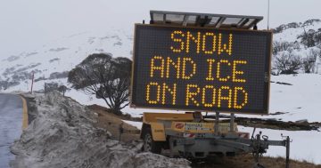
The snow level will also drop down to 700 metres for NSW, with “some flurries” possible for the ACT too. A hazardous surf warning is likely to be issued for most of the NSW coastline for Saturday.
The NSW National Parks and Wildlife Service recommends postponing travel to the back country, including Goulburn, Nowra, Cooma, Braidwood, Nerriga, Araluen, Captain’s Flat, Thredbo Top Station, and Mount Ginini.
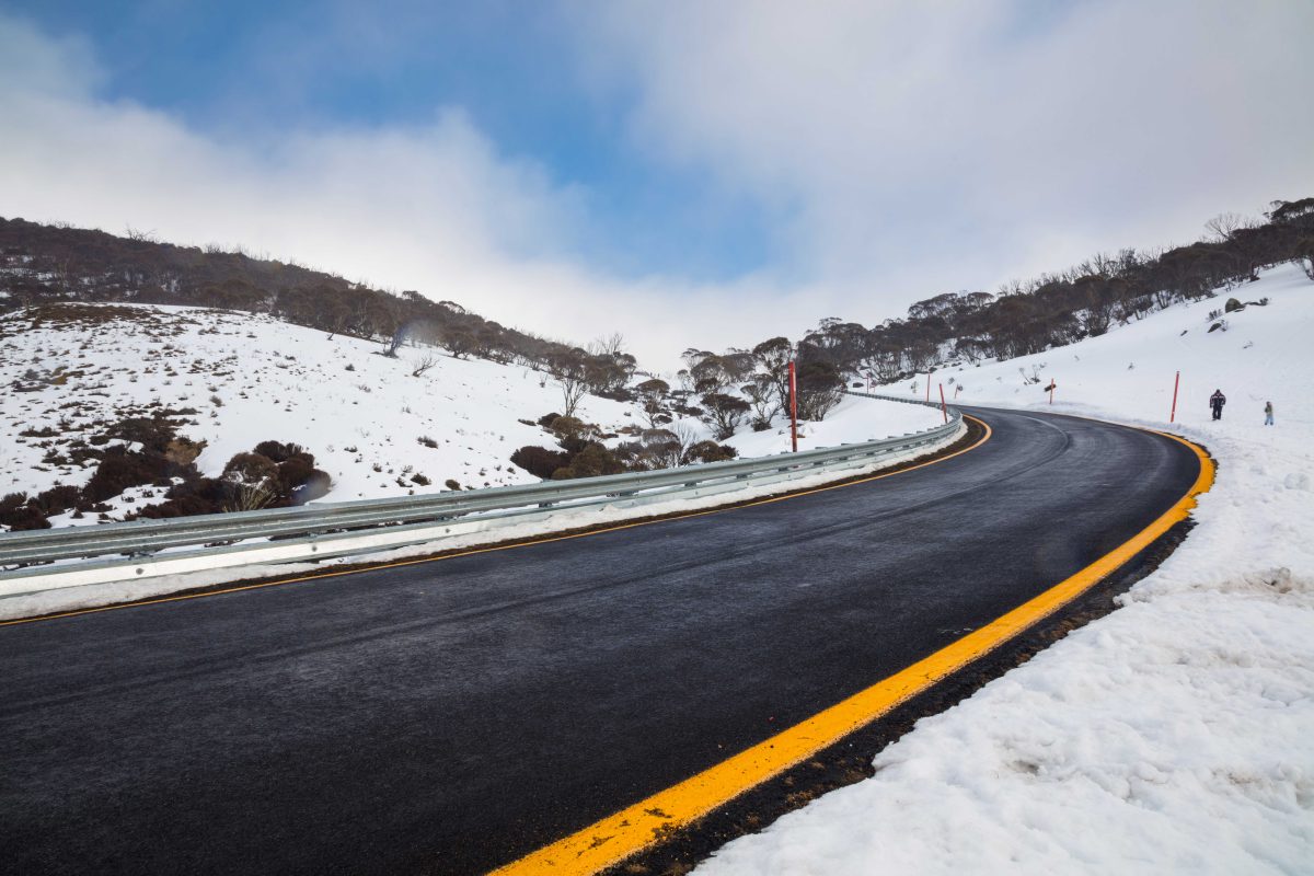
NSW National Parks recommends avoiding travel into the back country. Photo: Dave Coleman.
ACT Policing have also warned motorists that officers will be “actively patrolling rural areas” over the weekend to enforce safe driving.
“With poor weather and possible snow this weekend, ACT Policing is reminding Canberrans to exercise caution if heading into the mountains,” a statement reads.
“Motorists are reminded to slow down and drive to the conditions, particularly when visibility is low, or in traffic.
“We also advise that sedans, two-wheel drives and all-wheel drives (AWDs) should not be driven off bitumen in rural areas if dirt roads are wet or snow-covered.
“Campers and bushwalkers in rural and remote areas should postpone their activities if not properly equipped for cold, wet and windy weather, including blizzard conditions.
“Bushwalkers should also carry a personal locator beacon, and notify someone of where they are going and when they are expected to return.”
The rest of Friday is expected to be cloudy in Canberra, with between 5 and 15 mm of rain expected into the afternoon and evening and winds reaching up to 40 km/h. The temperature will max out at 14 degrees Celsius.
Saturday will start with a frost and reach a high of 13 degrees, with up to 2 mm of showers expected in the early morning.
The warmth will return on Sunday, when temperatures climb back up to 17 degrees and continue to rise through to an expected 20 degrees on Tuesday.
In the meantime, the State Emergency Service (SES) advises that people should:
- Move vehicles under cover or away from trees to protect them from damage.
- Secure or put away loose items around your house, yard and balcony.
- Keep at least 8 metres away from fallen power lines or objects that may be energised, such as fences.
- Be aware that trees damaged by fire are likely to be more unstable and prone to falling.
- Report fallen power lines to either Ausgrid (131 388), Endeavour Energy (131 003), Essential Energy (132 080) or Evoenergy (131 093) as shown on your power bill.
- Stay vigilant and monitor conditions (noting that the landscape may have changed following bushfires).
For emergency help in floods and storms, ring your local SES Unit on 132 500.
Original Article published by James Coleman on Region Canberra.


