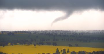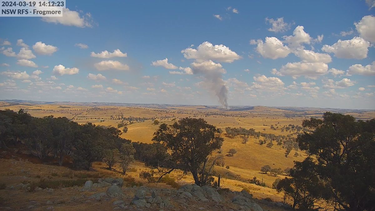
The cameras were first trialled at Frogmore, east of Boorowa, in 2023. Photo: NSW RFS.
Fire season anywhere has always relied on people scanning the horizon for plumes of smoke, but thanks to an inventive solution, the South West Slopes Rural Fire Service (SWS RFS) now has a team of robotic eyes to assist.
A collaborative arrangement with a Gundagai internet service provider has resulted in a network of outdoor cameras being set up across the vast 11,107,521-hectare fire zone to allow real-time monitoring from a control room in Harden-Murrumburrah.
Wi-Sky, the broadband brainchild of Coolac farmer Jock Graham, has long been credited with bridging a technology divide that’s given Southern NSW rural and regional communities high-speed connectivity.
In the seven years since it started connecting people from its base near Gundagai, the ground-based fixed wireless network has now expanded to more than 370 fixed wireless internet access towers across eight local government areas: Gundagai-Cootamundra, Snowy Valleys, Hilltops, Yass Valley, Greater Hume, Upper Lachlan, Wagga and Temora.
It’s been triumphant not just in plucking these rural and remote communities out of black spots and the Dark Ages and connecting them to the rest of the world, but for farmers it’s offered benefits that just years ago were unimaginable, beyond now superior on-farm communication to best-of-kind agricultural monitoring and tracking.
Now those towers Wi-Sky built are serving a dual purpose in helping to fight fires by playing host to 360-degree robotic remote-controlled PTZ cameras, capable, as their name suggests, of panning left to right, tilting up and down, with a 22x optical zoom range that could detect a number plate.
Their capabilities, Jock said, were infinite, with features such as smoke sensors and facial recognition already on tap.
The collaboration with the SWS RFS started, he said, with a conversation.
“They got in touch with us a couple of years ago – they wanted to test the water a bit with the cameras, knowing we had some poles around, so we put them on top of a selection of poles in areas they wanted to cover,” he said.
Starting with four cameras, the project has been so successful there are now about 10 cameras installed across the South West Slopes region – in the east at Wyangala Dam, Rugby and Galong across to the west including the Berthong Lane, between Cootamundra and Stockinbingal, and Tubbul, with more cameras planned in the south near Gundagai and the Snowy Valleys.
“If you go into the Harden Control Centre’s control room, there’s a big screen with all the cameras on there live all the time,” Jock said. “They really do use it as part of their control dashboard.
“It’s not just fire emergencies, but when there’s a burn taking place, it just means they can correlate that with what they’re seeing too. It puts observation right in their hands.”
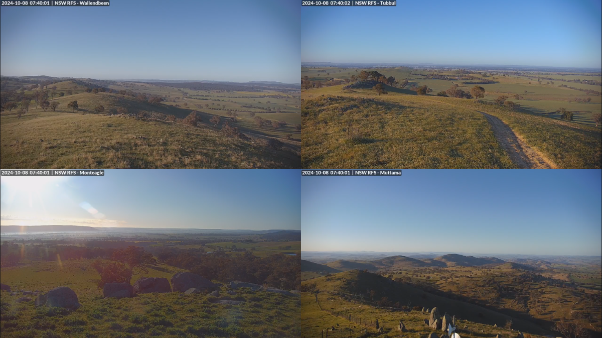
The cameras offer 360-degree views from about 10 towers dotted across the NSW South West Slopes. Photo: Jock Graham
Now in its second year of operation, the project has already won over the RFS’s South West Slopes Zone district manager Andrew Dillon, who can’t speak highly enough of the technology.
“They proved pretty good, the ones we had during last year’s permit season,” he said.
A predominantly farming region with a rough footprint mirroring the Hilltops and Cootamundra-Gundagai Regional Council local government areas, the South West Slopes zone also encompasses 11 national parks covering 11,074 hectares and three state forests covering 13,988 hectares.
Lachlan Hicks has helped spearhead the project and says the cameras only serve to augment an arsenal of emerging technologies the RFS is now rolling out.
“We’re not taking over from any of our volunteers or overriding any decisions, but these observation cameras do offer us a new perspective that we traditionally wouldn’t have,” he said.
“For instance, we started trialling the observation cameras east of Boorowa first up in 2023, where the country is deceptively rugged and peppered with valleys, so being able to look down into them just gives us better information about what we’re looking at to help support our volunteers to get to the fires.”
Mr Hicks said he hoped neighbouring zones would also see the value in the camera technology, which at this stage is confined to the South West Slopes.
“It’s just another tool we can use to help keep ahead of anything that’s happening and of course with the use of thermal technology, we can quickly get to the heart of the fire and form management plans that optimise the firefighting outcomes,” he said.
He said RFS vehicles now equipped with low earth orbit satellite technology ensured personnel could communicate using radios, mobile phones, and other handheld devices during a disaster in the most remote locations or if communication systems were down.
It also gave crews the capability to live-stream video of fires from anywhere in the state, providing command centres with the latest intelligence about an incident, he said.
In its Seasonal Bushfire Outlook for Spring 2024, AFAC, the National Council for fire and emergency services, said NSW was expected to have normal fire potential but there are warnings that forested regions impacted by the Black Summer fires have recovered to a point where, if conditions become dry, they could again sustain dangerous blazes.


