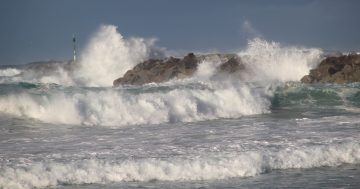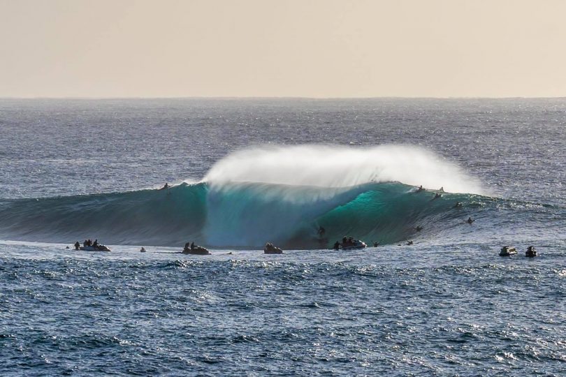
Those who know will know where this South Coast bomby breaks, pictured here in January. It could be working again this weekend. Photo: Josh Burkinshaw Images.
It may be difficult to get hold of a tradie to do an emergency job this weekend as word gathers of a huge southerly swell brushing the coastline.
All the surf forecast models are lighting up with predictions of a swell anywhere between 5 and 8 metres, beginning on Friday and leaving a trail of waves until at least Tuesday next week.
The initial pulse with be directly from the south, meaning the bigger waves will push straight past the South Coast to buffet the NSW mid and north coasts.
As the deep low-pressure system and associated cold front move off the coast into the Tasman Sea, the swell will have more of a south-easterly direction that will light up all south-facing beaches along the South Coast.
Winds are expected to be offshore, blowing in a west or south-westerly direction, making the conditions perfect for experienced surfers, or those just wanting to see Mother Nature at her finest.
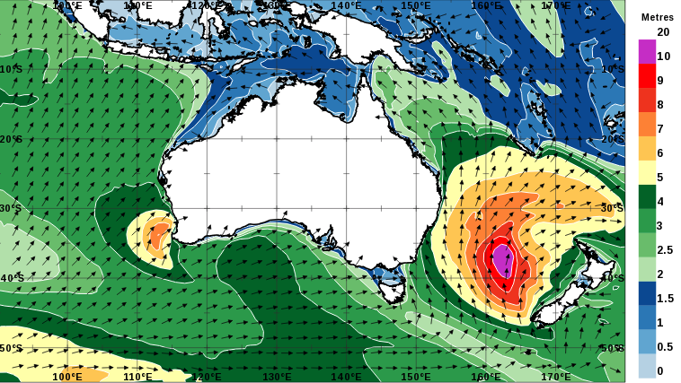
Wave height and direction forecast for Sunday 30 May. Image: Bureau of Meteorology.
The Bureau of Meteorology has issued a hazardous surf warning for the entire NSW coastline, boaters and fishers are urged to check with their local authorities before heading anywhere near the ocean.
Weatherzone forecaster Ben Domensino said as the weather system builds in the Tasman Sea, it will bring monstrous waves and howling winds due to its proximity to a high-pressure system over central Australia.
“This pressure gradient will generate a large and persistent area of south to southwesterly winds above the Tasman Sea that will relentlessly blow at around 30 to 40 kt (55 to 75 km/h) between Friday and Sunday,” Mr Domensino said.
“Models suggest that significant wave heights, which is an average of the highest one-third of waves measured at any given location, could reach 9 to 10 metres around Lord Howe Island on Saturday.
“Wave heights won’t be quite as large along Australia’s east coast, but they could still reach about 5 to 7 metres not too far offshore between Friday and Sunday. South-facing beaches will see the biggest waves from this swell event.”
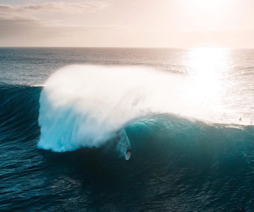
Big waves and offshore winds are forecast all along the South Coast this weekend, pictured here at an undisclosed spot north of Batemans Bay. Photo: Josh Burkinshaw Images.
Surfline website forecaster Ben McCartney said as the low-pressure system really starts churning out a solid, long period swell, an even broader, severe gale force S/SSE fetch will fill almost the entire Tasman Sea on Saturday before slowly easing in strength on Sunday.
“That all definitively points to a full weekend of heavy south swell, pretty straight out from 180 degrees as the first pulse peaks on Saturday, then a wider range of large surf across the entire NSW coast as a second, more SSE-angled pulse builds in on Sunday,” Mr McCartney said.
Strong SSW to southerly winds may hamper things in southern and central NSW, but further north, the second pulse holds excellent potential for northern NSW and southern Queensland.
The last big swell to hit the South Coast was on the Easter long weekend when surfers swarmed to find a location with great waves. However, due to the accuracy of many forecasting sites and models, the days of finding the ultimate wave on your own or with a couple of your mates may be over.
Original Article published by Michael Weaver on The RiotACT.


