Plans for the subdivision include internal roads and three cul-de-sacs. Photo: Supplied.
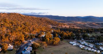
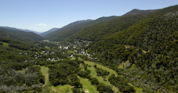
More than 50 new lots of land have been proposed for Jindabyne.
According to a development application (DA) lodged with Snowy Monaro Regional Council, the subdivision is planned for a 2.86-hectare block of land in the town’s southwest.
Each block would be between 380 and 896 sqm, which the applicants argue would boost affordable housing in the area.
“The proposed development will provide for residential development close to the town centre of Jindabyne,” the DA states.
“The small lots proposed will provide a more affordable option for housing in this location where the minimum lot size in the Snowy River LEP that applies to other areas requires larger lots.
“The release of additional residential land will provide a positive economic outcome for this locality by providing jobs in the construction industry and boosting economic activity.”
According to the DA, the site would be cleared and levelled, before construction work began.
The project would be completed over five stages at an estimated cost of $2,750,000.
Access would come through Rawson Street, with internal roads to pass through the subdivision.
The internal roads would be two-way roads and feature roll-top kerbs.
There would also be three cul-de-sacs and a secondary access point for emergency access via Jillamatong Street.
“It establishes that, with a maximum of 106 dwellings (assuming dual occupancies on all 53 lots), the subdivision could generate up to 318 vehicles during a bushfire evacuation scenario,” the DA states.
“The proposed internal road network is designed as an 8 m wide local street, consistent with council standards, and is capable of accommodating up to 1000 vehicles per day – well above the projected evacuation demand.”
The block is also bordered by the proposed Southern Connector Road corridor to the south, and Barry Way to the west.
An ecological assessment noted that most of the site was managed non-native grassland, with some landscaped sections.
It was also considered bushfire-prone.
While there are koala feed trees on the site, no koalas were found during surveys.
The DA also notes that about 0.04 hectares of the native vegetation would be removed under the proposal.
A large, hollow-bearing tree is also slated for removal.
The ecological assessment recommends hollows be reused within retained lands in the greater Highview Estate.
“If recovery is not possible, installation of an equivalent nest box or use of the HollowHog System to replace lost hollow resource should be undertaken in the retained land,” the document suggests.
A review also found no Aboriginal sites on the block.
The DA, with the number 10.2025.137.001, is under consideration by the council.


