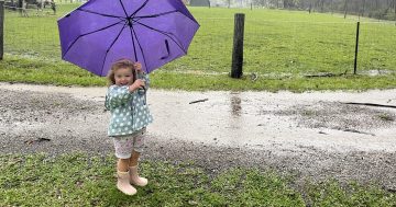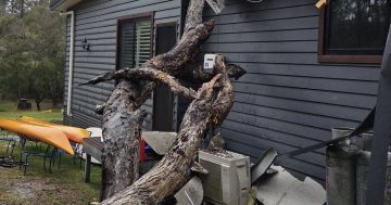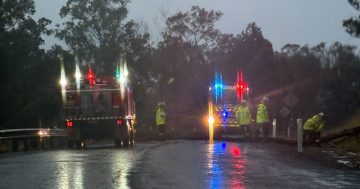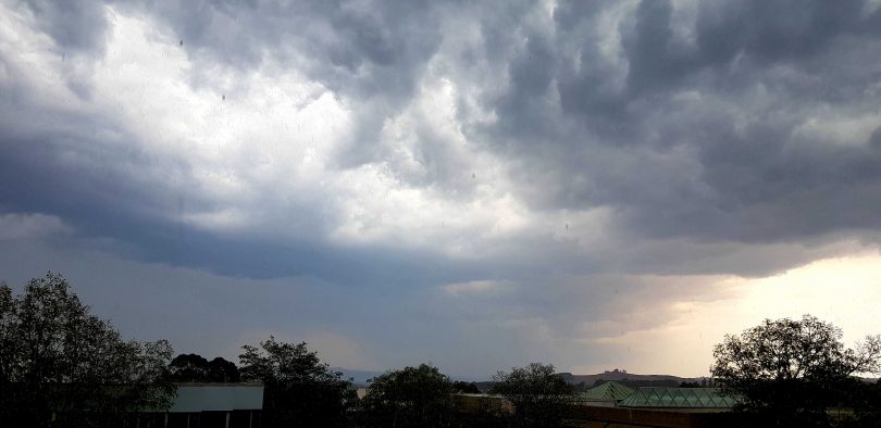
Rain and storm clouds over Canberra earlier this year. Photo: Region Media.
Weather forecasters are finally saying the forecast for rain across the entire east coast of NSW and Canberra is looking very promising, with the fire-ravaged areas of the ACT and NSW South Coast set to receive widespread falls.
The NSW Rural Fire Service tweeted its plea for the rain to arrive, saying: “Please, please, pretty please!” when the eight-day forecast was released yesterday.
Please, please, pretty please! (8 day rainfall outlook) #NSWRFS pic.twitter.com/4QZvhu58cs
— NSW RFS (@NSWRFS) February 4, 2020
Canberrans could see the first rainfalls on Thursday evening, with the likelihood of rain and storms increasing through to Monday and Tuesday of next week. The forecast is for a more than 80 per cent chance of rain on Saturday, Sunday and Monday. Between eight to 25 mm is forecast each day.
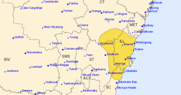
On the NSW South Coast, the Bureau of Meteorology is predicting between 150 and 200 mm of rain will fall from Friday, with heavy falls of up to 100 mm from this Saturday through to Tuesday next week.
BOM meteorologist Diana Eadie said significant rainfall totals have already been recorded in central Queensland where the weather system is forming and by the end of the weekend most areas east of the Great Dividing Range will have been affected.
“A coastal trough will slip down the east coast on Thursday and Friday. Transient low-pressure systems may develop along this trough, which will bring the potential for intense rainfall rates as well as the chance of damaging winds and surf,” Ms Eadie said.
“Rainfall is also expected to increase over fire-affected areas of south-east NSW and the ACT as the system moves further south. While this is likely to dampen fire activity, it will bring its own risks including run-off into waterways, the potential for landslips and felled trees and branches.
“This is an evolving situation, so please keep an eye on the radar and watch for any warnings which may be issued,” Ms Eadie said.
#Rain has been forecast for #NSW and the #ACT over the next few days. Now is the time to clean out those gutters! For all warnings https://t.co/7iSojrZ31E For information on preparing for heavy rain refer to #ESA #FloodSafe at: https://t.co/mxGueqSUeo pic.twitter.com/iIZXs7dmBC
— Bureau of Meteorology Australian Capital Territory (@BOM_ACT) February 4, 2020
Weatherzone forecaster Ben Domensino said the weather system is complex and forecast models are struggling to predict exactly when, where and how much rain will occur.
“What we can say at this stage is that many areas from central Queensland down to southern NSW will see useful rain from this system, while a number of cities, towns and farms will experience severe weather on one or more days during the week ahead,” Mr Domensino said.
“Accumulated rainfall totals during the next eight days (Wednesday to Wednesday) are likely to reach at least 20-50 mm for a large swathe of eastern Australia, including some parts of the drought-weary Murray Basin. Closer to the coast, weekly totals will exceed 100mm and could push above 200mm in some areas.”
Canberra weather forecaster and veteran meteorologist Clem Davis told Region Media there is no reason for anyone to doubt the forecasts of widespread rainfall in the area.
“This is the kind of weather pattern we normally see during summer, with a broad area of tropical moisture increasing in intensity as it moves down the east coast,” Dr Davis said.
“With these situations, there’s always the chance of the odd shower or storm from Thursday but the main activity will be Saturday, Sunday and Monday.
“This moist easterly airstream will push onto the ranges and beyond, so there is a high chance of rainfall right along the east coast and inland areas.”
Dr Davis said the rain will be the first decent falls since the hailstorm wreaked havoc through the heart of Canberra on 20 January.
“If the weather gods smile, we could get some reasonable rainfall and they look like being moderate to heavy falls.”
Original Article published by Michael Weaver on The RiotACT.


