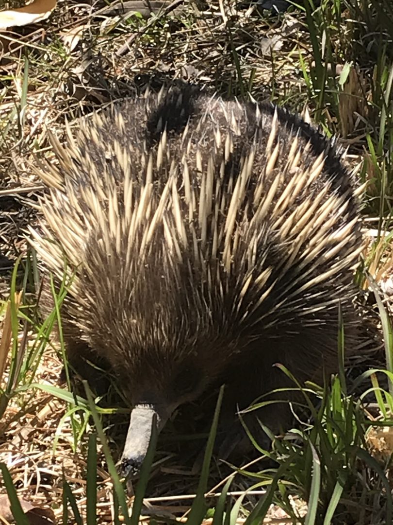
Looking for something to do during lockdown? Make wildlife spotting part of your daily exercise. Photo: Kim Treasure.
If you are out and about in the Queanbeyan-Palerang local government area (LGA) for your exercise during COVID-19 lockdown, why not make it really count by doing your bit for wildlife recovery?
Queanbeyan-Palerang Regional Council (QPRC) has partnered with one of Australia’s largest citizen-science platforms, NatureMapr, to collect species sightings data from across its LGA.
The NatureMapr app is a platform that allows anyone to share species sightings of plants and animals in the Canberra and Queanbeyan-Palerang region, as well as several other locations across Australia.
Photos and audio recordings can be entered into the app and participants then tag their submission with a category or identified species. The submissions are then verified or corrected by moderators.
The sighting information added into the app by residents, visitors and experts allows the creators and other organisations to learn more about the types of species, their populations and spread in the region.
“This app is a great opportunity for locals to get outdoors and share what they find in their own backyard,” said QPRC Mayor Tim Overall.
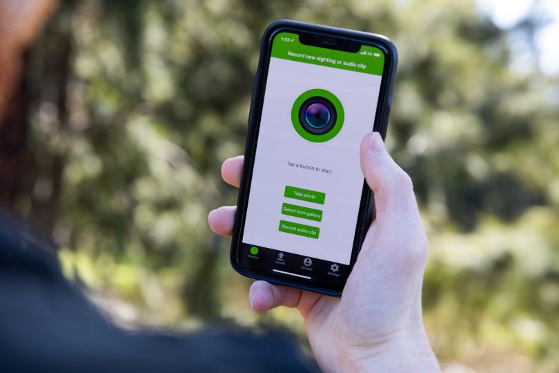
The NatureMapr app allows citizen scientists to enter sightings of plants and animals they see on their local travels. Photo: Michelle Kroll.
“Being able to contribute to our understanding of species populations across QPRC will help us to create plans that better support native species.”
Funding for the partnership came from the NSW Government’s Bushfire Community Recovery and Resilience Fund.
New maps and datasets specifically for the QPRC area have been created for the app and the data collected through the platform will inform future land management and bushfire mitigation strategies, as well as mapping species recovery after high-stress events.
The apps for Android and iOS have recently been updated, making it easier than ever to add your sightings.
QPRC is encouraging people to download the app and start mapping their findings today.
“It’s a fun way to share plants and animals you may know as well as those you don’t,” said a council spokesperson.
Click here to find out more.
Original Article published by Kim Treasure on The RiotACT.