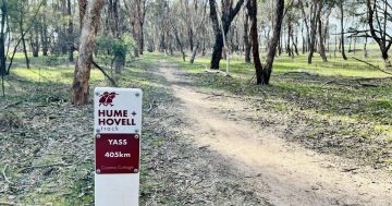
Walk in the footsteps of the explorers Hamilton Hume and William Hovell safe in the knowledge that all the information you need is at your fingertips. Photo: Hume & Hovell Track/Facebook.
The journey of explorers Hamilton Hume and William Hovell in 1824 has been reimagined for the modern age, with the launch of a new digital resource designed to guide hikers along the famed 426 km Hume and Hovell Track.
The Hume and Hovell Track Trip Planner is an interactive tool that allows users to customise their adventure along one of Australia’s most historic long-distance walking tracks which follows in the explorers’ footsteps.
Two centuries ago, the pair and their party of eight set out from Appin in NSW on an expedition that would eventually lead them south through the rugged landscapes of the South West Slopes and Riverina.
Their route and the challenges they faced along the way became a foundational story in the exploration of inland Australia.
The modern Hume and Hovell Track, which opened in 1988, pays tribute to that expedition.
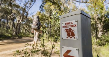
The track between Yass and Albury traverses cool-climate forests, mountain foothills, swamplands, farms, fire trails and quiet back-country roads, offering everything from short day walks to full multi-week expeditions.
Dotted with more than 150 bridges, boardwalks and dozens of campsites, for trekkers it provides both a physical challenge and a chance to step back into history.
Until now, planning a trek along the Hume and Hovell often meant juggling maps, track notes and campsite details across different sources.
Now, thanks to the new trip planner, trekkers can tailor their journey with greater ease and confidence than ever before.
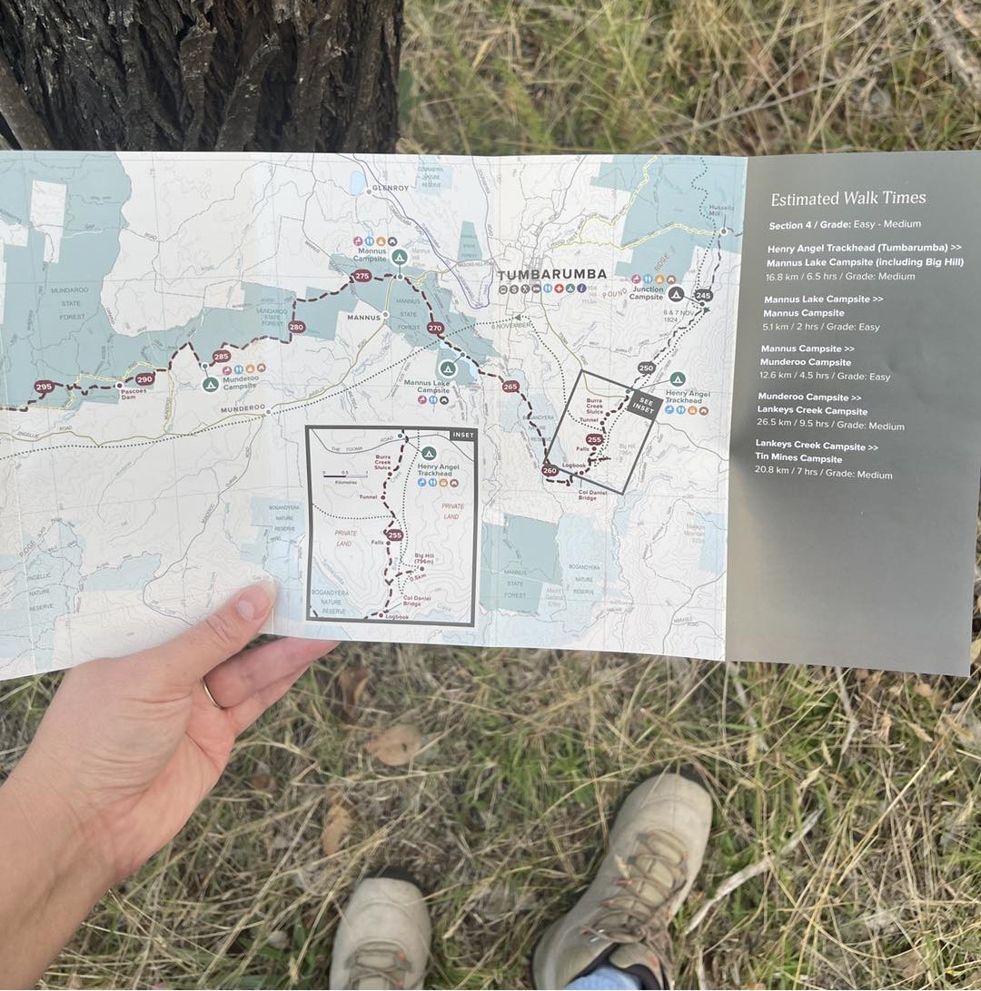
In addition to the digital trip planner, trekkers can also purchase one of the newly-released Hume and Hovell Track map kits. Photo: Hume & Hovell Track/Facebook.
Developed by the Crown Lands team in the NSW Planning and Environment Department with the help of a specialist web developer, the online tool offers a whole host of customisable options.
For starters, trekkers can create their own trip report, select custom start and finish locations and direction of travel, review campsite facilities, locate vehicle access points, produce an elevation plot and identify the ascent and descent each day, plus get current track notifications all on the one platform.
Perhaps most usefully, they can create a personalised trip report and download it as a GPX file, allowing for offline navigation when out on the track.
This feature means trekkers can carry a digital version of their journey on a GPS device or smartphone, giving reassurance in remote areas where phone reception is unreliable.
The trip planner also shows “short walk” options and points of interest along the track and links to the main Hume and Hovell Track website for more descriptions, campsite booking information and hiking notes.
It also also highlights shorter walks and points of interest along the way, making it equally valuable for casual day-trippers and those embarking on the full end-to-end trek.
The launch of the trip planner follows the recent release of the Hume and Hovell Track map kits – a physical navigation resource designed to work hand-in-hand with the online tool for hikers who prefer a tangible guide in hand.
Combined with the digital features of the trip planner, it means those hikers now have the best of both worlds – the security of a physical map and the flexibility of modern technology.
The map kits, priced at $25, feature clear, easy-to-navigate maps printed on durable stock.
They are available at visitor centres in Yass, Tumut, Tumbarumba, Albury and Greater Hume, as well as from outdoor retailer Tom’s Outdoors in Tumut.
Click here for more information, including digital downloads and map kit purchases.