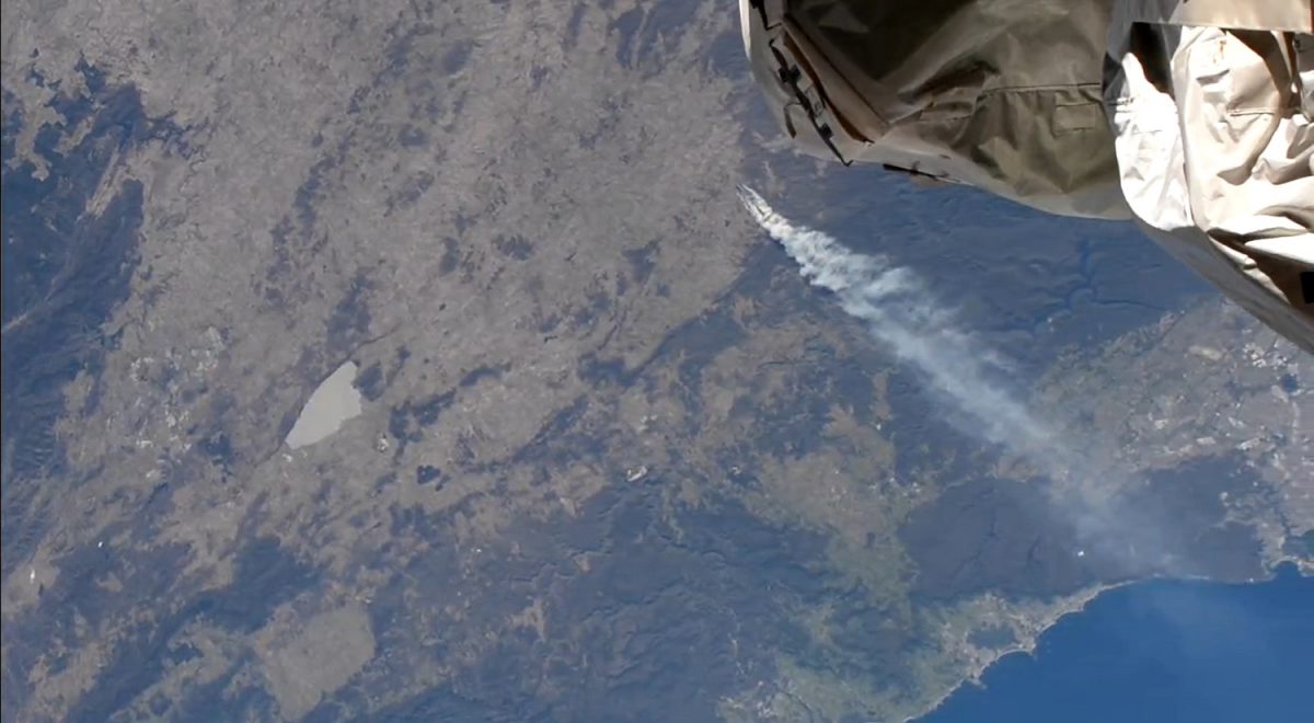
The fire at Curraweela as seen from the International Space Station yesterday. (Lake George and Canberra are at centre-left of screen, and the Illawarra and southern suburbs of Sydney at bottom-right.) Photo: Screenshot.
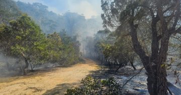
The bushfire at Curraweela, 35 km northeast of Crookwell, continued to burn overnight, and the NSW Rural Fire Service says it is not yet under control.
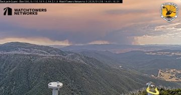
Now called the Craigs Road Fire, it had burnt out an estimated 254 hectares by 3 pm yesterday afternoon (16 March), and smoke from the fire was noticed over the Southern Highlands, Illawarra and southern Sydney suburbs at sunset last night.
An evacuation centre was established last night at the Crookwell Services Club at 160 Goulburn Street and at the Taralga Showground on Walsh Street for livestock.
The fire is now estimated to have burnt 2686 hectares, and while conditions have eased, it is continuing to burn in an easterly direction. The RFS advises that residents in the areas of Craigs Road, Jerrong Road and Wombeyan Caves Road should continue to monitor conditions.
It says firefighters will continue to work today to slow the spread of the fire and undertake property protection, while heavy machinery will be used to establish containment lines.
The fire was clearly visible yesterday afternoon from the International Space Station as it overflew our region.
Australia: Clear skies over @Canberra, on the way to @cityofsydney then, WHAT IS THAT?? Bushfire? What does that look like from the ground?
Captured live from the @Space_Station 434km up at 3:52pm AEDT today.@abccanberra @7NewsCanberra @9NewsCanberra @9NewsSyd @7NewsSydney… pic.twitter.com/iMksliBchS— ISS Above (@ISSAboveYou) March 16, 2023
The @ISSAboveYou Twitter page posted a clip of the ISS flying over Australia’s southeast, including the Snowy, Canberra, Southern Tablelands, Sydney, Central Coast, Hunter and NSW Mid-North Coast regions. (The fire and smoke can be clearly seen from 15 seconds to the 55-second mark.)
Original Article published by Andrew McLaughlin on Riotact.


