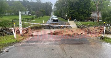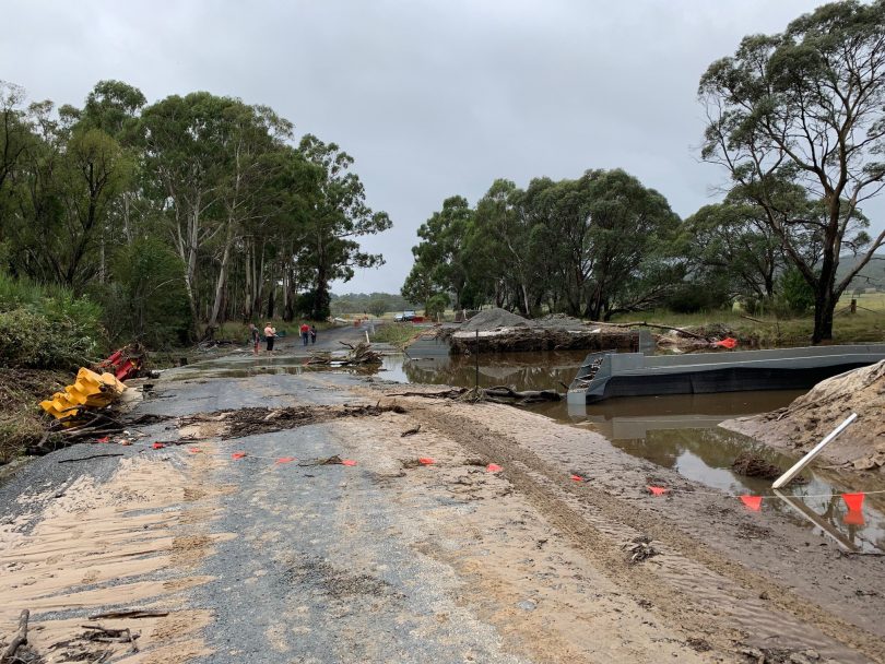
Cooma Road at Brick Kiln Bridge. The sidetrack that was constructed around the construction site of a new steel bridge has been badly damaged. Photo: Queanbeyan-Palerang Regional Council.
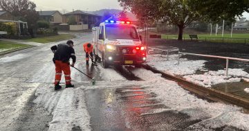
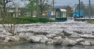
While the flooding rain and wild winds of an East Coast low have finally moved on, councils across the Capital region have been left to deal with the road damage left behind.
The Sydney, Illawarra and Shoalhaven regions took the brunt of the weather system, however the South Coast and the Southern Tablelands also experienced torrential rain and howling winds.
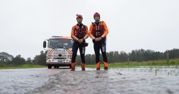
From Sunday evening (6 March), the NSW SES’s South Eastern Zone received 1244 callouts, 24 of which were flood rescues. The bulk of the callouts and most of the flood rescues were in the Illawarra and Shoalhaven regions, but infrastructure damage was widespread.
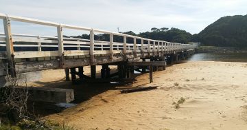
A Queanbeyan-Palerang Regional Council spokesperson said the eastern side of the local government area was most affected. Roads that cross the Shoalhaven River and the creeks and rivers that feed into it seem to be the worst-hit areas, but there has also been damage to abutments, causeways and unsealed roads in different areas across the region.
The spokesperson said it was too early to estimate the cost of the damage. In some cases, staff remain unable to access areas, with creeks and rivers still running above the road level. A better estimate will be available once water levels decrease and the areas have been made safe.
Trees down near Knowles Creek, Araluen Road. Photo: Eurobodalla Shire Council.
Bega Valley Shire Council Acting Director Assets and Operations Ian MacFarlane said, similarly, the level of damage is in the process of being assessed and, with more rain forecast, there will be a clearer picture of the total damage by next weekend.
He said that the Natural Disaster Declaration by the NSW Government would allow the council to access recovery funding to assist with the clean-up.
The central issue for Bega Valley is the “many potholes” and embankment slippage impacting Big Jack Mountain Road and Market Street Merimbula.
“Our priority now is to continue with inspections of road infrastructure, including bridges, and to engage local contractors, if they are needed, to clear debris and obstructions before reopening roads,” Mr MacFarlane said.
“While our entire road network will be assessed, our initial focus will be to inspect key roads for potential access and safety concerns.
“Where possible, clean-up activities have commenced, including infrastructure assessments that will continue as the floodwaters recede.
“Council will need to allow conditions to dry sufficiently to enable effective repairs to be completed but will be progressing based on individual conditions.”
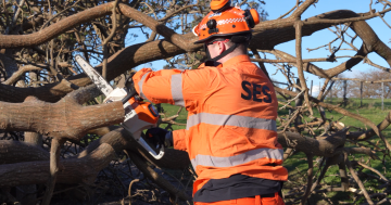
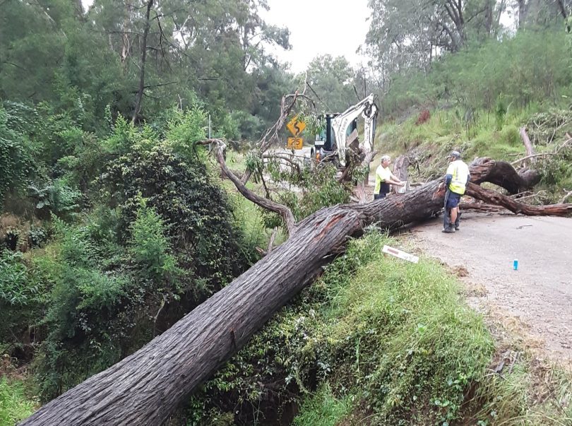
The Batemans Bay SES unit was still hard at work on Wednesday (9 March), responding to storm incidents and several callouts to fallen trees blocking roads. While the rain had subdued by Wednesday, the strong winds remained, causing the trees to come down.
Motorists are reporting extensive damage to cars and tyres with potholes opening up in many of the shire’s roads.
Early weather predictions were for up to 20 mm of rain for parts of the region over the weekend. Now, it’s more likely that the highest rainfall totals will be about a quarter of that.
For updates to road closures, check your council’s social media or website.