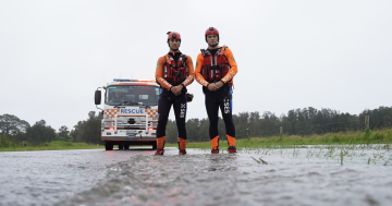
Extra volunteers and emergency assets have been pre-deployed in preparation for the complex coastal low pressure system. Photo: NSW SES.
Intense winds, raging surf and flash flooding are all possible as a complex coastal low pressure system forms off eastern NSW.
NSW State Emergency Service Acting Assistant Commissioner Allison Flaxman ESM has urged people to get ready now as property damage from destructive winds and flash flooding were significant risks with this system.
“People should prepare now by tying down any loose items around their homes so they don’t become projectiles and damage property in the forecast wind,” she said.
“Be alert today so you’re safe tomorrow by understanding your risk and planning what you will do and where you will go if you are impacted by flash flooding or riverine rises.
“If you do come across flash flooding while driving, do not take the risk of driving through floodwaters. It doesn’t take much water to move your vehicle, and you don’t know what damage has been done to the road surface underneath the floodwaters.”
A high pressure system is being pushed to the east by low pressure coming down from the north.
Bureau of Meteorology meteorologist Angus Hines said the system would intensify on Tuesday (1 July) and start to “drench and batter” southern coastal areas.
“[The] wind gets stronger, the rain gets heavier, everything gets more powerful,” he said.
“On Wednesday (2 July) this low pressure area intensifies, becomes larger, stronger, more powerful, and that is going to be our significant weather system for the middle of this week.”
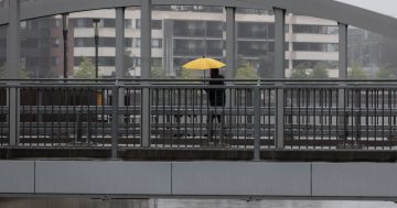
It’s expected large parts of coastal NSW will cop between 50 and 200 millimetres of rain between now (30 June) and Wednesday (2 July).
“I expect some locations will pick up even more than that,” Mr Hines said.
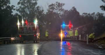
This rain brings with it the risk of riverine flooding, flash flooding and dangerous driving conditions.
Strong winds will begin to develop for the Illawarra from Tuesday afternoon, and stretch further south during the night.
Intense winds of up to 125 km/h are expected along the coast.
“So [for] almost anywhere along the eastern seaboard, from about Melbourne up to Brisbane, chances are you are going to get a battering of strong winds at some stage this week,” Mr Hines said.
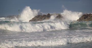
Waves between 5 and 7 metres are also possible.
Power outages, coastal erosion and damage to trees and property have been flagged as potential hazards.
An initial flood watch has already been issued for the Illawarra.
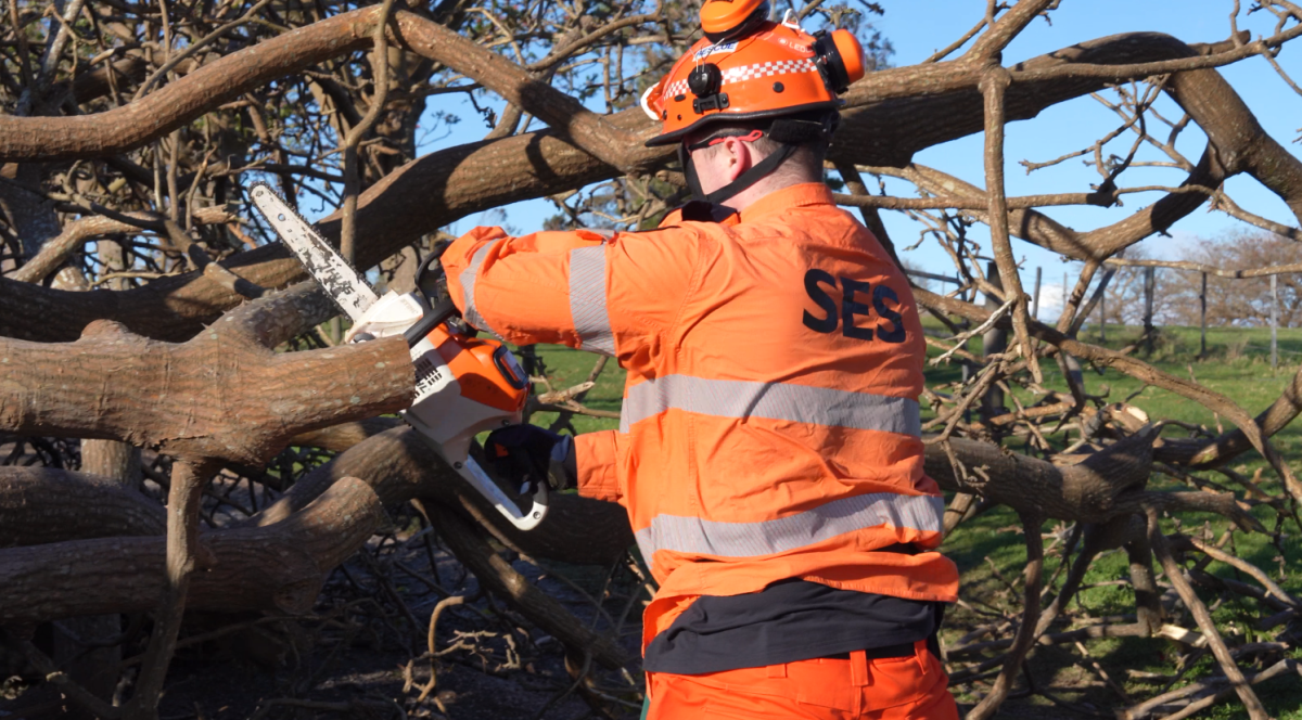
Extra NSW SES assets and volunteers have been pre-deployed to high-risk locations ahead of the system’s arrival.
Acting Assistant Commissioner Flaxman said these included high clearance vehicles and aviation assets.
“We will continue to monitor the development of the weather system closely and issue warnings if required as the forecast tightens,” she said.
If you need assistance from the NSW SES, phone 132 500. If it’s life-threatening call Triple Zero (000).