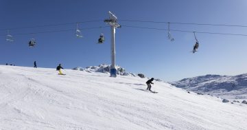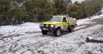
People are being warned to avoid backcountry travel in the short term due to weather conditions. Photo: TfNSW.
Damaging northwesterly winds and possible blizzard conditions are expected to blast most of NSW’s snow resorts today (9 July), the Bureau of Meteorology (BOM) warns.
But the upside is a massive snow dump.
The initial cold front that swept over the southern part of the state yesterday has moved out over the Tasman Sea, but a second cold front brought a very windy night for most in the southeast.
Wind speeds reached 40 km/h in Canberra around midnight, but up to 54 km/h in Cooma, 72 km/h in Goulburn, 93 km/h at Perisher and 104 km/h at Thredbo.
The forecast for the rest of today is mostly sunny, becoming cloudy in the afternoon with a medium chance of showers later tonight.
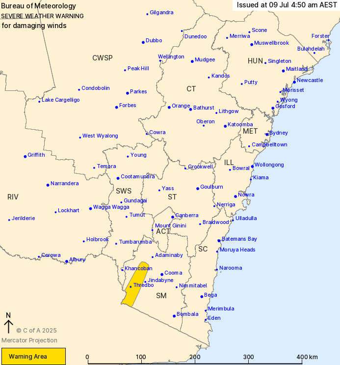
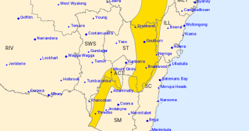
The warning area for severe winds over the next 24 hours (issued 4 pm, 8 July). Photo: BOM.
For most, these winds are expected to shift southwesterly in the wake of the system, but the battering will continue for the alpine peaks, where the NSW National Parks and Wildlife Service is recommending people stay at home.
“Blizzard conditions are also possible above 1900 metres during this time, and the NSW National Parks and Wildlife Service recommends that backcountry travel be postponed until conditions improve,” the BOM says.
Winds are expected to average 80 to 90 km/h – with isolated gusts reaching between 100 and 110 km/h – for Thredbo, Perisher Valley and Charlotte Pass.
So far, only Thredbo has received snow over the past 24 hours, with 12 cm reported. However, according to Snowatch, this will change over the next five days, during which Perisher and Charlotte Pass will join Thredbo in receiving 25 to 40 cm of fresh fall (the current depth is 74.9 cm).
Meanwhile, Selwyn can expect 27 to 45 cm over the next five days.
However, by Friday and Saturday, the ski-friendly weather is looking up.
The forecast for the alpine region is cloudy on both days with a medium chance of snow showers and winds between 25 and 55 km/h. Strong winds return on Sunday, however, when gusts may reach up to 70 km/h.
The ACT region will start Thursday at around 0 degrees Celsius, climbing to 8 degrees and receiving between 3 and 10 mm of rain. Winds will range between 25 and 35 km/h.
Friday through Sunday will then start frosty for Canberra and reach maximum temperatures of 10, 13 and 13 degrees, respectively.
Original Article published by James Coleman on Region Canberra.