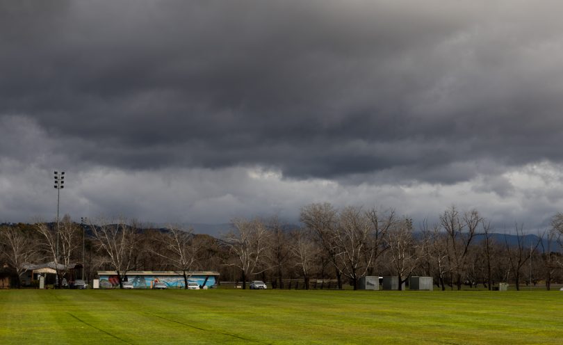
Storm clouds are expected over much of south-eastern NSW this week as cold fronts make their presence known. Photo: Michelle Kroll.
Winter won’t loosen its icy grip on southern Australia for a few days yet, but there is a silver lining (or rather, a snowy one).
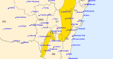
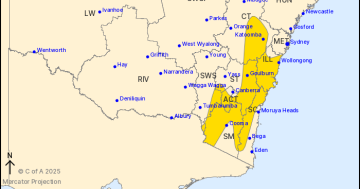
Wind, rain and snow are expected to fall over much of south-east NSW and the ACT until early next week, when conditions ease.
Senior meteorologist at the Bureau of Meteorology (the BoM) Dean Narramore says the conditions are being driven by a series of cold fronts moving south-east.
“[They’re bringing] showers, gusty winds and snowfall for elevated areas,” he says.
“Most interesting is that the strongest in that series of cold fronts [will arrive on] Friday into Saturday. That’s going to bring a big burst of rain, showers, hail, thunder, very strong winds and very cold air.”
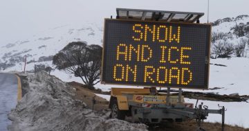
He also flagged possible wind warnings being issued for the Snowy Mountains, which could also see snow falling as low as 800 metres in NSW towards the end of this week.
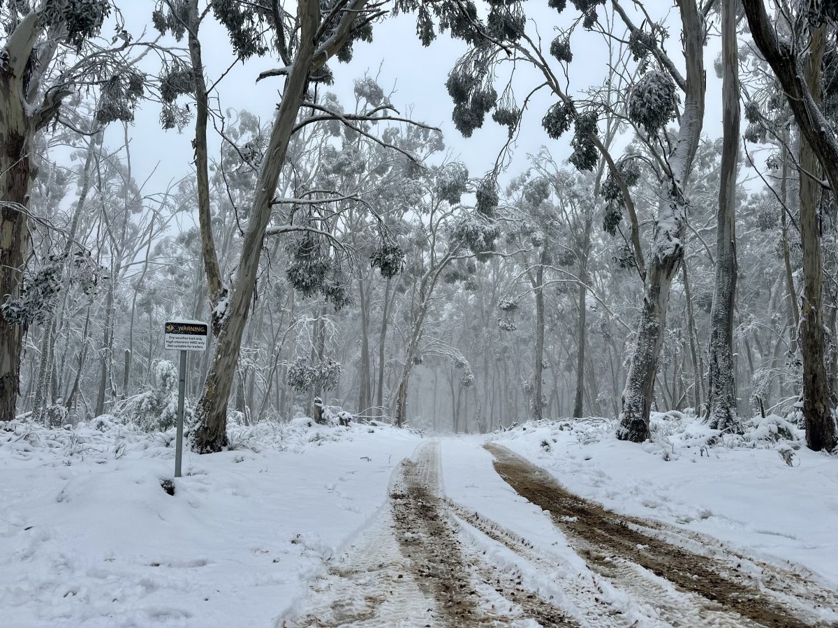
“There will be anywhere from 30 to 50 cm of snow for alpine areas to round out the winter season,” he said.
“It’s a big burst of winter to impact south-east Australia over the next four days.”
Selwyn could see up to 54 cm in the coming days, while Perisher, Thredbo and Charlotte Pass could see about 70 cm, according to forecast website SnowWatch.
Mr Narramore said there could be more snowfall to round out this year’s snow season, but there were no guarantees.
“Normally, the lower you are elevation-wise, the lower your chance [of seeing snow],” he said.
“There’s still more chances … the alpine areas could definitely get snow right through September to October. It’s not unusual, but it’s dependent on the weather.
“Spring is a very changeable time of year as we clash between the heat in the north and the cold in the south, [but] as we get further and further into the end of the year, the chances quickly diminish.”
Snow could fall again on the Brindabella Ranges, after a dusting over the June long weekend. Photo: James Coleman.
The ACT won’t escape the cold, with the mercury expected to drop after a high of 20 degrees earlier this week.
According to the BoM’s forecast, Canberrans can expect wet and windy weather, with temperatures dropping to a low of 11 degrees on Saturday (30 August).
The cold evenings are also set to return, with a minimum of -2 on Sunday and predictions of morning frosts early next week.
Mr Narramore said this “real wintry cold” could give way to a winter wonderland by the weekend.
“[As of] Saturday morning, we could possibly see some snow on those higher peaks around Canberra,” he said.
But if you’re sick of winter, consider heading to coastal NSW – the dip in the mercury is expected to skip those areas.
“They’ll get the wind – it’s going to be windy [until] Saturday along the coast,” he said.
“But all that rain and snow activity will be stuck on the mountains … Coastal areas of the South Coast and Illawarra can expect a dry but windy week.”
According to the BoM, the Illawarra will see temperatures hovering around 20 degrees.
Mr Narramore also said the region can put away its brollies after recent heavy rainfall.
“They could see the odd shower, but nothing like what we have seen,” he said.
Further south, the “windy and mostly dry” conditions continue down the coast.
Moruya is hovering around the high teens into the weekend, while Batemans Bay temperatures will peak at 21 degrees on Sunday.