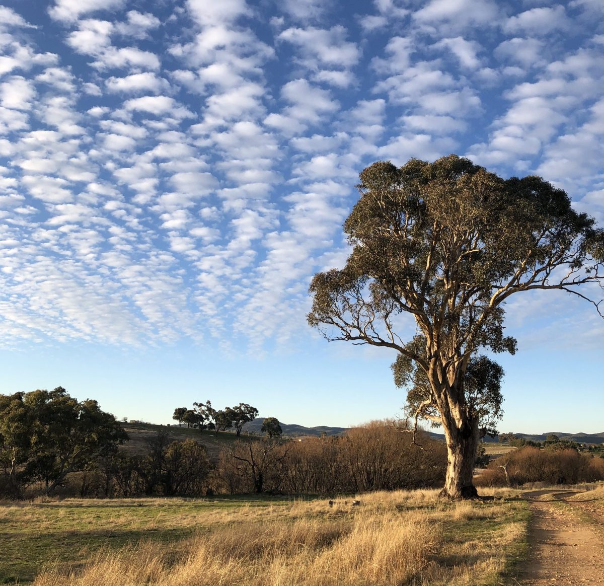
Some areas of New South Wales have had low rainfall this winter. Photo: Sally Hopman.
Coastal communities have seen low counts in their rain gauges so far this winter, but one meteorologist has warned against getting too stressed yet.
Weatherzone meteorologist Ben Domensino had simple words to describe the current conditions: it depends on where you live.
“Winter to date has been quite dry for some parts of southern and southeastern NSW.
“Broadly, as you go further east across southern New South Wales, we’ve started to see some big rainfall deficiencies developing in the last couple of months, in terms of numbers,” he said.
From the start of June to 19 July, he said Wagga Wagga had received 69 millimetres (compared to the mid-winter average of around 78), while Cooma had received 21 and Bega 6.4 millimetres (compared to 55 and 105 millimetres, respectively).
“For some of those pockets of the South Coast, we’re seeing rainfall for winter to date that is in the lowest 5 to 10 per cent of historical records,” Mr Domensino said.
“It certainly has been a very dry winter to date, for the South Coast of NSW.”
Mr Domensino said that, to an extent, a drier winter was being predicted by meteorologists.
“Coming into winter, the long-range forecasts were suggesting drier than average weather for all of NSW, really.
“There was nothing indicating that we’d have a wetter than average season,” he said.
“But even with a drier than average outlook, it still has been quite surprising to see how little rain has fallen to the east of the Great Dividing Range this month.”
In particular, weather had been affected over the past six weeks by a negative Southern Annular Mode, which essentially resulted in less rain falling on coastal areas of the state.
“The Southern Annular Mode is an index that measures how for north or south the westerly winds that flow between Australia and Antartica are positioned,” Mr Domensino said.
A negative index means the winds have gone further north than they normally do in June and July.
“At all times throughout the year, there’s a belt of these westerly winds, but in winter they move further north and that is what brings the cold air and cold fronts across the southern half of Australia,” Mr Domensino said.
“We’ve had those westerlies bringing very dry air from inland Australia, and also quite cold air, which has led to quite a lot of low morning temperatures and sunny, mild days – but not much rainfall.”
But Mr Domensino warned against sounding the (weather) alarm quite yet.
“We’ve just come off the back of three consecutive La Nina years, so there’s still quite a lot of moisture in the landscape from that rainfall, especially over eastern NSW.
“If we do see El Nino develop this year, and it continues to have an impact on rainfall, then we could potentially start to see the groundwork being laid for a drought.
“It’s just a bit early to tell at the moment what the outcome will be.”
It will take six to 12 months before meteorologists can get a clearer picture of longer-term conditions, Mr Domensino said.
“At this point, the models are suggesting that the outlook during the rest of winter and into spring is that anywhere west of the Great Dividing Range will see drier than average weather.
“For the coastal areas, there’s no strong indications either way – so that means the models are not suggesting that it will be drier than average or wetter than average,” he said.
“It could really go either way, depending on factors like the predicted development of El Nino.”


