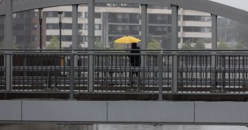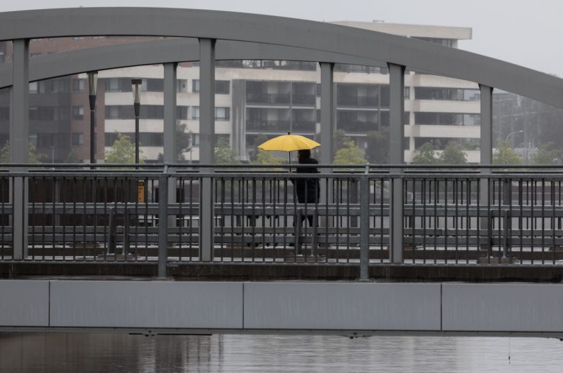
The brolly may not cut it with strong winds and heavy rains predicted for southeast NSW and the ACT into the weekend. Photo: Michelle Kroll.
Easter’s sunny weather will be far behind us by the end of the week, and rain clouds are brewing on the horizon.
Heavy rainfall of upwards of 200 millimetres in some areas is expected for eastern NSW this Friday (5 April) and Saturday (6 April) as a powerful cut-off low in the upper atmosphere and moisture-laden coastal trough combine.
When these two weather systems interact – with the low’s upper cool air mixing with the trough’s warmer, saturated air – it forces large amounts of moisture to fall from our skies.
This type of event has a non-scientific moniker: a Black Nor’easter.
“That’s because the skies aren’t nice and blue with fluffy clouds … it will turn the skies black,” Bureau of Meteorology meteorologist Dr Helen Reid said.
“When they get into a nice alignment with each other, you get a lot of rain.”
Scientifically, it’s referred to as an East Coast Low.
Friday is expected to be the system’s most powerful day, with widespread falls of 50 to 100 mm predicted from Brisbane down to the NSW South Coast and into western NSW as well.
The heaviest combined falls into the weekend could exceed 200 mm, most likely for Sydney, the Blue Mountains and the Illawarra.
Some models suggest rainfall as high as 80 to 150 mm could fall within six hours in these areas.
Further inland, the Capital region and Canberra could pick up 30 to 40 mm on Friday.
But it all depends on how far across the state the cut-off low gets on Thursday.
“It’s a long way to travel [from the west], but either way, we’re expecting broad areas to get a lot of rainfall,” Dr Reid said.
“And it will be broad … not that patchiness where someone, say, gets 100 mm, but you only get 20 mm.”
Waterspouts could also form just off the coast.
The change of wind direction over the water can create just enough movement for a column of water to lift off the ocean.
Dr Reid advised that rain doesn’t have to fall for this to occur, and the best day to witness it could be Thursday.
“If you want to find a safe vantage point and have some good wet weather gear for yourself and your camera … and don’t stand on the rocks … you could get some good images out of this,” she said.
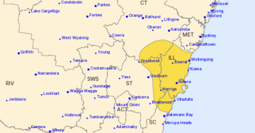
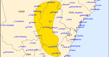
Strong wind warnings have already been issued for Friday from the Coffs Coast to the Batemans Coast, and hazardous surf warnings from the Mid North Coast to the Illawarra.
The system is expected to move closer to the South Coast on Saturday.
Dr Reid said that while Canberra could experience more of a brisk breeze, it would be quite windy on the coast.
“Don’t bother with an umbrella, just a raincoat or clothes you don’t mind getting wet!”
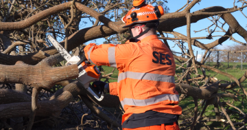
The NSW State Emergency Service has urged coastal residents to prepare for the wet weather now.
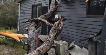
“Simple things like cleaning your gutters, trimming trees and branches away from properties and securing loose items around your houses will help keep you and your families safe during poor weather,” Assistant Commissioner Sean Kearns said.
“Rainfall may exceed 100 mm over a large number of locations, and isolated totals close to 200 mm are also possible, which is why we’ve prepositioned personnel and assets early at a number of locations across the state.
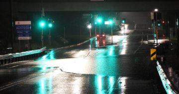
“Flood and storm teams are on standby to respond should they be required, but we’re pleading with the community to be prepared, stay informed, and avoid driving through floodwaters.”
People can download the Hazards Near Me app to stay updated with the latest flood and storm warnings.
If you need assistance from the NSW SES, call 132 500; if the situation is life-threatening, call Triple Zero.
Original Article published by Claire Fenwicke on Riotact.


