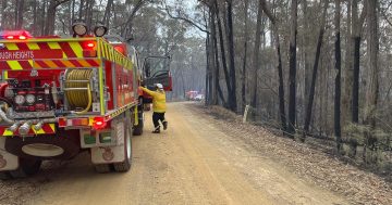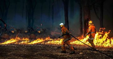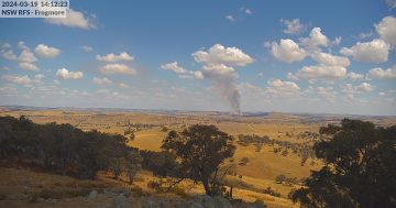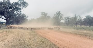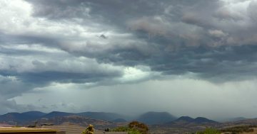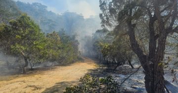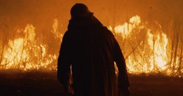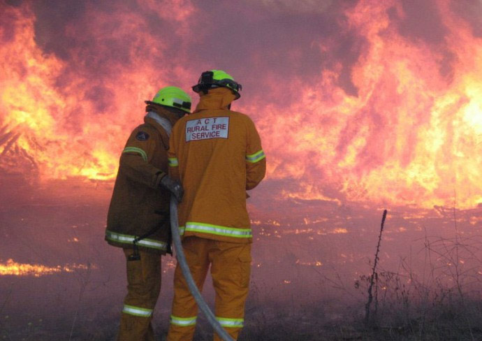
A ‘below normal’ bushfire outlook has been announced for the ACT, but residents were still advised to prepare now. Photo: ACT RFS.
While we may bemoan rainy days, they’ve had a positive impact on our spring bushfire outlook.
The Australasian Fire and Emergency Service Authorities Council (AFAC) released the Australian Seasonal Bushfire Outlook on Wednesday (24 August).
It showed our above-average winter rainfall had led to a below-normal fire potential for the ACT and surrounding areas across the border, as well as “reduced fuel loads” in regions still recovering from the 2019-20 bushfire season.
ACT Rural Fire Service chief officer Rohan Scott said firefighters would use this opportunity to continue fire mitigation operations such as burn-offs and he encouraged the community to use this time to prepare their properties as well.
“You shouldn’t be complacent. There is still potential for fires to develop and impact the community very quickly,” he said.
“It’s a good opportunity for the community to protect themselves and prepare themselves for anything that may occur.”
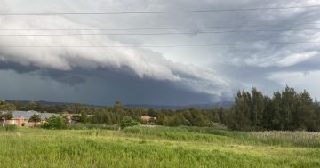
Mr Scott warned that fires weren’t the only natural phenomenon people needed to be mindful of during the coming months.
“We’re also in that severe weather season, so we have storms and floods to also prepare for,” he said.
“A community that’s well prepared helps us to protect you in a time of need.”
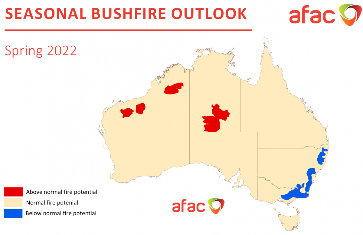
Spring Seasonal Bushfire Outlook. Photo: AFAC.
Above-average rain has fallen on much of eastern Australia from May to July, with above-median rainfall expected for the eastern half of the country throughout spring.
Maximum temperatures for southeast NSW were predicted to be above average during spring, with warmer than average minimum temperatures also expected.
A negative Indian Ocean Dipole (IOD) developed earlier this winter with models indicating this was likely to continue into late spring, which increased the likelihood of more above-average rainfall.
A La Niña alert has also been issued, with a 70 per cent chance the atmospheric phenomenon would reform later this year. This also increased the likelihood of above-average spring rainfall for eastern parts of Australia.
According to the AFAC outlook report, forest fire activity was historically lower in eastern Australia during La Niña or negative IOD years.
“However, regions that see above average rainfall leading to increased grass vegetation growth can subsequently see an increase in grassfire risk during short periods of warmer and drier conditions within the season,” it said.
It was noted that the ‘below normal’ bushfire outlook for the ACT depended on continued above-average rainfall throughout spring.
“Should the expected above-average rainfall not be received, then we would expect to see normal fire potential for grasslands in the ACT during spring,” it said.
A similar caveat was mentioned for NSW, as persistent above-average rainfall had resulted in “unusually high fuel loads” in grasslands and shrublands.
More grass was expected to grow throughout spring as soil moisture was high.
“[I]f the above-median rainfall [for spring] does not eventuate, these high grass fuel loads will pose an above-normal grass fire risk during this period,” the AFAC report said.
“Wet conditions have also assisted the recovery of areas burnt in the 2019-20 season, but these areas are expected to remain at below-normal fire potential due to reduced fuel loads and high fuel moisture.
“If the current climate drivers [the IOD and La Niña] break down and result in a drier outlook, very high grass fuel loads could result in larger and more intense fires in NSW.”
The new labels for bushfire potential have been based on the revamped fire rating system, which will launch on 1 September.
Residents are advised to create an Emergency Survival Plan while conditions were favourable. The plan includes a checklist of how to prepare your home, details of your insurance providers in one place, what you would do with pets, and what medical supplies you’d need to pack if you did need to evacuate your home.
Original Article published by Claire Fenwicke on Riotact.


