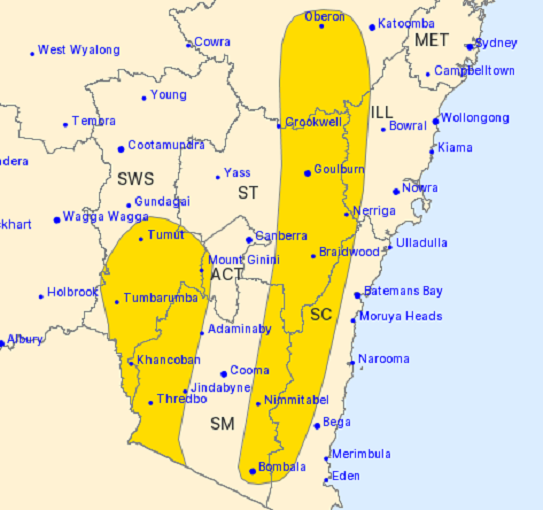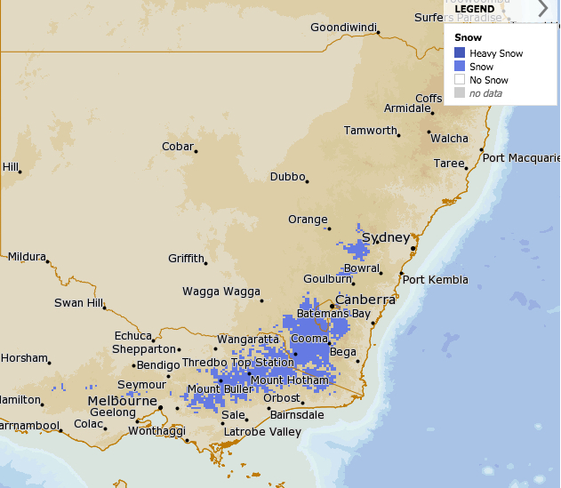
The Bureau of Meteorology forecast for snowfall in the region for this Friday. Image courtesy of BOM.
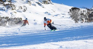
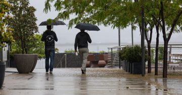
Don’t put away your puffer jackets just yet! Early spring blossoms across South East NSW are about to be challenged by a polar blast that will shatter the idea that the region is moving towards spring, but will delight skiers.
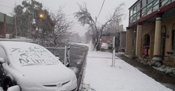
A deep cold front will focus its energy on Southern inland NSW on Thursday, Friday and Saturday, bringing the best chance this winter of snow falling and possibly settling in the capital.
Areas surrounding the ACT such as Corin Forest, Mt Franklin Road and south of Tharwa towards Adaminaby are likely hot spots for snowfalls, while areas to the north around Crookwell may also be worth a drive.
The Bureau of Meteorology is forecasting truckloads of snow for the Alps and Snowy Mountains from today (Wednesday) through to Monday next week. The biggest falls of snow will hit the Snowy Mountains between Thursday and Saturday. Westerly and northwesterly winds of between 40 and 70 km/h are also predicted.
Forecast data is also continually suggesting that Canberra will see snowfalls from this system.
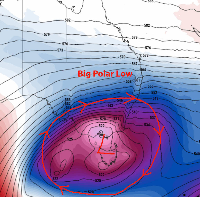
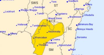
Image of the polar low forecast position for this Thursday. Image courtesy: Higgins Storm Chasing.
Southern NSW will see strong westerly winds of 60-70km/r on Thursday. These winds could even stir up some dust from out west. Wind speeds could reach damaging strengths of 100km/r across the South East, Central Ranges and possibly even the Northern ranges from Thursday to Saturday.
Any bush fires that start could also become very dangerous due to the dry conditions and very strong winds.
Veteran meteorologist Clem Davis says while the cold front heading our way this week will definitely bring snow to the mountains, it’s unlikely to settle in Canberra.
“We tend to be in a bit of a rain shadow here in Canberra and we’re just not quite high enough, so if we do get snow, it could be overnight and it doesn’t usually last long.”
“Certainly the higher areas could see some snow flurries in Canberra depending on when those snow systems come through,” Mr Davis said.
If the capital does receive snowfall, it will have Canberrans remembering the last decent falls in May of 2000 when the Canberra Raiders played the Balmain Tigers at Canberra Stadium on a very chilly Sunday afternoon.
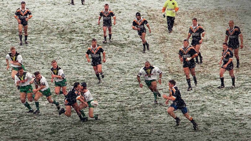
The day the NRL froze at the footy in May 2000 when the Raiders played the Tigers at Canberra Stadium. Photo: Raiders website.
Original Article published by Michael Weaver on The RiotACT.