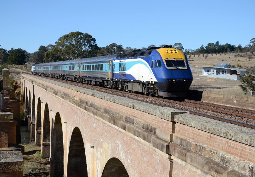
An XPT crosses Carrick Bridge, a narrow structure which residents have used to cross Wollondilly River during floods. Photo: Leon Oberg.
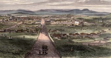
The riverside village of Towrang, northeast of Goulburn, will lose its defining isolation with the construction of a new bridge.
A gateway to a growing district of tree-changers from Sydney, the Southern Highlands and Canberra, newcomers to the district built weekenders and permanent homes, and learned from resourceful locals how to cope with regular flooding which turns the Wollondilly River and Tarlo River into froth-topped torrents.
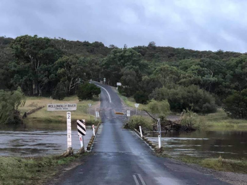
Some residents like the two or three days of isolation when the bridge and causeways disappear under swift floodwater. But people who commute to work will be relieved to have a new $4 million two-lane bridge – 4.5 metres higher than the existing one – due for completion in June 2022.
Towrang resident Mark Collins remembers escaping flood-induced isolation in the 1980s by walking over the railway viaduct onto Carrick Road where often a second car was left for work.
“Fear gripped you when halfway across the viaduct, and with water raging below, you were never too sure if the sound was the floodwater or an approaching train,” he says.
“But residents were lucky because the train crew often changed at Goulburn and drivers were aware of the flood and sounded their whistles repeatedly as they approached the viaduct in case someone was on the bridge.”
Mark says many years ago, when the Towrang area provided wool, meat, vegetables, slate and bricks for Goulburn and Sydney markets, trains over the railway viaduct were the primary transport, even for children attending secondary schooling.
“With increasing use of cars and the closure of Towrang Railway Station, locals became more dependent on the river causeways to get their produce to markets,” he says.
Before Wollondilly River was cleared of willows, floods took a few days more to recede below the bridge and causeways, leaving long ribbons of weeds and debris weighing down stock fences.
However, floods rarely worried the the local Mills, Jones, Apps and Studdert families.
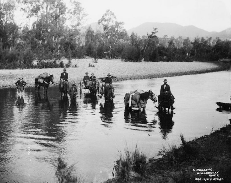
A group of travellers crossing Wollondilly River in early European times. Photo: Kerry & Co. Tyrrell Collection, Powerhouse Museum.
Mark remembers a saying from the 1980s that so few cars were about you could lie down on the road and have a sleep.
“Everyone knew who was driving past,” he says. “But not now. Before and after work, streams of cars travel along Towrang Road.”
The railway viaduct crosses the property of Towrang Valley Progress Association president Allen Goulder, who moved from Berrima about nine years ago. He welcomes the upgraded bridge and says the progress association’s priority now is a new car park worth $37,000 for the town’s hall, and upgrading its park.
Alan Burman, a Towrang resident for 35 years, says the hall is often at the centre of community life. Music nights, Scottish dancing, international food nights, trivia, black-and-white dinners, barbecue nights and craft mornings are held there.
A recent Friday bingo night attracted 70 people, and international food nights are always popular. This month, the Hall Trust organised a pie drive.
Goulburn real estate agent Graeme Welsh says more homes are appearing on small acreage across the district. He says in the old days you could drive for miles and not see a home. These days, towards Big Hill settlement, it seems a home can be seen over every hill you pass.
“The new bridge will give people some confidence,” he says. “It is one of life’s necessities.”
Towrang Bridge after flood waters have receded. Photo: Bec Hornbook.
The district’s residents will welcome improved access for medical emergencies. Alan says the NSW State Emergency Service had previously used a boat during floods to ferry medication across the swollen river.
Mark says medical safety has always been an issue. Years ago, when the former Mulwaree Shire Council managed fire trails, a four-wheel-drive ambulance from Goulburn travelled to Towrang over the Cookbundoon Range when responding to a medical emergency during a flood. Unfortunately, the elderly resident died.
But councils are no longer responsible for the fire trails, which have deteriorated.
Alan says Facebook and an email network keep residents informed of readings indicating the rising Wollondilly River. From those readings, upstream at Murrays Flat, they can predict with a fair degree of accuracy when the low-level bridge at Towrang will go underwater, to within a few hours.
“We have a relatively excellent email network,” he says. “We send out to about 140 recipients that the river is coming up and access is likely to close soon. This gives people time to shop and prepare for a couple of days’ ‘holidays’.”
Original Article published by John Thistleton on The RiotACT.