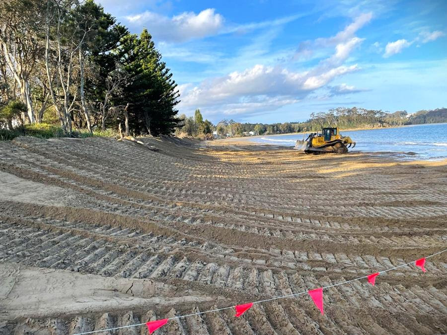
Beach scraping at Surfside’s East Beach in September 2025. Sand from the tidal zone was pushed up onto the dunes. Photo: Eurobodalla Shire Council.
Flood risk in Batemans Bay is much lower than in Moruya and is confined to a relatively smaller area, Eurobodalla Shire councillors were told at a recent workshop.
With private briefings to councillors now banned, councillors are being briefed through workshops that members of the public can observe.
Emma Maratea from Rhelm, the firm that wrote the Moruya and Batemans Bay draft Floodplain Risk Management Plans (FRMP), took the councillors through a presentation on Tuesday (19 May). At the end, she and Gary Bruce, council’s director, planning and environment, answered councillors’ questions.
The plan brings together a flood study conducted in 2021 and council’s coastal management plan that was completed in 2023 and looked at tidal influences and coastal storms.
The FMRP includes forecast impacts from climate change. It projects that sea levels will be 0.9 metres higher by 2100 and that by 2100 rainfall will produce flood levels in elevated areas 0.2 metres higher than today and 0.7 metres higher in low-lying areas.
Ms Maratea said the key sources of flooding in Batemans Bay were catchment flooding from short, intense rainfall and coastal flooding from ocean storms and elevated sea levels.
“When the two coincide, as they often do, rainfall can’t get out because drains are blocked by the tides,” she said. Clyde River has less impact than those two factors.
A map divided the study area into four flood planning constraint categories (FPCC).
The highest risk FPCC1 (orange on the map) should be kept open and not developed. She said more people should not be put into FPCC2 areas (yellow). “People may not be able to get insurance,” Ms Maratea said.
Flood risk can be managed in FPCC3 (blue) if done right. FPCC4 (green) is the area that would be affected by the largest possible flood modelled.
While a rare event, schools and hospitals should not be built in that area. “It isn’t that large, unlike Moruya, so we don’t have to worry too much about FPCC4,” she said.
Looking at the built area, most buildings are in the lower risk FPCC3 and FPCC4 (blue and green) areas.

Map showing four flood planning constraint areas. Photo: Via Eurobodalla Shire Council website.
She said Batemans Bay had much shallower floods than Moruya. There are smaller catchment areas, smaller creeks and flooding occurs when water cannot get out.
“Floods tend to disappear quite quickly and can usually escape when the tide goes out,” Ms Maratea said.
She said flood planning was one of the most powerful levers councils had and the FRMP recommended that council updated its flood planning controls.
Accordingly, with those notable differences between Batemans Bay’s and Moruya’s flood risk, the recommended actions are quite different.
For example, no properties have been identified for potential purchase in Batemans Bay and construction began on the Surfside levee in April 2026.
One of the recommended actions in Moruya’s draft FRMP was voluntary house purchases, potentially costing up to $100 million and construction of levees was not recommended.
The Batemans Bay FRMP recommends raising several roads to improve the emergency response and avoid communities being isolated. These include Beach Road, potentially costing up to $61 million, George Bass Drive at a cost of up to $15.1 million, Northcove Road including work on the culvert which could indicatively cost as much as $4.1 million, and up to $2.7 million to raise Wharf Road.
Hanging Rock Creek catchment area is a vulnerable area but is categorised as a low priority recommended action with a long time frame.
The draft Batemans Bay FMRP was informed by workshops with Transport for NSW, SES and council staff, an online survey which attracted 38 “well-thought-out” responses, plus drop-in sessions.
The community feedback indicated that road raising, flood signage and appropriate development controls for flood-affected land were the preferred management options.
Ms Maratea said the draft Batemans Bay FMRP and supporting documents would be publicly exhibited in coming months and more drop-in sessions would be held.
After the presentation councillor Sharon Winslade asked about the implications for basement carparks in shopping centres in the CBD. Ms Maratea said that would be a key part of council’s planning controls.
Mr Bruce said basement carparks should be built to accommodate a one-in-100-year flood and include crests to give some protection against water entering the basement. He said Batemans Bay CBD was less constrained than Moruya’s.
The draft Batemans Bay Floodplain Risk Management Study and Plan is available on council’s website, with hardcopies available at the Batemans Bay, Moruya and Narooma libraries, and at council’s administration building in Moruya. Submissions can be made online, by email or in writing during the exhibition period that ends 8 July 2026.
There is also an online survey, plus two drop-in sessions, where people can ask council staff and specialist flood experts questions. The sessions are at the Bay Pavilions on 22 June from 3-7 pm and 23 June from 9 am-1 pm.