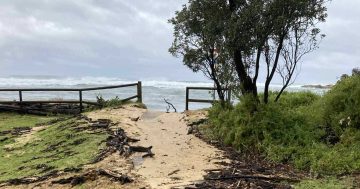
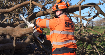
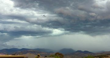
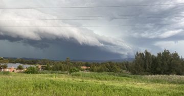
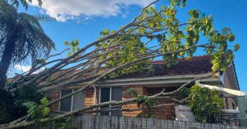
A trampoline caught in a tree at Bega during strong winds in 2025. Coastal residents have been urged to start preparing now for the upcoming storm season. Photo: NSW SES.
South Coast residents have been warned El Nino conditions could increase the chances of a volatile storm season ahead.
September is the beginning of the high-risk weather season when the frequency of storms, strong winds and heavy rain typically increases.
The NSW SES has warned communities to start preparing for wild and windy storm-season conditions and is encouraging residents to prepare their homes, review emergency plans and understand their local risks.
The SES said El Nino events could contribute to greater weather variability when conditions aligned, bringing the risk of dangerous storms, damaging winds, intense rainfall, large hail and flash flooding.
Last storm season, the NSW SES South Eastern Zone responded to more than 2200 storm-related incidents. Of these, 351 occurred in Wollongong and 243 were tasked to the Wingecarribee unit.
The SES recently held a simulation that demonstrated the effects strong winds can have on everyday items including trampolines and outdoor furniture, which, left unsecured, can become lethal projectiles.
NSW SES Commissioner Mike Wassing said incident numbers showed how quickly storms could affect communities.
“What we are seeing is a pattern of more complex and changing weather,” he said.
“Even in years where drier conditions may be expected, we can see severe storms with damaging and destructive winds, large hail, intense rainfall and localised flooding.
“That’s why preparation is critical, because the risks can change quickly.”
Bureau of Meteorology hazard preparedness and response acting manager Max Gonzalez said the bureau’s long-range forecast showed below-average rainfall at the start of spring, particularly west of the Great Dividing Range.
However, east of the Divide, there was a more variable seasonal signal for spring, due to warmer-than-average surface temperatures in the Tasman Sea.
“This means individual coastal troughs and thunderstorms can interrupt this dry period, with potential hazards of heavy rainfall, damaging winds, large hail and flash flooding during these outbreaks,” Mr Gonzalez said.
“For the longer-term picture moving into summer, we will need to monitor the short-range signals and update how climate influences may impact rainfall, fire weather and thunderstorm outbreaks.”
Residents are urged to stay up to date by using the bureau’s website or BOM Weather app, where you can set notifications and locations and be prepared. The Hazards Near Me app, Hazard Watch and the NSW SES website provide real-time updates and tailored alerts.
Emergency Services Minister Jihad Dib urged communities to stay alert and take practical steps now.
“An El Nino event can mean greater weather variability, including more intense storms and the chance of flash flooding,” he said.
“Last year was one of the busiest years on record for the NSW SES, with widespread storms, a cyclone and damaging winds leading to power outages and significant damage across the state.
“Preparation is one of the most effective ways people can protect their homes and their families. Now is the time to act, not after warnings are issued.”
Storm safety advice from NSW SES:
- Secure loose items around your home and yard
- Clean gutters, downpipes and drains
- Trim trees and overhanging branches
- Move vehicles away from trees and flood-prone areas
- Prepare a home emergency plan and emergency kit
- Download the Hazards Near Me NSW app and set your watch zones.
For emergency assistance during floods and storms, call NSW SES on 132 500 and in life-threatening situations call triple zero (000). For more information on how to prepare, visit the SES.
Original Article published by Jen White on Region Illawarra.